MyTopo
Classic USGS Indiantown South Carolina 7.5'x7.5' Topo Map
Couldn't load pickup availability
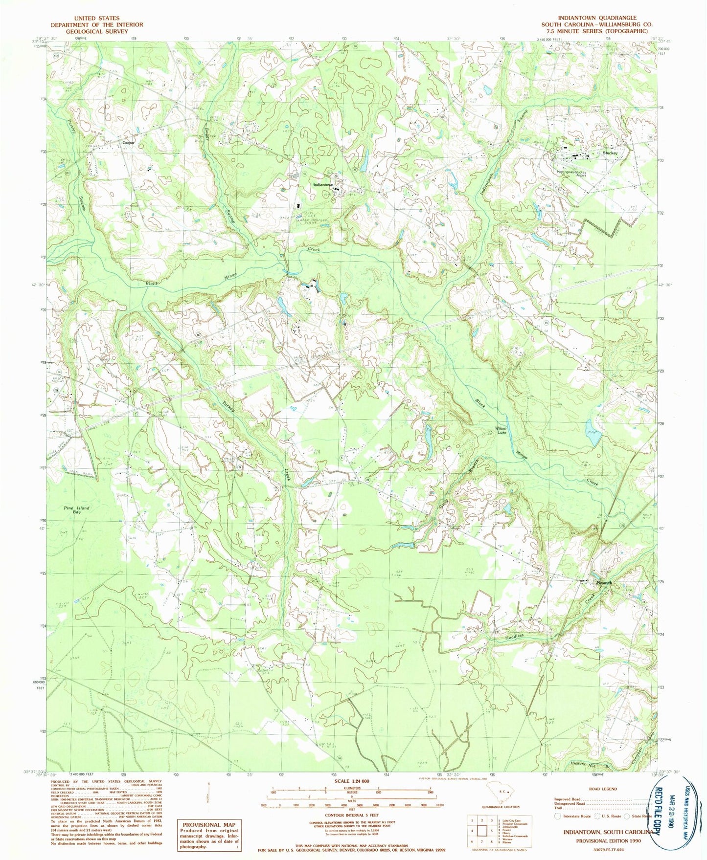
Historical USGS topographic quad map of Indiantown in the state of South Carolina. Map scale may vary for some years, but is generally around 1:24,000. Print size is approximately 24" x 27"
This quadrangle is in the following counties: Williamsburg.
The map contains contour lines, roads, rivers, towns, and lakes. Printed on high-quality waterproof paper with UV fade-resistant inks, and shipped rolled.
Contains the following named places: Battery Park Elementary School, Blake Church, Boggy Swamp, Brown School, Browns Pond, Burrows Hall, Burrows School, Cedar Swamp, Central Church, Coldwater School, Cooper Crossroads, Cooper Post Office, Ervins Pond, Friendship Church, Gully Branch, Hemingway-Stuckey Airport, Hickory Nut Branch, Holiness Church, Indian Town School, Indiantown, Indiantown Cemetery, Indiantown Presbyterian Church, Indiantown School, Indiantown Swamp, James Branch, Lakewood Pond, Lakewood Pond Dam D-3097, Little Branch School, McKnight Swamp, Morning Star Church, Mount Carmel Church, Mount Cedar Church, Nesmith, Nesmith Cemetery, Nesmith Missionary Baptist Church, Nesmith Post Office, Nesmith School, Paisley Swamp, Parsley Swamp, Snowden Pond, Snowden Pond Dam D-3098, South Carolina Noname 45002 D-3099 Dam, South Carolina Noname 45003 D-3095 Dam, Stuckey, Stump Branch, Thompson School, Town of Stuckey, Turkey Creek, Williamsburg County Fire Department Stuckey, Williamsburg County Volunteer Fire Department Nesmith, Wilson Lake, ZIP Code: 29580


