MyTopo
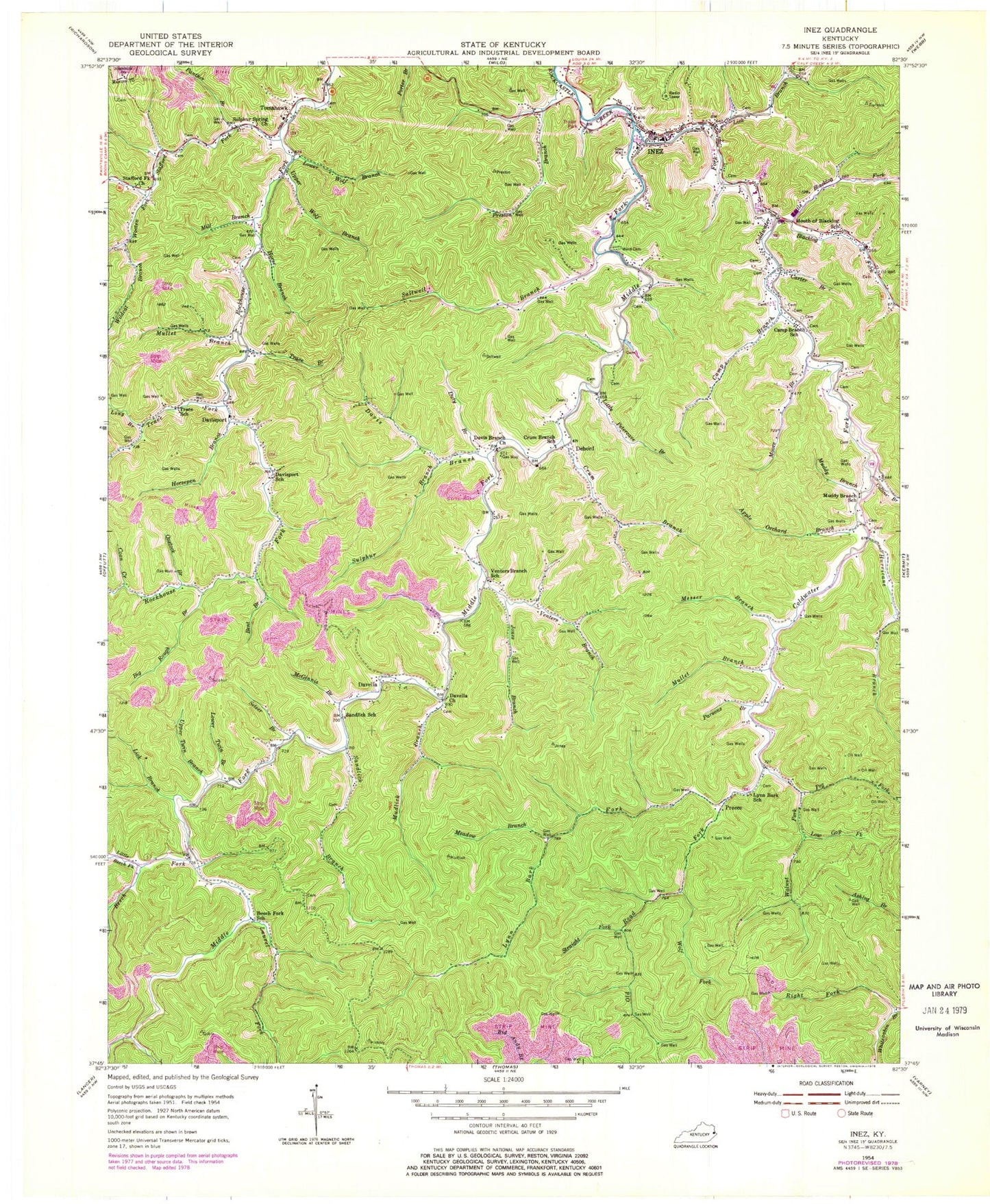
Classic USGS Inez Kentucky 7.5'x7.5' Topo Map
Couldn't load pickup availability
Historical USGS topographic quad map of Inez in the state of Kentucky. Map scale may vary for some years, but is generally around 1:24,000. Print size is approximately 24" x 27"
This quadrangle is in the following counties: Johnson, Martin.
The map contains contour lines, roads, rivers, towns, and lakes. Printed on high-quality waterproof paper with UV fade-resistant inks, and shipped rolled.
Contains the following named places: Apple Orchard Branch, Apple Tree Branch, Beech Fork, Beech Fork School, Bent Branch, Big Rough Branch, Blacklog Fork, Brushy Forks, Camp Branch, Camp Branch School, Carter Branch, Cassady Branch, Cecil Branch, Charity Chapel, City of Inez, Coldwater Fork, Collins Branch, Coon Creek, Crum Branch, Crum Branch School, Davella, Davella Church of Christ, Davis Branch, Davisport, Davisport Freewill Baptist Church, Davisport School, Debord, DeLong Branch, Duty Branch, Henry C Mills Branch, High Bottom Branch, Horse Branch, Horsepen Branch, House Seat Branch, Hurricane Branch, Inez, Inez Division, Inez Middle School, Inez Post Office, Inez Volunteer Fire Department, Inez Volunteer Fire Department Station 2, Jones Branch, Kingfisher Branch, Laurel Fork, Left Fork Bent Branch, Lick Branch, Little Beech Fork, Little Blacklog Fork, Little Petercave Branch, Long Branch, Low Gap Fork, Lower Heights Branch, Lower Twin Branch, Lower Wolf Branch, Lynn Bark Fork, Lynn Bark School, Martin County, Martin County Sheriff's Office, Martin County Vocational School, McGinnis Branch, Meade Branch, Meadow Branch, Messer Branch, Middle Fork Rockcastle Creek, Middle Fork United Baptist Church, Mill Branch, Moore Branch, Mouth of Blacklog School, Muddy Branch, Muddy Branch School, Mudlick Branch, Mullet Branch, Ned Branch, Old Road Fork, Oxstock Branch, Panther Branch, Parsons Branch, Peg Fork, Perry Branch, Porter Branch, Preece Post Office, Preston Branch, Right Branch of Middle Branch, Right Fork Whitecabin Branch, Saltwell Branch, Sandlick Branch, Sandlick School, Scaffold Lick Branch, Setser Branch, Sheldon Clark High School, Short Hollow, Stafford Fork, Stafford Fork Church, Straight Fork, Sulphur Branch, Sulphur Spring Church, Tomahawk, Tomahawk Branch, Tomahawk Freewill Baptist Church, Tomahawk Post Office, Tomahawk School, Tomahawk Volunteer Fire Department, Trace Branch, Trace Fork, Trace Fork United Baptist Church, Trace School, Upper Twin Branch, Upper Wolf Branch, Venters Branch, Venters Branch School, Walnut Fork, Ward Branch, Ward Cemetery, Wendle Post Office, WFJT-AM (Inez), Wildcat Branch, Wolf Fork, Wooten Fork, ZIP Code: 41224


