MyTopo
Classic USGS Infernal Caverns California 7.5'x7.5' Topo Map
Couldn't load pickup availability
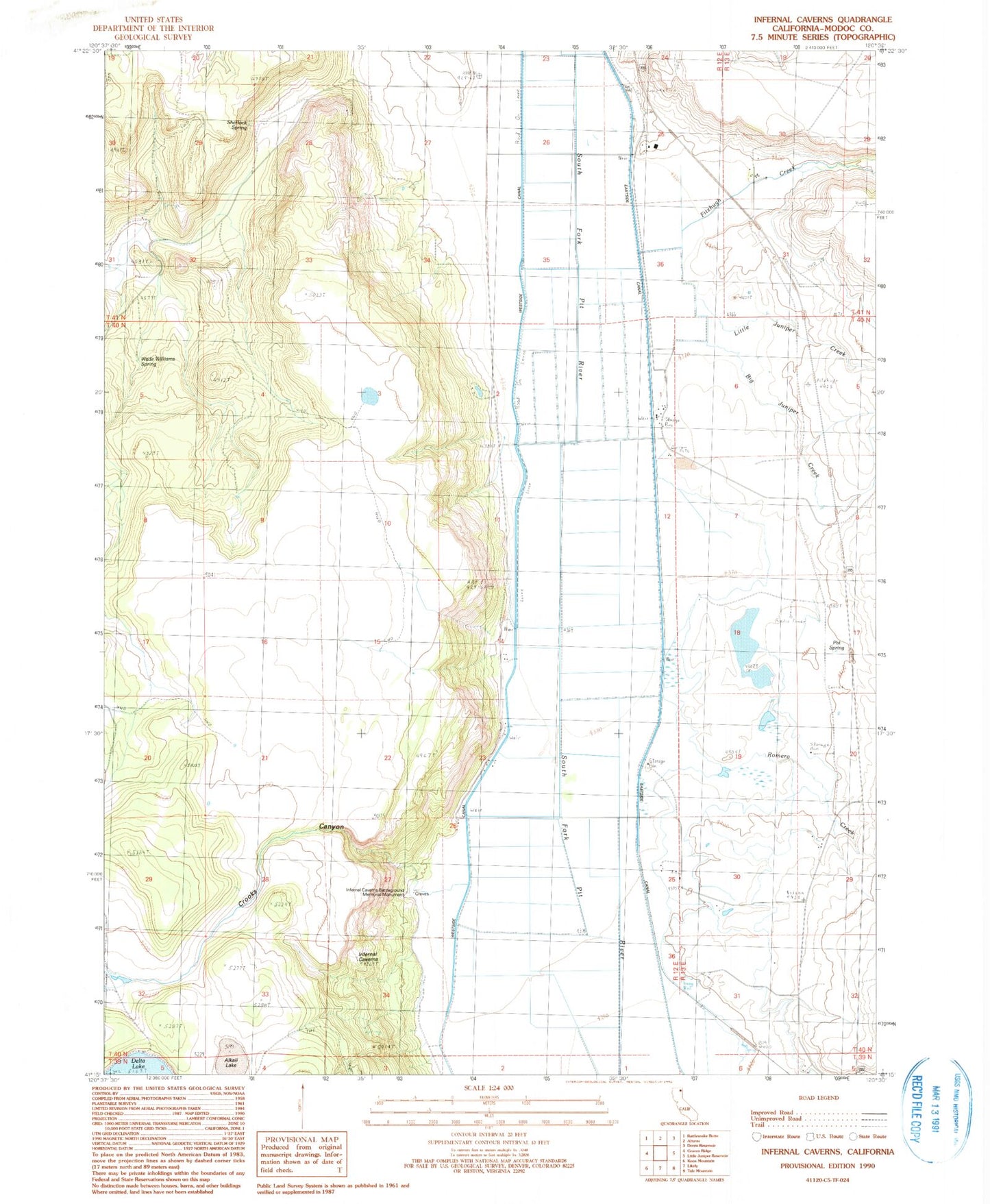
Historical USGS topographic quad map of Infernal Caverns in the state of California. Map scale may vary for some years, but is generally around 1:24,000. Print size is approximately 24" x 27"
This quadrangle is in the following counties: Modoc.
The map contains contour lines, roads, rivers, towns, and lakes. Printed on high-quality waterproof paper with UV fade-resistant inks, and shipped rolled.
Contains the following named places: Alkali Lake, Bayley, Beet Camp, Big Juniper Creek, Bormister, Christensen, Corporation Ranch, Crooks Canyon, Derner, Eastside Canal, Fitzhigh Creek Ranch, Fitzhugh Creek, Infernal Caverns Battleground Memorial Monument, KCNO-AM (Alturas), Likely Fire Department, Little Juniper Creek, McArthur, McGarva, McGarva Reservoir, McGarva Reservoir Two, Pat Spring, Ramsey, Romero Creek, Sherlock Spring, Wade Williams Spring, Warm Spring, Westside Canal, Williams, Winema Airstrip