MyTopo
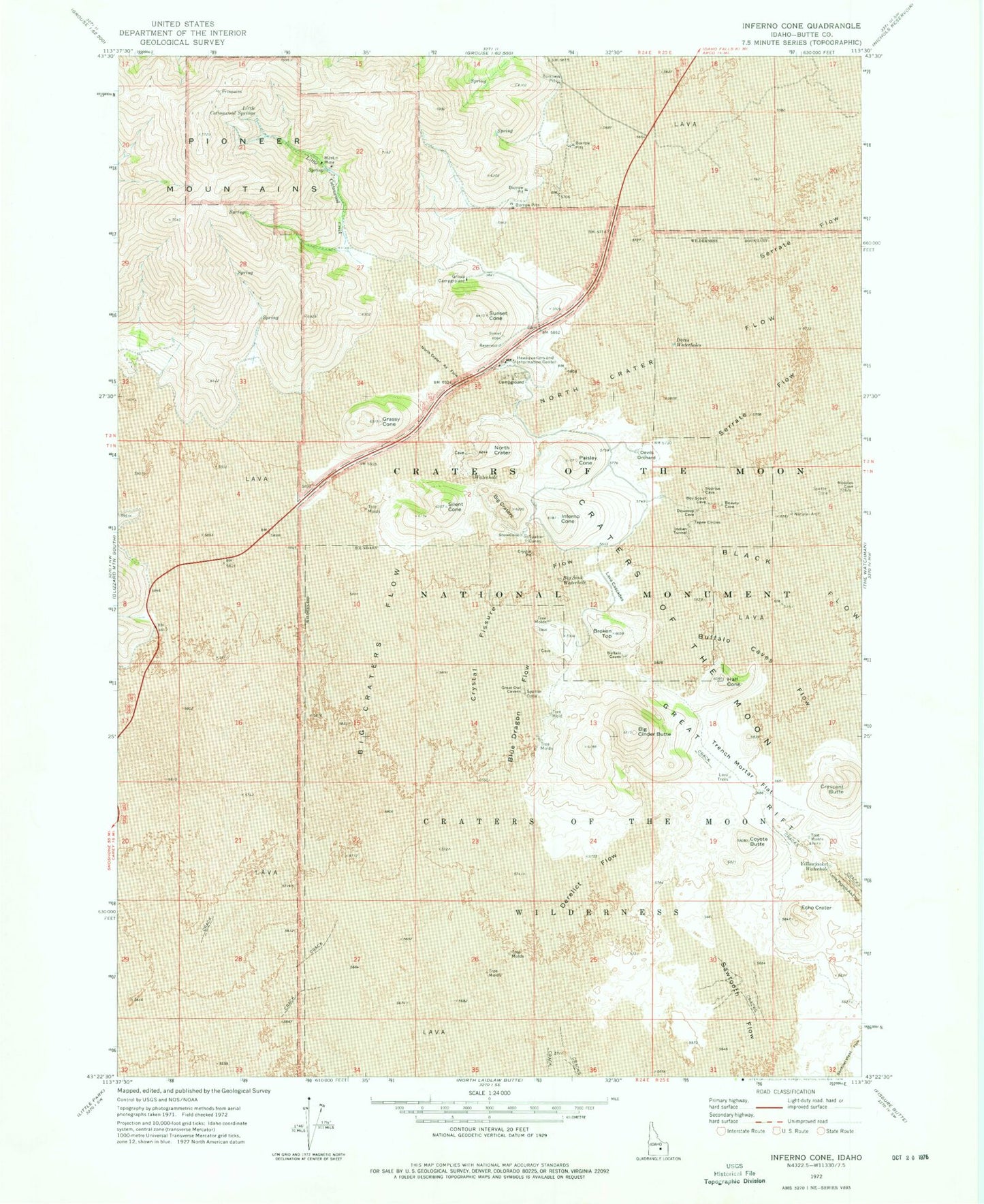
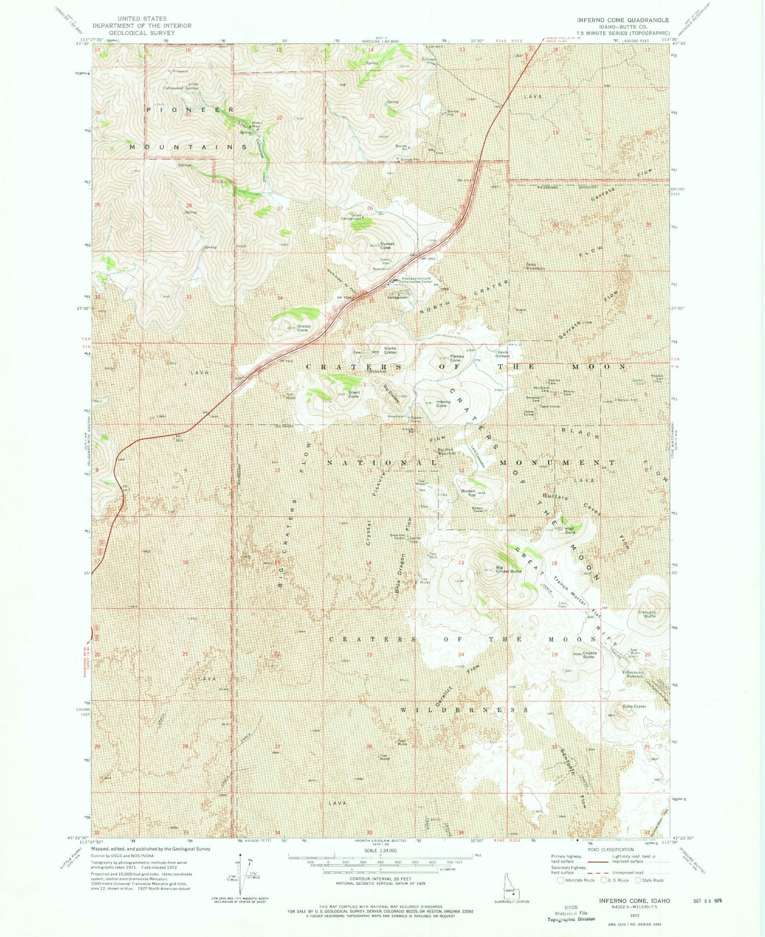
Classic USGS Inferno Cone Idaho 7.5'x7.5' Topo Map
Couldn't load pickup availability
Historical USGS topographic quad map of Inferno Cone in the state of Idaho. Typical map scale is 1:24,000, but may vary for certain years, if available. Print size: 24" x 27"
This quadrangle is in the following counties: Blaine, Butte.
The map contains contour lines, roads, rivers, towns, and lakes. Printed on high-quality waterproof paper with UV fade-resistant inks, and shipped rolled.
Contains the following named places: Big Cinder Butte, Big Craters Flow, Big Sink Waterhole, Blue Dragon Flow, Broken Top, Buffalo Caves Flow, Coyote Butte, Craters of the Moon, Crystal Fissure Flow, Derelict Flow, Devils Orchard, Doves Waterholes, Echo Crater, Grassy Cone, Half Cone, Indian Tunnel, Inferno Cone, Lava Cascades, Little Cottonwood Creek, Little Cottonwood Springs, Martin Mine, North Crater, Paisley Cone, Sawtooth Flow, Sunset Cone, Trench Mortar Flat, Yellowjacket Waterhole, Craters of the Moon National Monument, Crystal Pit, Crescent Butte, Silent Cone, Snow Cone, Tepee Circles, Big Craters, North Crater Aa Flow, North Crater Flow, Craters of the Moon National Wilderness Area, Big Sink


