MyTopo
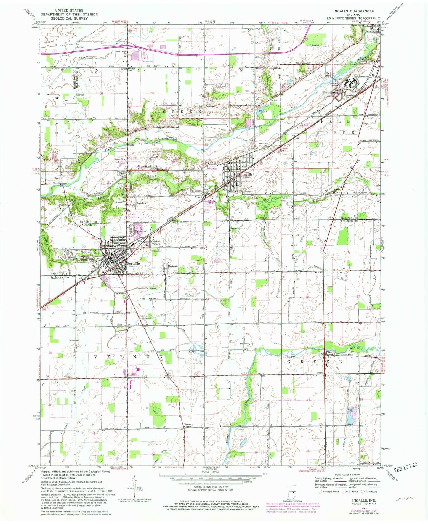
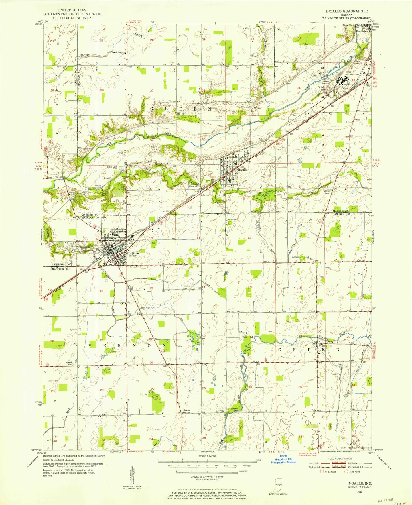
Classic USGS Ingalls Indiana 7.5'x7.5' Topo Map
Couldn't load pickup availability
Historical USGS topographic quad map of Ingalls in the state of Indiana. Map scale may vary for some years, but is generally around 1:24,000. Print size is approximately 24" x 27"
This quadrangle is in the following counties: Hamilton, Hancock, Madison.
The map contains contour lines, roads, rivers, towns, and lakes. Printed on high-quality waterproof paper with UV fade-resistant inks, and shipped rolled.
Contains the following named places: Alfont, Barrett Ditch, Beech Grove Church, Beeler Ditch, Cahill Shore Ditch, Caudell - Simmons Cemetery, Center School, Chappell - Shore Cemetery, Colonial Village, Correctional Industrial Facility, Crosley Cemetery, Denny Corner, Doty Cemetery, Eastgate, Eden, Fausset Cemetery, Fort Cemetery, Fortville, Fortville Park, Fortville Police Department, Fortville Post Office, Fortville Volunteer Fire Department, Fortville-Vernon Townsip Library, Foster Branch, Gravel Lawn Cemetery, Green Township Volunteer Fire Department, Hancock County Sheriff Office, Helmcrest, Hiday Cemetery, Idlewold, Indiana State Police Department District 51, Ingalls, Ingalls Fire Department, Ingalls Police Department, Ingalls Post Office, Jackson Ditch, Jackson Ditch Arm, Jones Cemetery, Lick Creek, McFadden Ditch, Mendon Church, Mingle Ditch, Mount Carmel Cemetery, Mount Carmel Church, Mount Vernon Elementary School, Mount Vernon High School, Mount Vernon Middle School, Olvey Cemetery, Pendleton Correctional Facility, Pendleton Juvenile Correctional Facility, Rash Ditch, Reeves Sand and Gravel Pit, Seals Ambulance Service, Sunview, Town of Fortville, Town of Ingalls, Township of Green, Township of Vernon, Whybrew Field, Wilson Ditch, Wynn Cemetery, ZIP Codes: 46040, 46048


