MyTopo
Classic USGS Ingham Canyon Utah 7.5'x7.5' Topo Map
Couldn't load pickup availability
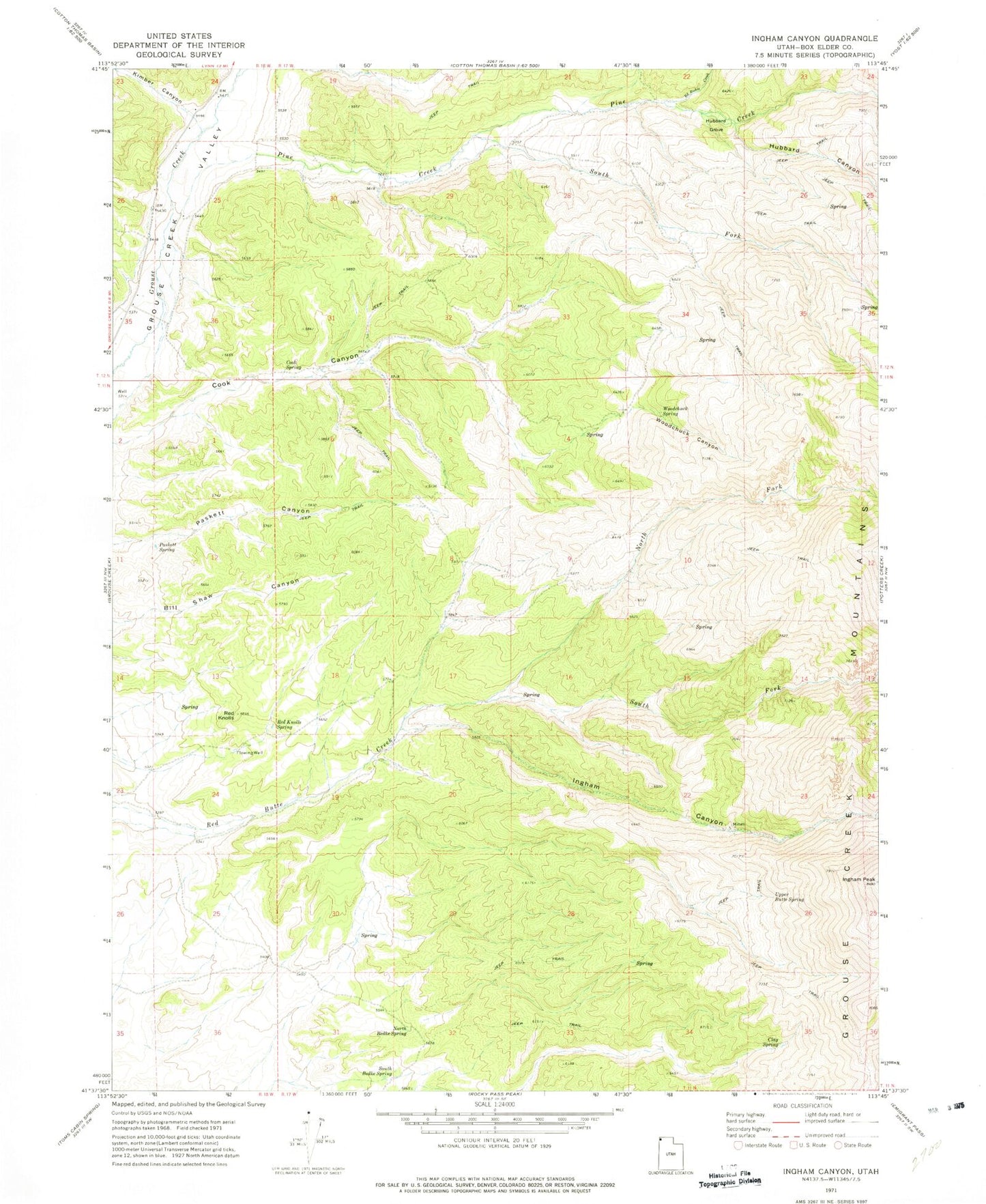
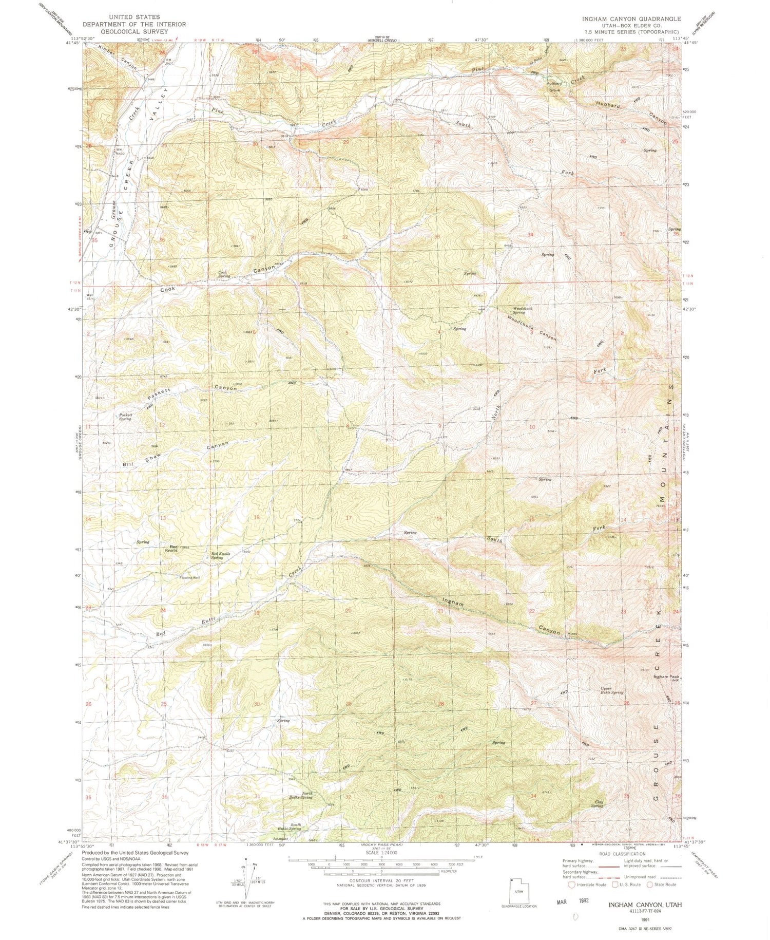
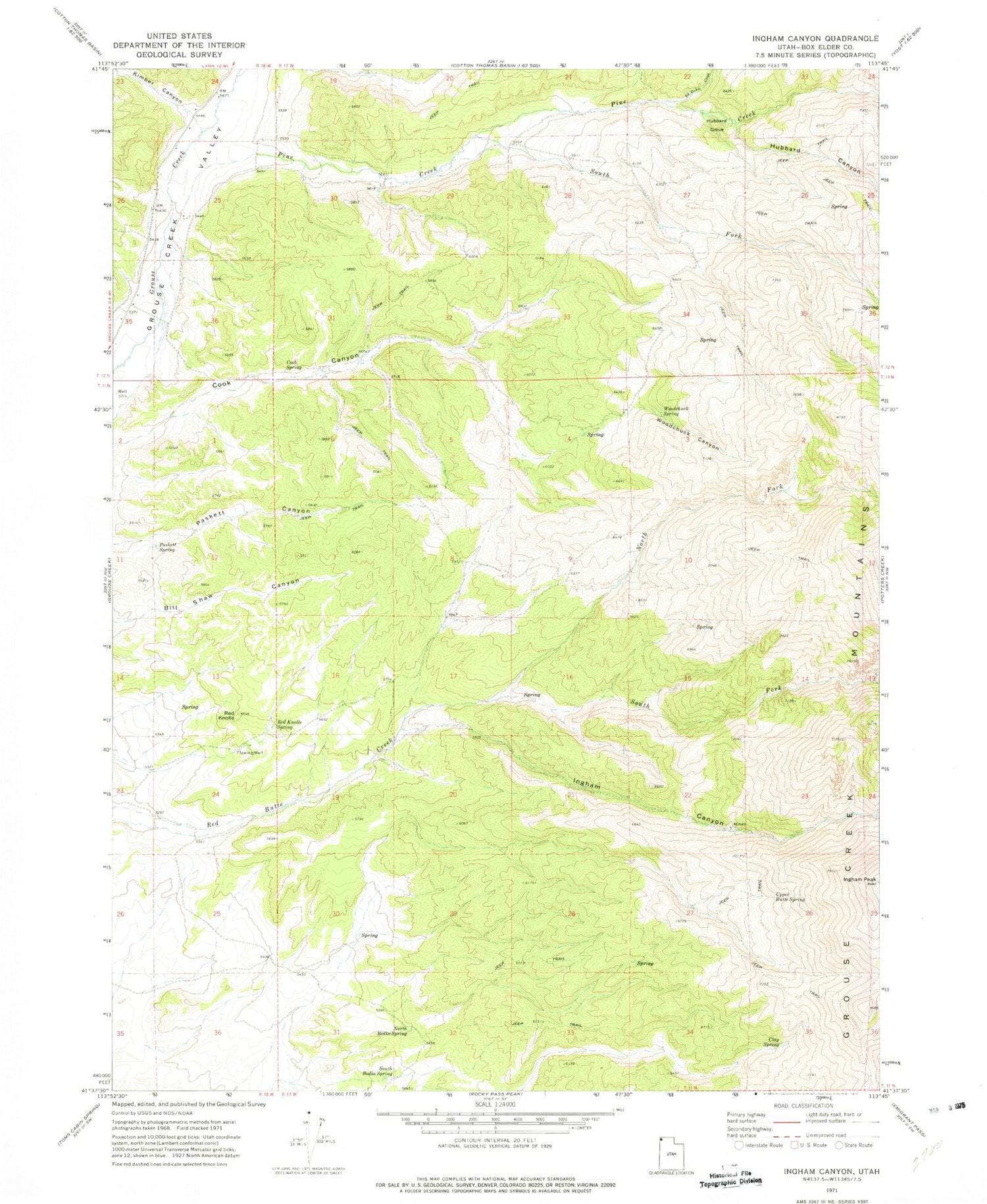
Historical USGS topographic quad map of Ingham Canyon in the state of Utah. Map scale may vary for some years, but is generally around 1:24,000. Print size is approximately 24" x 27"
This quadrangle is in the following counties: Box Elder.
The map contains contour lines, roads, rivers, towns, and lakes. Printed on high-quality waterproof paper with UV fade-resistant inks, and shipped rolled.
Contains the following named places: Clay Spring, Cook Spring, Ed Richie Creek, Grouse Creek Mountains, Hubbard Canyon, Hubbard Grove, Ingham Canyon, Ingham Peak, Kimbell Creek, Kimber Canyon, North Bedke Spring, North Fork Red Butte Creek, Paskett Spring, Pine Creek, Red Knolls, Red Knolls Spring, South Bedke Spring, South Fork Pine Creek, South Fork Red Butte Creek, Upper Butte Spring, Woodchuck Canyon, Woodchuck Spring