MyTopo
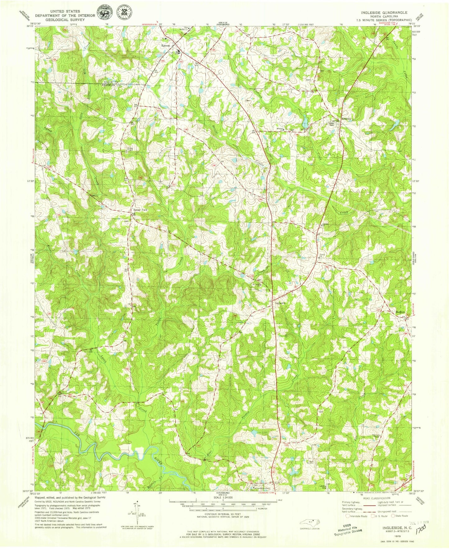
Classic USGS Ingleside North Carolina 7.5'x7.5' Topo Map
Couldn't load pickup availability
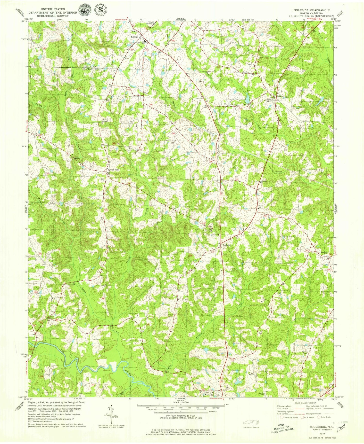
Historical USGS topographic quad map of Ingleside in the state of North Carolina. Map scale may vary for some years, but is generally around 1:24,000. Print size is approximately 24" x 27"
This quadrangle is in the following counties: Franklin, Vance.
The map contains contour lines, roads, rivers, towns, and lakes. Printed on high-quality waterproof paper with UV fade-resistant inks, and shipped rolled.
Contains the following named places: Ball Airport, Buffalo Creek, Corinth Church, Eaves Creek, Epsom, Epsom Elementary School, Epsom Fire and Rescue Department, Franklin Academy, Giles Creek, Gills Little Mill Creek, Haywood Church, Highland Chapel, Ingleside, Kearney, Lake View, Lake View Dam, Letha, Locust Grove Church, Lynch Creek, Mitchell Church, Moulton, New Bethel Church, Pine Grove Church, Rocky Ford, Rolling Chapel, Simms Bridge, Strickland Pond, Strickland Pond Dam, Tooles Creek, Township of Hayesville, Trinity Church


