MyTopo
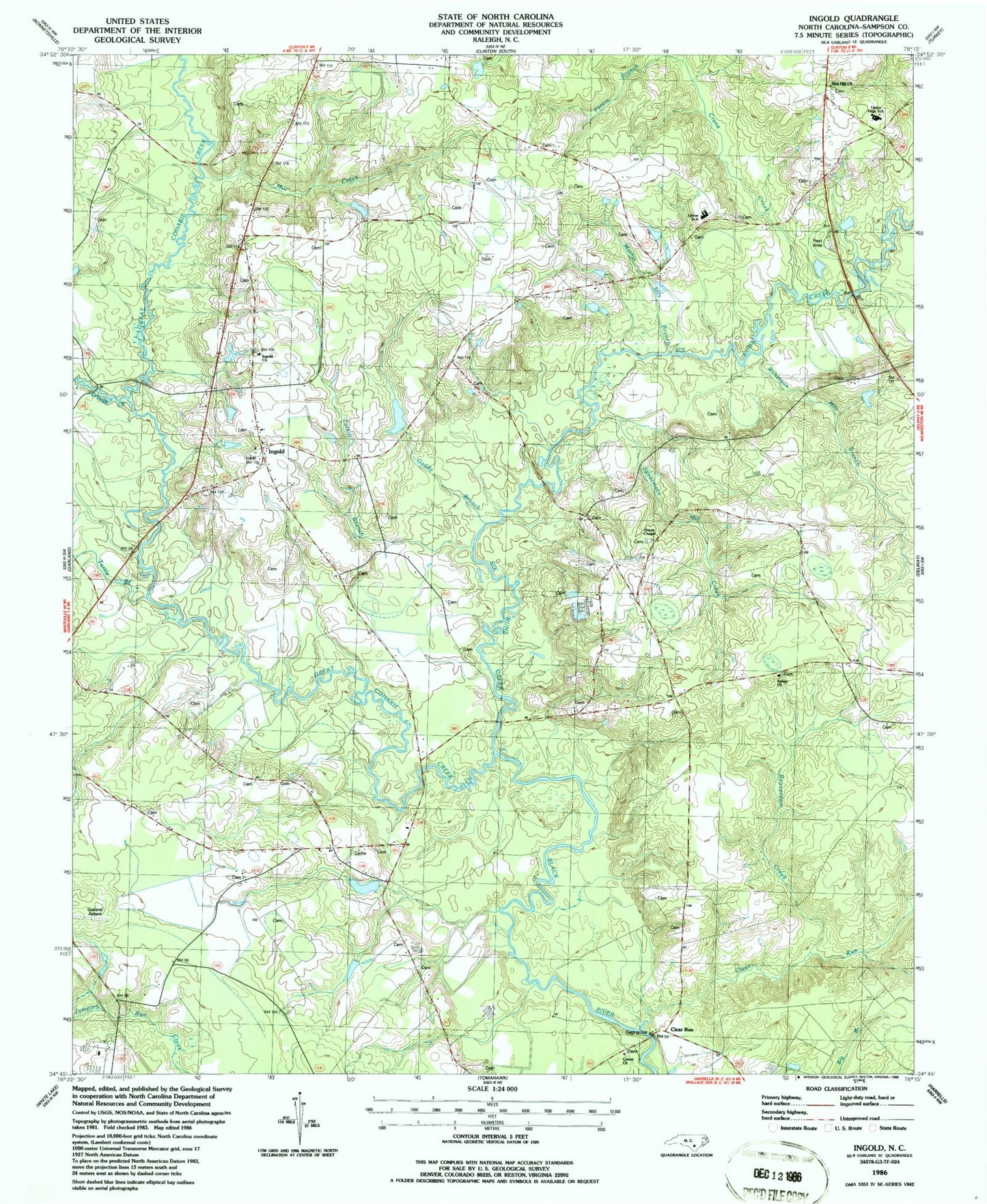
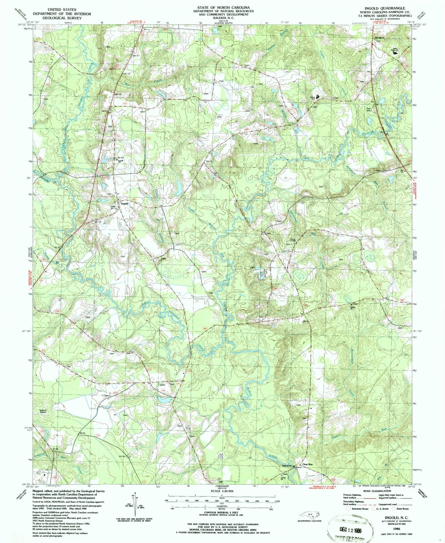
Classic USGS Ingold North Carolina 7.5'x7.5' Topo Map
Couldn't load pickup availability
Historical USGS topographic quad map of Ingold in the state of North Carolina. Map scale may vary for some years, but is generally around 1:24,000. Print size is approximately 24" x 27"
This quadrangle is in the following counties: Sampson.
The map contains contour lines, roads, rivers, towns, and lakes. Printed on high-quality waterproof paper with UV fade-resistant inks, and shipped rolled.
Contains the following named places: Beaverdam Creek, Bills Swamp, Buckhorn Creek, Center Church, Clear Run, Crane Creek, Gaddy Branch, Garland Airport, Great Coharie Creek, Hayes Chapel, Hog Island Swamp, Ingold, Ingold Census Designated Place, Ingold Church, Little Coharie Creek, Mathis Mill Branch, Mill Creek, Peters Branch, Red Hill Church, Robinson Mill Branch, Salem Church, Six Runs Creek, Spearmans Mill Creek, Tarkill Branch, Taylors Bridge Fire Department, Township of Lisbon, Township of South River, Turtle Branch, Union High School, Union School


