MyTopo
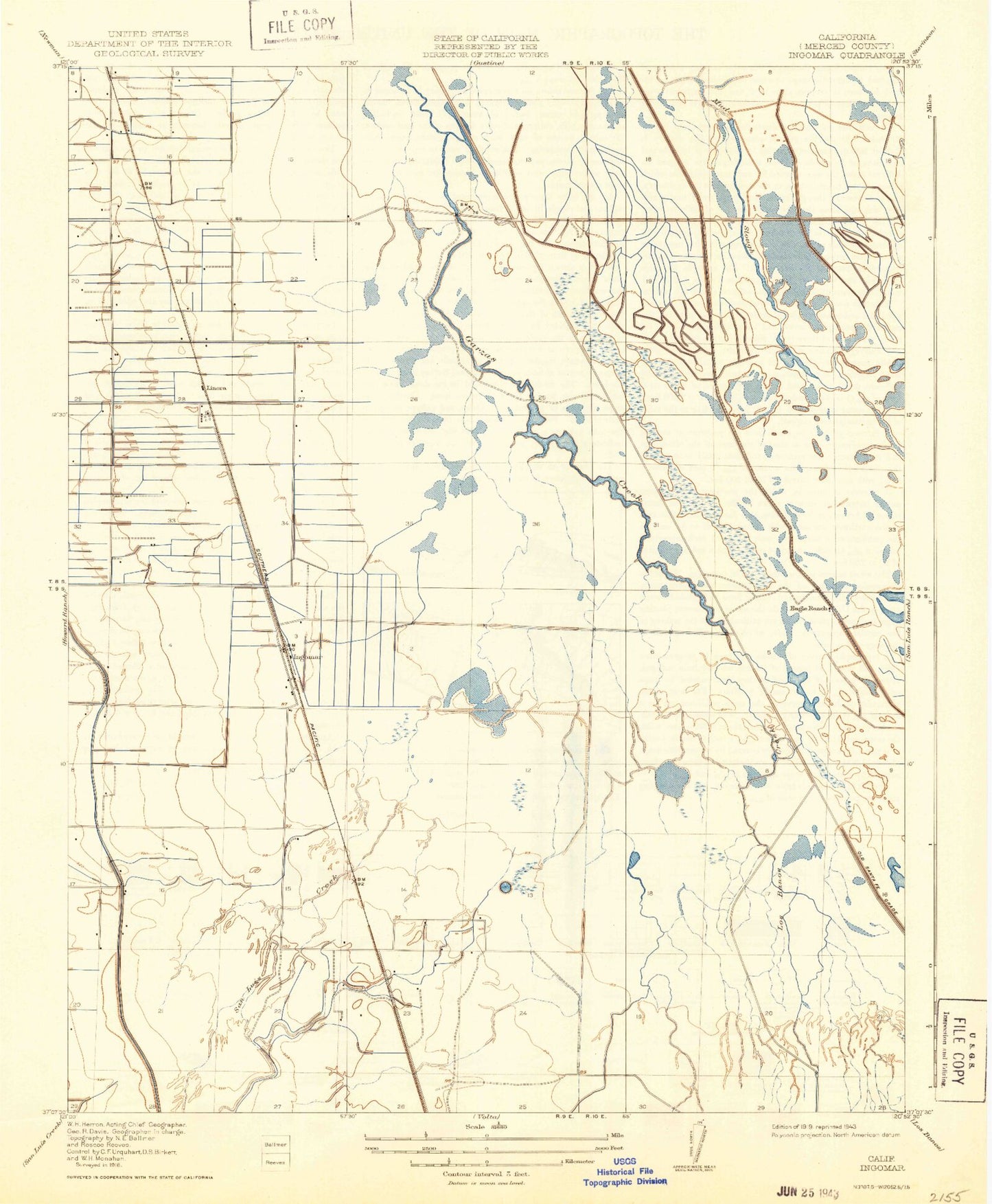
Classic USGS Ingomar California 7.5'x7.5' Topo Map
Couldn't load pickup availability
Historical USGS topographic quad map of Ingomar in the state of California. Map scale may vary for some years, but is generally around 1:24,000. Print size is approximately 24" x 27"
This quadrangle is in the following counties: Merced.
The map contains contour lines, roads, rivers, towns, and lakes. Printed on high-quality waterproof paper with UV fade-resistant inks, and shipped rolled.
Contains the following named places: Bay City Gun Club, Big Drake Gun Club, Cottonwood Gun Club, D and D Holsteins Dairy, Eagle Ditch, Eagle Ranch, Eagle Well, Fremont Ranch, Garzas Creek, Gilroy Gun Club, Gustine Division, Gustine Elementary School, Gustine Gun Club, Gustine Middle School, Hollister Gun Club, Ingomar, Ingomar Gun Club, Ingomar Ranch, Kesterson Ditch, Linora, Linora Pumping Station, Los Banos Creek, M and C Dairy, Manteca Gun Club, Oakland Gun Club, Rubino Ditch, Rubino Gun Club, Salinas Gun Club, San Luis Creek, San Luis Holding Reservoir, San Luis Spillway Ditch, Santa Fe Canal, Segaita Gun Club, Six Spot Gun Club, Triangle Gun Club, Tri-City Gun Club


