MyTopo
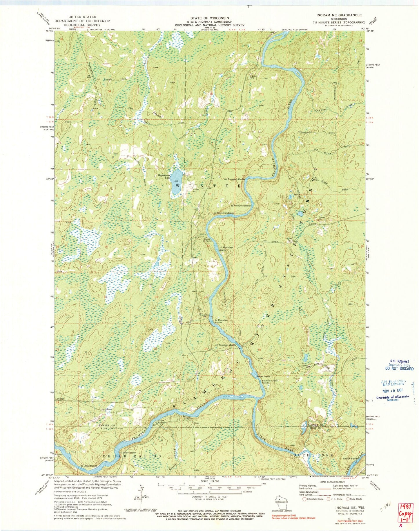
Classic USGS Ingram NE Wisconsin 7.5'x7.5' Topo Map
Couldn't load pickup availability
Historical USGS topographic quad map of Ingram NE in the state of Wisconsin. Typical map scale is 1:24,000, but may vary for certain years, if available. Print size: 24" x 27"
This quadrangle is in the following counties: Rusk, Sawyer.
The map contains contour lines, roads, rivers, towns, and lakes. Printed on high-quality waterproof paper with UV fade-resistant inks, and shipped rolled.
Contains the following named places: Connors Creek, Deer Creek, Dodes Island, First Cedar Rapids, First Porcupine Rapids, First Wannigan Rapids, Flambeau Falls Rapids, George Ladd Creek, Hackett Creek, Hegmeister Lake, Scratch Rapids, Second Cedar Rapids, Second Porcupine Rapids, Second Wannigan Rapids, Third Porcupine Rapids, Third Wannigan Rapids, Gunners Rapids, Flambeau River State Forest, South Fork Flambeau River, Flambeau River Hardwood Forest State Natural Area