MyTopo
Classic USGS Inkster North Dakota 7.5'x7.5' Topo Map
Couldn't load pickup availability
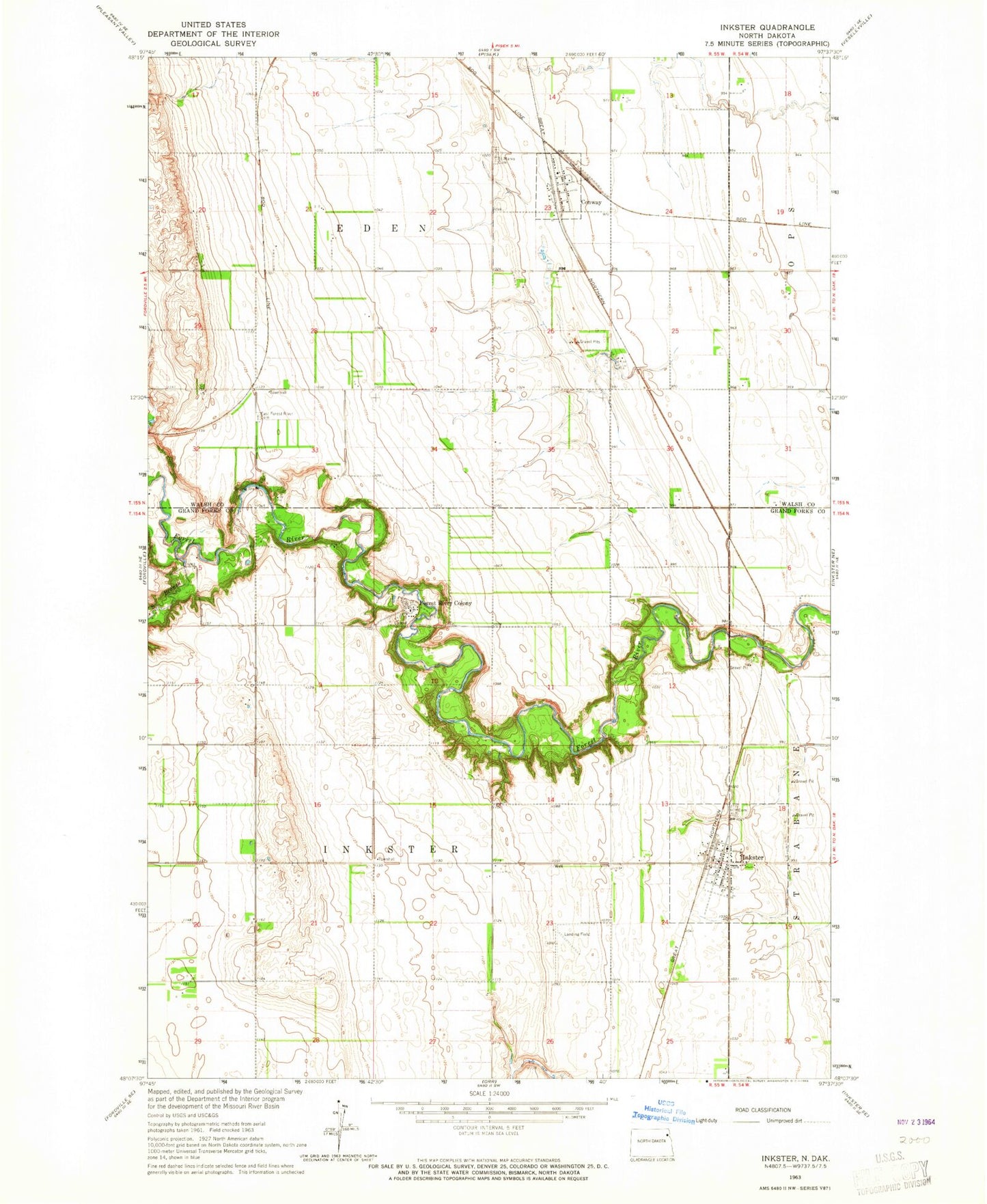
Historical USGS topographic quad map of Inkster in the state of North Dakota. Map scale may vary for some years, but is generally around 1:24,000. Print size is approximately 24" x 27"
This quadrangle is in the following counties: Grand Forks, Walsh.
The map contains contour lines, roads, rivers, towns, and lakes. Printed on high-quality waterproof paper with UV fade-resistant inks, and shipped rolled.
Contains the following named places: City of Conway, City of Inkster, Conway, East Forest River Cemetery, Forest River Colony, Forest River Colony Cemetery, Forest River School, Inkster, Inkster Airport, Inkster Cemetery, Inkster Post Office, Inkster Rural Fire Protection District Station, Inkster Town Hall, Saint Marks Cemetery, South Branch Forest River, Township of Eden, Township of Inkster, ZCBJ Lodge Cemetery