MyTopo
Classic USGS Inland Nebraska 7.5'x7.5' Topo Map
Couldn't load pickup availability
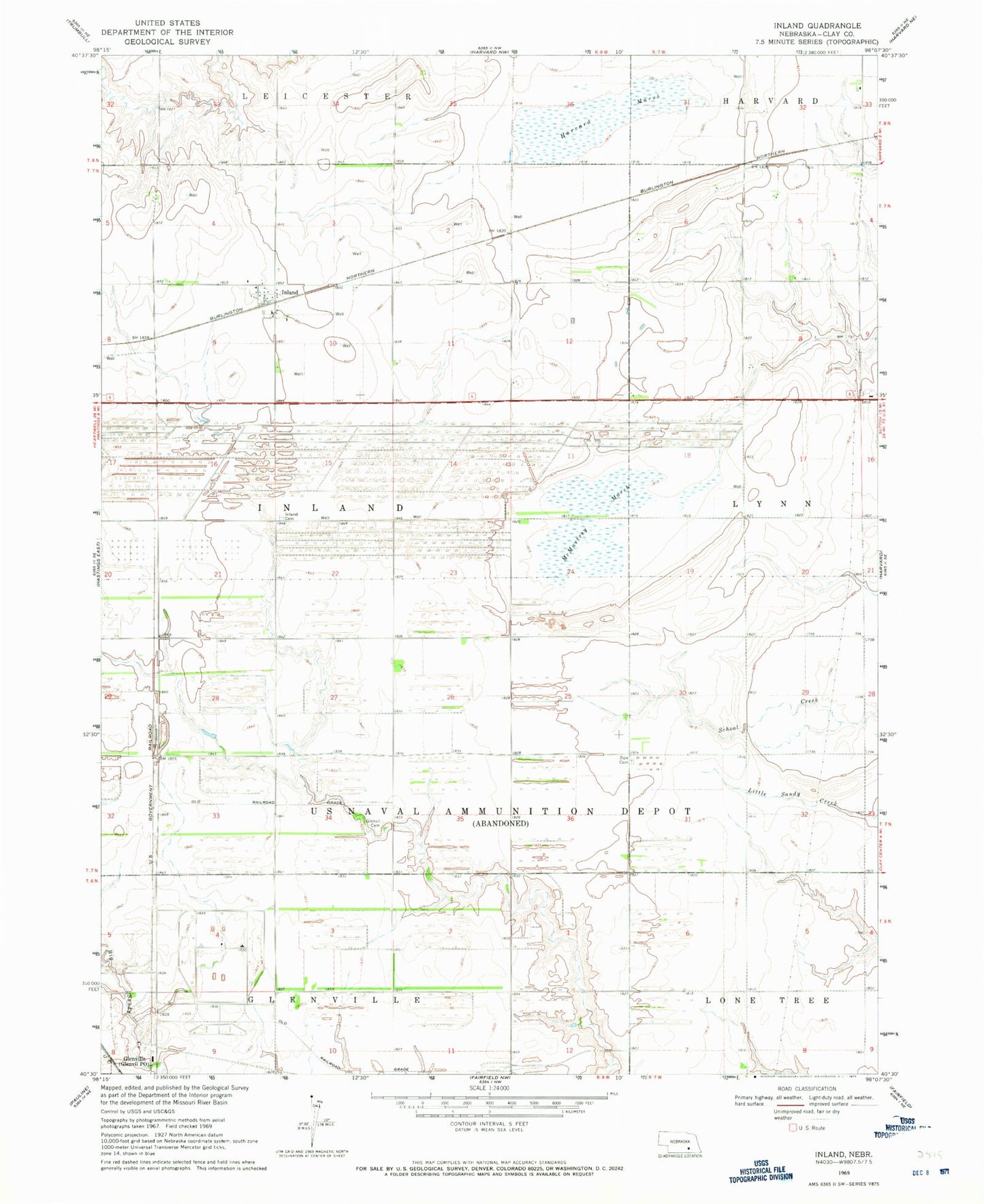
Historical USGS topographic quad map of Inland in the state of Nebraska. Map scale may vary for some years, but is generally around 1:24,000. Print size is approximately 24" x 27"
This quadrangle is in the following counties: Clay.
The map contains contour lines, roads, rivers, towns, and lakes. Printed on high-quality waterproof paper with UV fade-resistant inks, and shipped rolled.
Contains the following named places: Clay County Waterfowl Production Area, Harvard Federal Waterfowl Production Area, Harvard Marsh, Hastings Naval Ammunition Depot, Inland, Inland Census Designated Place, Inland Post Office - CPO, Inland Public School, McMurtrey Marsh, Township of Inland, United States Naval Ammunition Depot, Zion Cemetery, ZIP Code: 68954