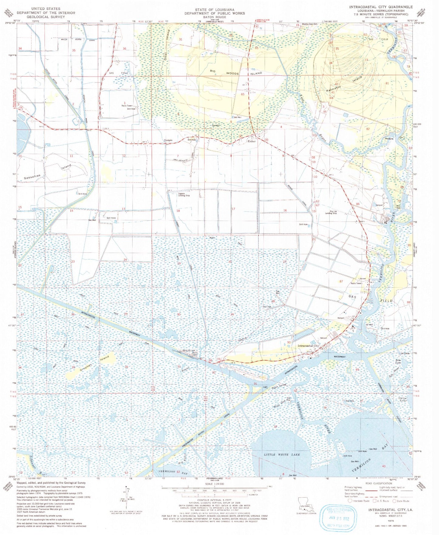
MyTopo
Classic USGS Intracoastal City Louisiana 7.5'x7.5' Topo Map
Couldn't load pickup availability
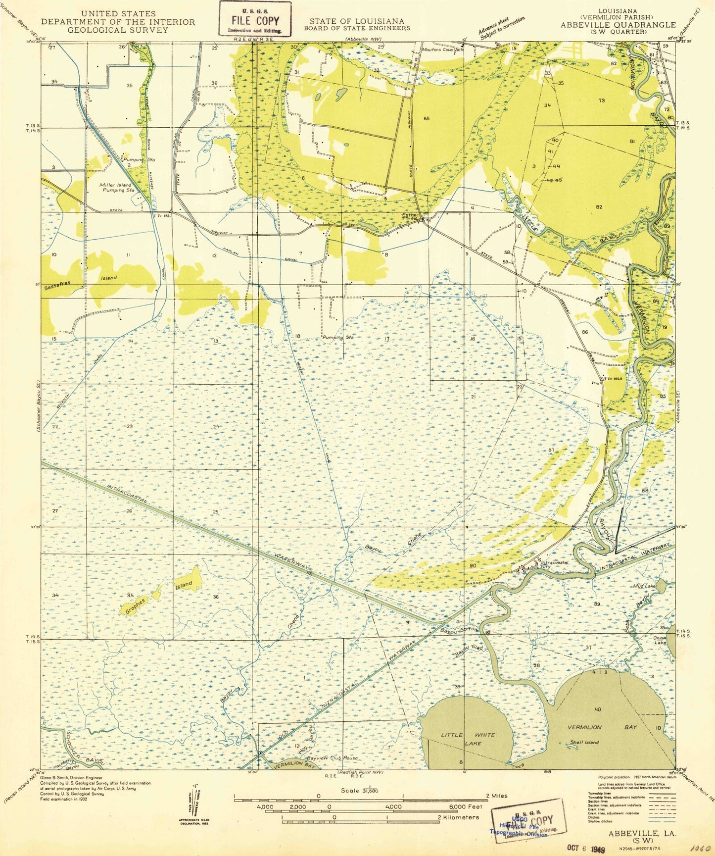
Historical USGS topographic quad map of Intracoastal City in the state of Louisiana. Map scale may vary for some years, but is generally around 1:24,000. Print size is approximately 24" x 27"
This quadrangle is in the following counties: Vermilion.
The map contains contour lines, roads, rivers, towns, and lakes. Printed on high-quality waterproof paper with UV fade-resistant inks, and shipped rolled.
Contains the following named places: Bayou Chene, Bayou Glad, Bayou Sorrow, Bebe Bayou, Bebe Lake, Big Woods Island, Central Industries Airport, Danny Richard Marina, Era Heliport, Esther, Esther Baptist Church, Esther Gas Field, Esther Post Office, Exxon Intracoastal City Terminal Seaplane Base, Four Mile Cutoff, Goat Island, Grophes Island, Hall-Schultz Canal, Hebert Canal, Hog Bayou, Intracoastal City, Intracoastal City Gas Field, Intracoastal City Heliport, Leland Bowman Lock, Little Bayou, Little White Lake, Live Oak Oil and Gas Field, Meaux Canal, Miller Island Canal, Mouton Cove Cemetery, North Buck Point Gas Field, Palmetto Island, Roy Lee Landing Strip, Sagrera Landing Strip, Saint James Catholic Church, Sassafras Island, Schooner Bayou, Seventh Ward Canal, Seventh Ward Volunteer Fire Department, Shell Island, Shell Morgan Landing, Southwest Esther Gas Field, Tenneco Intracoastal Heliport, Theall Gas Field, Union Oil Company of California Heliport, Vermilion River