
MyTopo
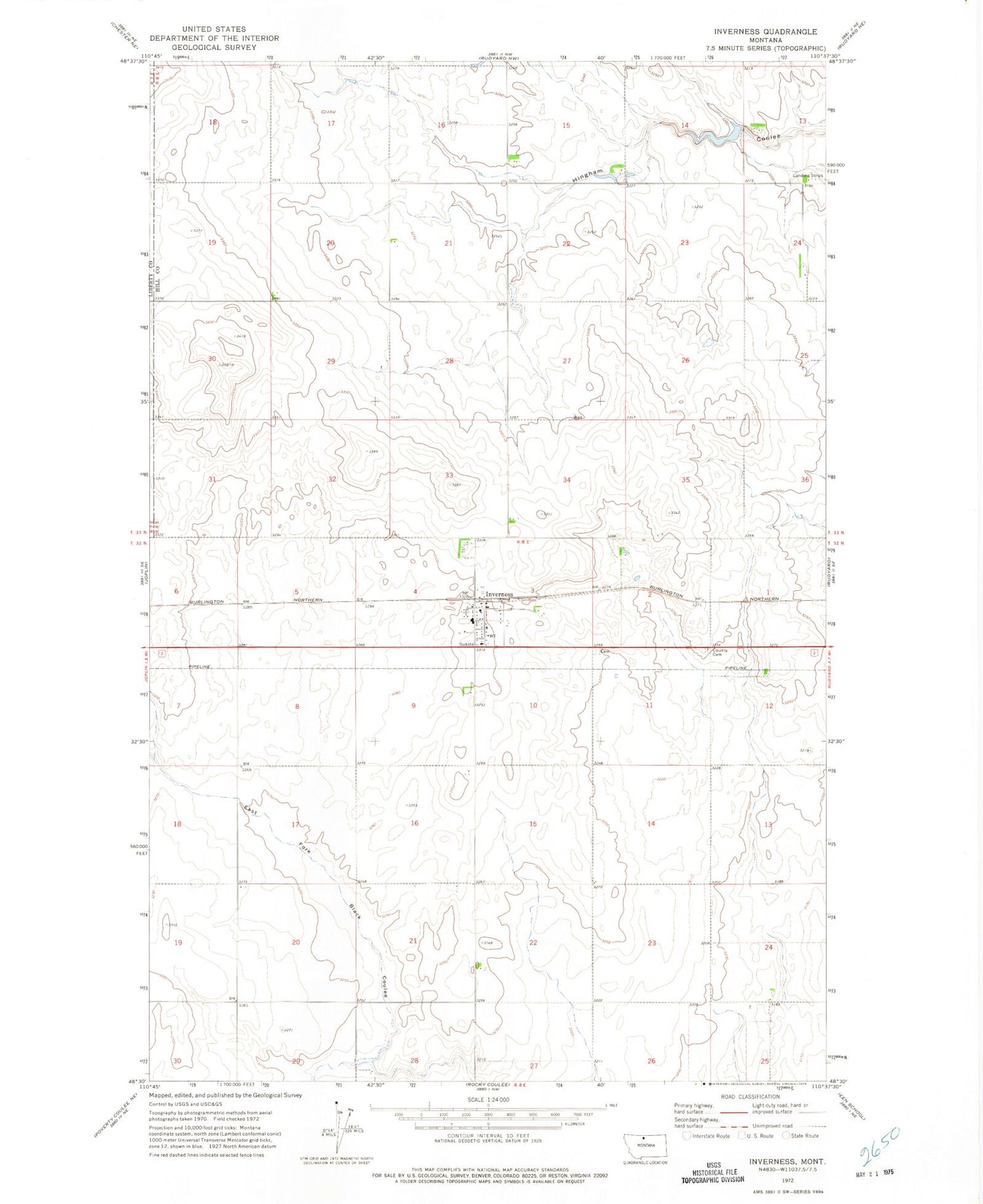
Classic USGS Inverness Montana 7.5'x7.5' Topo Map
Couldn't load pickup availability
Historical USGS topographic quad map of Inverness in the state of Montana. Map scale may vary for some years, but is generally around 1:24,000. Print size is approximately 24" x 27"
This quadrangle is in the following counties: Hill, Liberty.
The map contains contour lines, roads, rivers, towns, and lakes. Printed on high-quality waterproof paper with UV fade-resistant inks, and shipped rolled.
Contains the following named places: 32N08E03ACA_01 Well, 33N08E15DDAB01 Well, Austin, Hingham Sandy Sage Dam, Inverness, Inverness Census Designated Place, Inverness Post Office, Inverness Rural Fire Department, Inverness School, Iverness, Joplin-Inverness School, Methodist Church United, Prescott Dam, Prescott Reservoir, Sacred Heart Church


