MyTopo
Classic USGS Iona NW South Dakota 7.5'x7.5' Topo Map
Regular price
$16.95
Regular price
Sale price
$16.95
Unit price
per
Couldn't load pickup availability
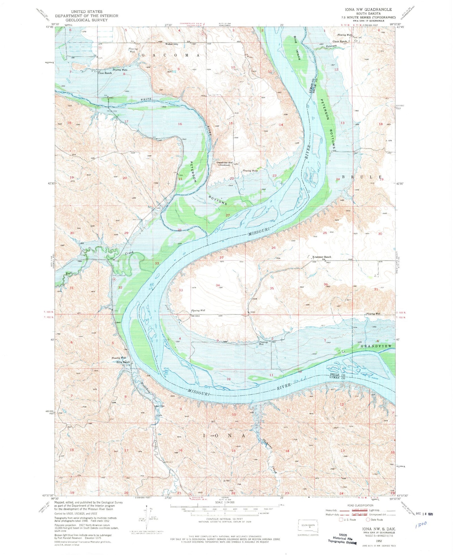
Historical USGS topographic quad map of Iona NW in the state of South Dakota. Map scale may vary for some years, but is generally around 1:24,000. Print size is approximately 24" x 27"
This quadrangle is in the following counties: Brule, Lyman.
The map contains contour lines, roads, rivers, towns, and lakes. Printed on high-quality waterproof paper with UV fade-resistant inks, and shipped rolled.
Contains the following named places: Bird Island, Brule Agency, Bull Creek, Close Ranch, Ellis Ranch, Glaus Ranch, Grandpie Head, Grandview School, Krammer Ranch, Medicine Bulls Camp, Nicholas Creek, Peterson Bottoms, Peterson Creek, Trudeaus 1794 Camp, Walker School, Waterhole Creek, White River