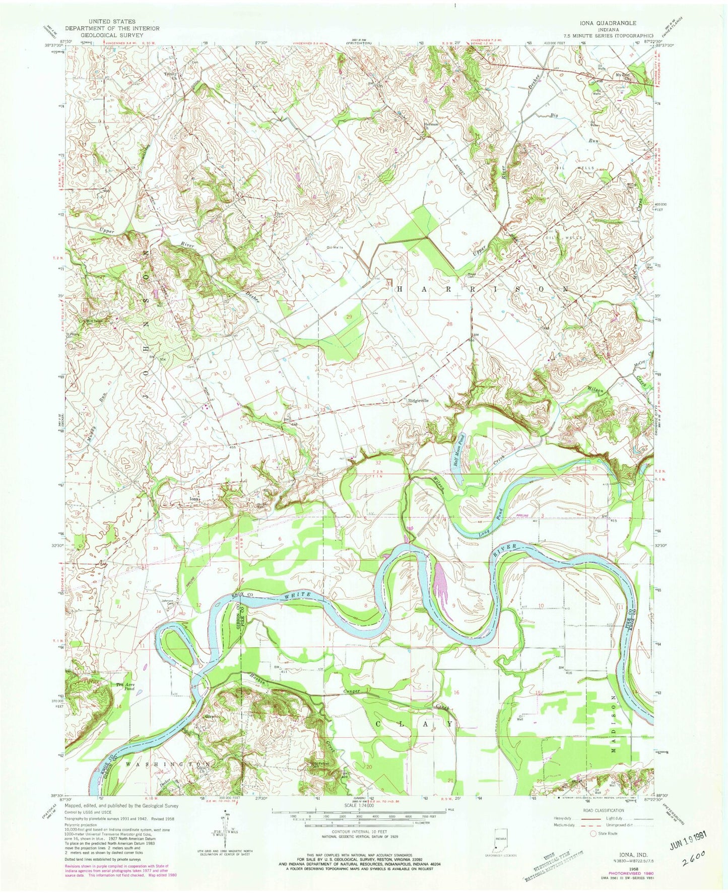
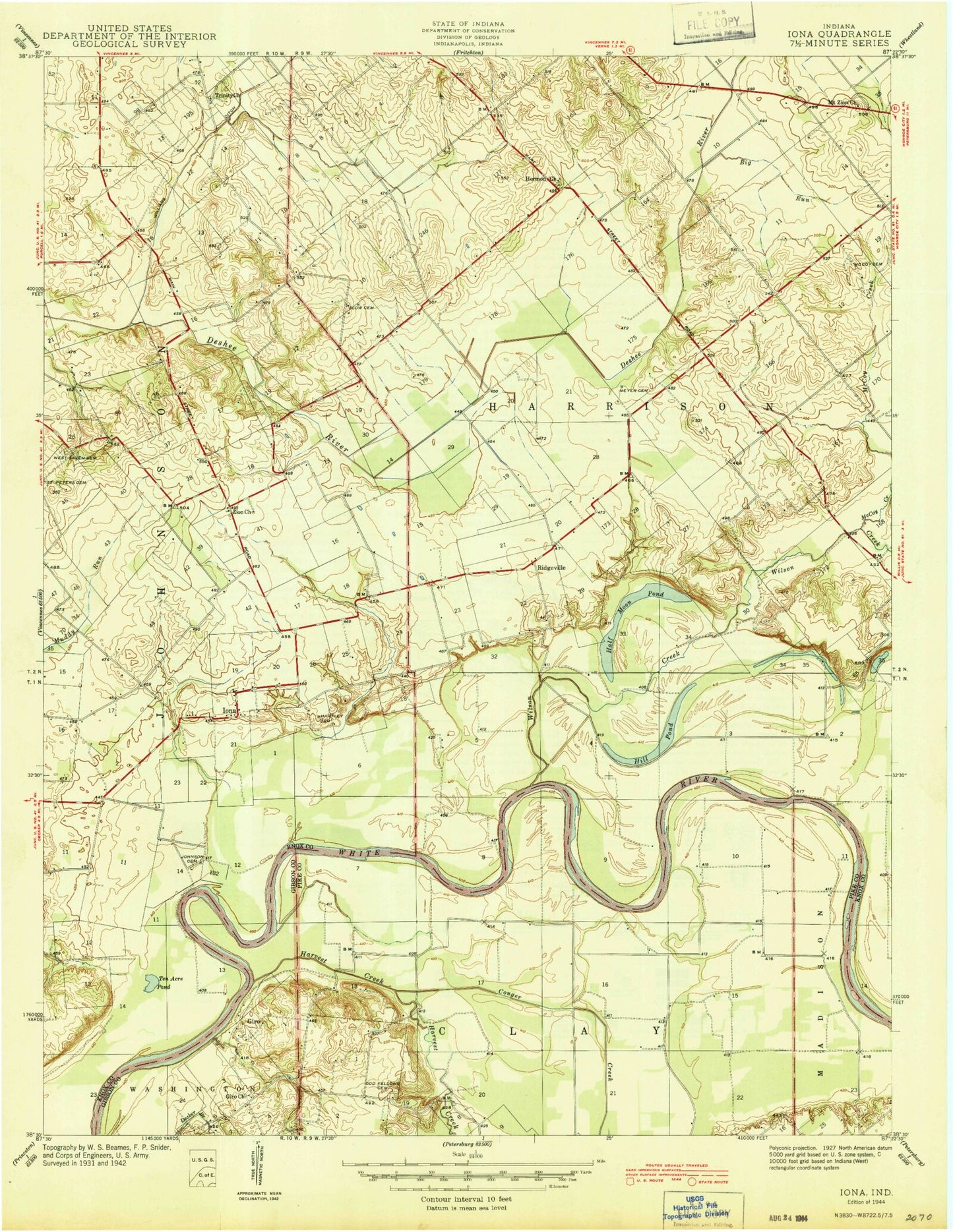
MyTopo
Classic USGS Iona Indiana 7.5'x7.5' Topo Map
Couldn't load pickup availability
Historical USGS topographic quad map of Iona in the state of Indiana. Map scale may vary for some years, but is generally around 1:24,000. Print size is approximately 24" x 27"
This quadrangle is in the following counties: Gibson, Knox, Pike.
The map contains contour lines, roads, rivers, towns, and lakes. Printed on high-quality waterproof paper with UV fade-resistant inks, and shipped rolled.
Contains the following named places: Big Run, Conger Creek, Giro, Giro Church, Half Moon Pond, Harbin Creek, Hartley Cemetery, Herman Church Cemetery, Hermon Church, Iona, Johnson Cemetery, Long Pond, McCoy Cemetery, McCoy Creek, Meyer Cemetery, Mount Zion Cemetery, Mount Zion Church, Odd Fellows Cemetery, Ridgleville, Slow Cemetery, T & T Airport, Ten Acre Pond, Trinity Church, West Salem Cemetery, Williams Ditch, Wilson Creek