MyTopo
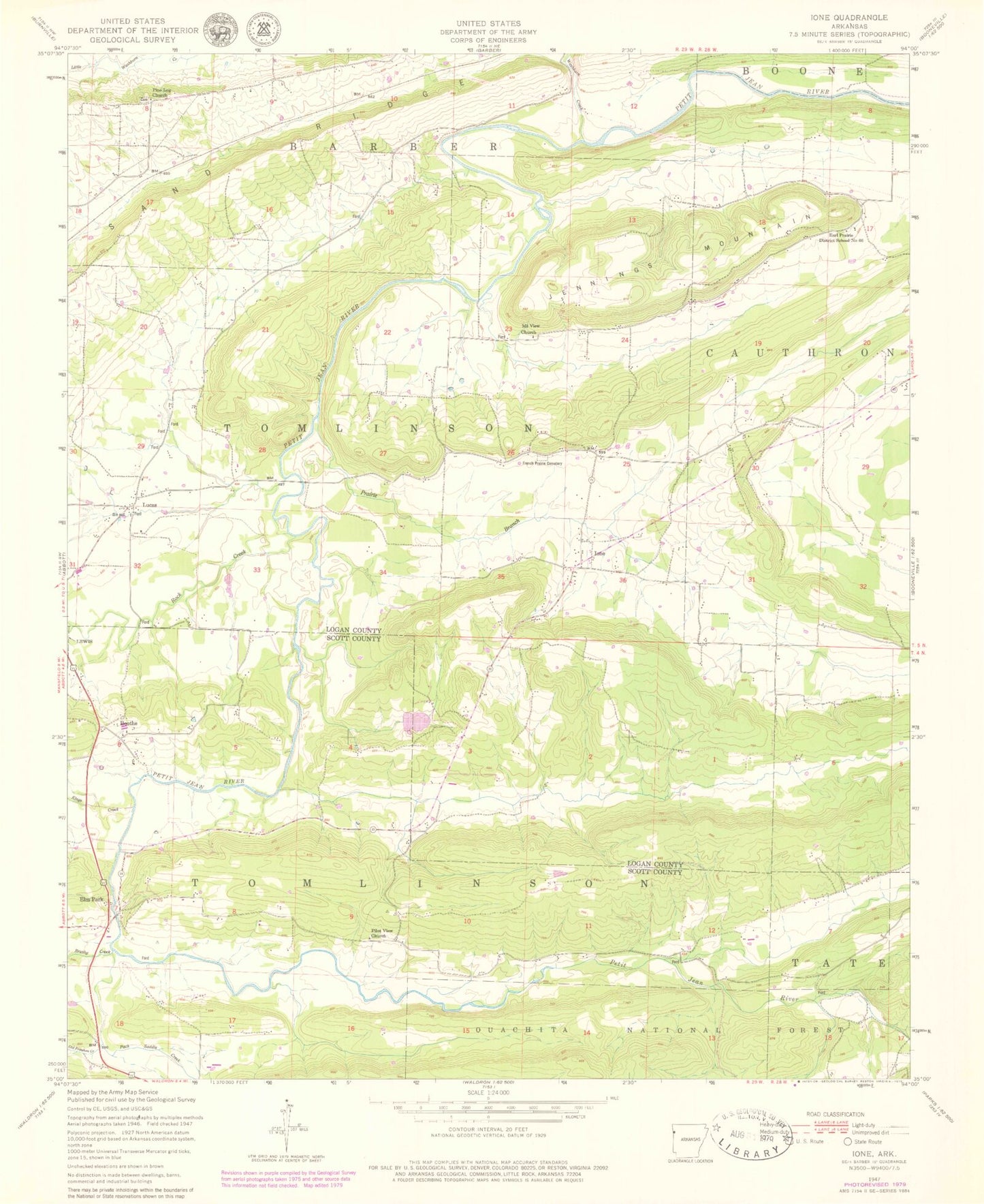
Classic USGS Ione Arkansas 7.5'x7.5' Topo Map
Couldn't load pickup availability
Historical USGS topographic quad map of Ione in the state of Arkansas. Map scale may vary for some years, but is generally around 1:24,000. Print size is approximately 24" x 27"
This quadrangle is in the following counties: Logan, Scott.
The map contains contour lines, roads, rivers, towns, and lakes. Printed on high-quality waterproof paper with UV fade-resistant inks, and shipped rolled.
Contains the following named places: Arkansas Department of Corrections Prison Farm, B J F Trotter Heirs Private Cemetery, Bloodsworth Cemetery, Blueberry Hill, Boothe, Brushy Creek, Cahinnio Camp, Cedar Creek, Cedar Grove Cemetery, Doss Cemetery, Earl Prairie District School Number 66, Elm Park, Freedom Creek, French Prairie Cemetery, Ione, Ione Baptist Church, Ione Volunteer Fire Department, Jennings Mountain, Kings Creek, Lake Lakima Dam, Lake Takima, Little Cauthron Cemetery, Lucas, Lucas Cumberland Presbyterian Church, Mount View Church, Old Freedom Creek, Packsaddle Creek, Pilot View Church, Pine Log Church, Prairie Branch, Prairie Creek, Rock Creek, Rogers Camp, Sand Ridge, Thompson Cemetery, Tomlinson Cemetery, Township of Barber, Township of Tomlinson, Washburn Creek, Wiley Cemetery, Worth James Ranch Airport


