MyTopo
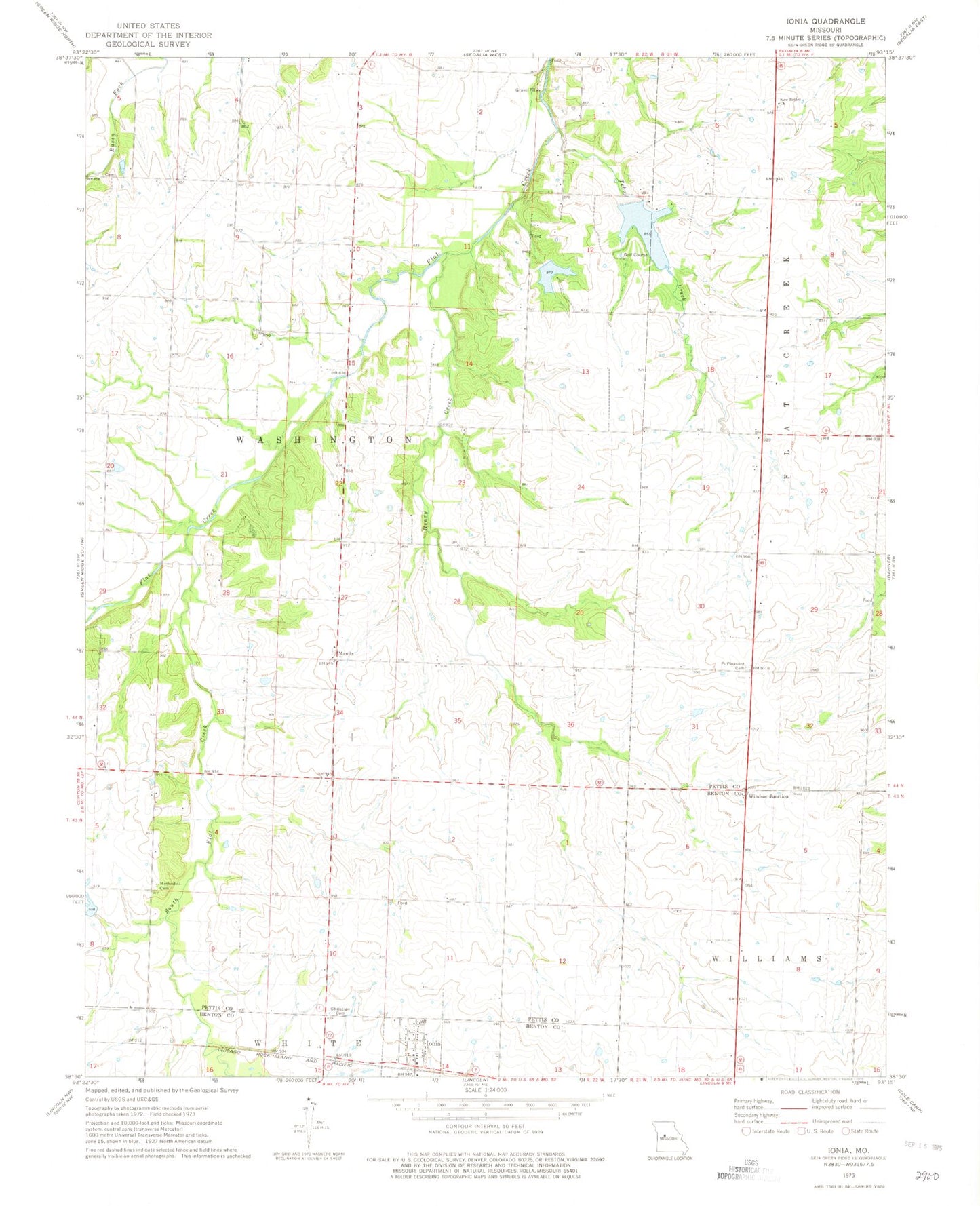
Classic USGS Ionia Missouri 7.5'x7.5' Topo Map
Couldn't load pickup availability
Historical USGS topographic quad map of Ionia in the state of Missouri. Map scale may vary for some years, but is generally around 1:24,000. Print size is approximately 24" x 27"
This quadrangle is in the following counties: Benton, Pettis.
The map contains contour lines, roads, rivers, towns, and lakes. Printed on high-quality waterproof paper with UV fade-resistant inks, and shipped rolled.
Contains the following named places: Center View School, Christian Cemetery, Cottage School, Flat Creek Methodist Cemetery, Henry Creek, Ionia, Ionia Post Office, Knight Lake Dam, Lake Tebo, Manila, New Bethel Cemetery, New Bethel United Methodist Church, Number 130 Reservoir, Pettis County Fire District 1 Station 5, Pleasant View School, Point Pleasant Cemetery, Prairie Flower School, South Flat Creek, South Side School, Tebo Creek, Tebo Lake Dam, Town of Ionia, Township of Washington, Wesner Lake Dam, Windsor Junction, ZIP Code: 65335