
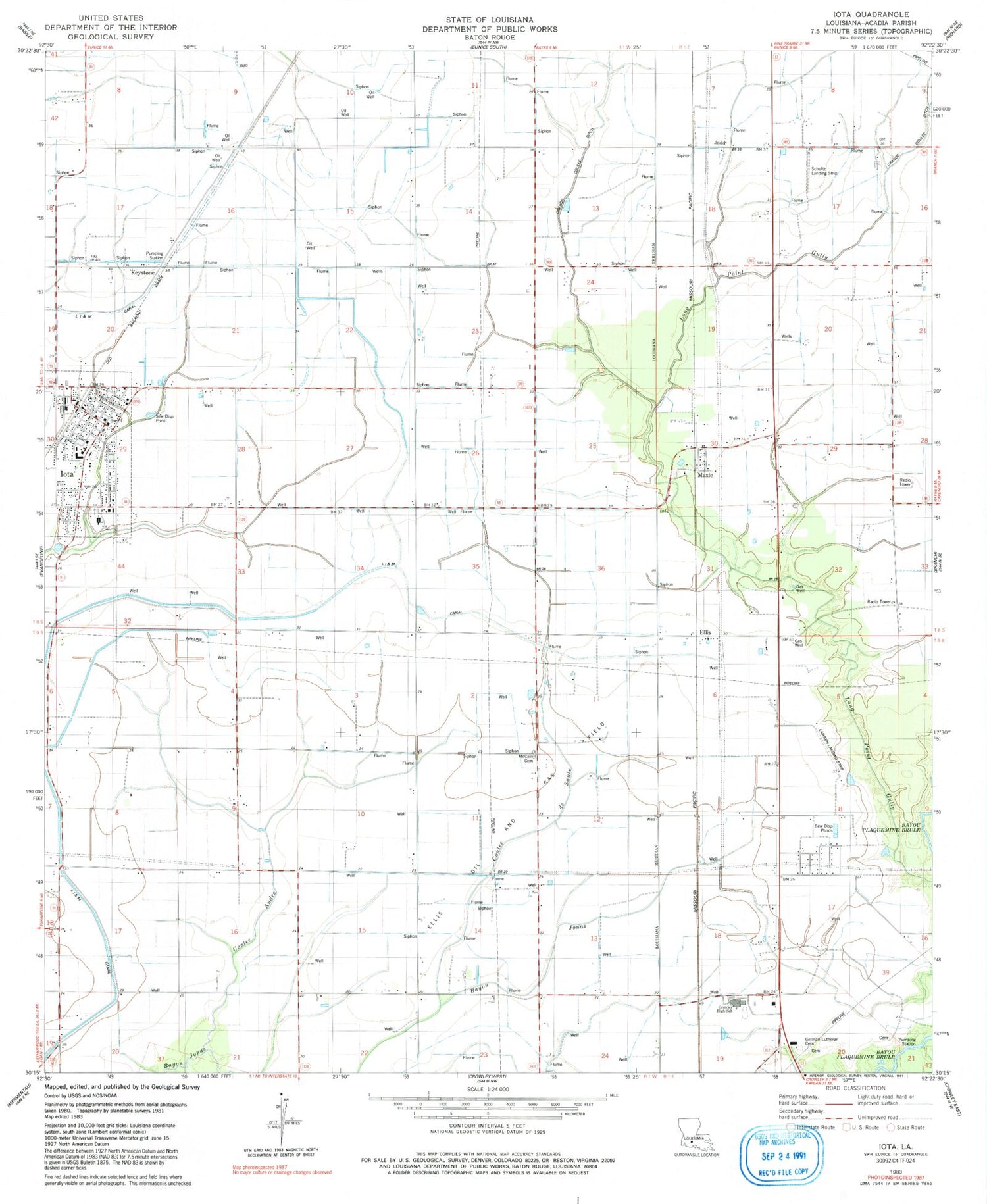
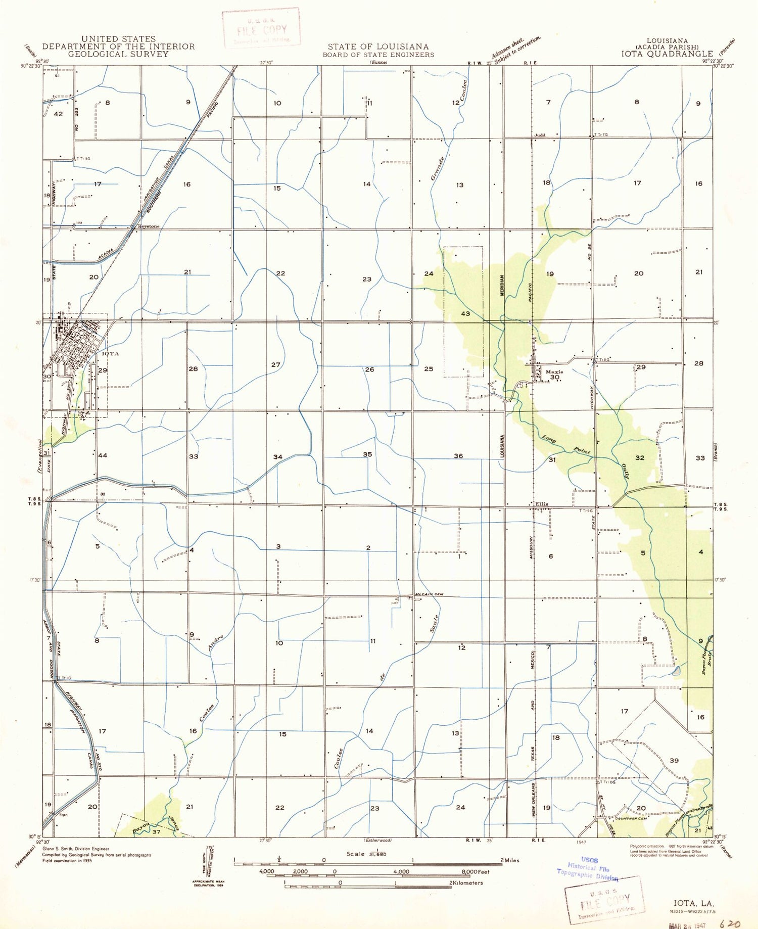
MyTopo
Classic USGS Iota Louisiana 7.5'x7.5' Topo Map
Couldn't load pickup availability
Historical USGS topographic quad map of Iota in the state of Louisiana. Map scale may vary for some years, but is generally around 1:24,000. Print size is approximately 24" x 27"
This quadrangle is in the following counties: Acadia.
The map contains contour lines, roads, rivers, towns, and lakes. Printed on high-quality waterproof paper with UV fade-resistant inks, and shipped rolled.
Contains the following named places: Acadia Parish, Acadia Parish Library Iota Branch, Acadia Parish Police Jury, Andrepont School, Coulee Andre, Coulee de Saule, Crowley High School, Daigle School, Echo Post Office, Ellis, Ellis Church of the Nazarene, Ellis Tabernacle, German Lutheran Cemetery, Grand Coulee Oil and Gas Field, Hundley's Agriculture Museum, Iota, Iota Fire Department, Iota High School, Iota Middle School, Iota Police Department, Iota Volunteer Fire Department, Judd, Keystone, KLFY-TV (Lafayette), Lawson Field, Llis Oil and Gas Field, Maxie, Maxie Church, Maxie Gospel Tabernacle, Maxie Oil and Gas Field, Maxie School, Moreland School, Parish Governing Authority District 16, Reed Airfield, Saint Francis School, Saint John Lutheran Church, Saint Joseph Church, Schultz Landing Strip, Town of Iota, Walsh Airport


