MyTopo
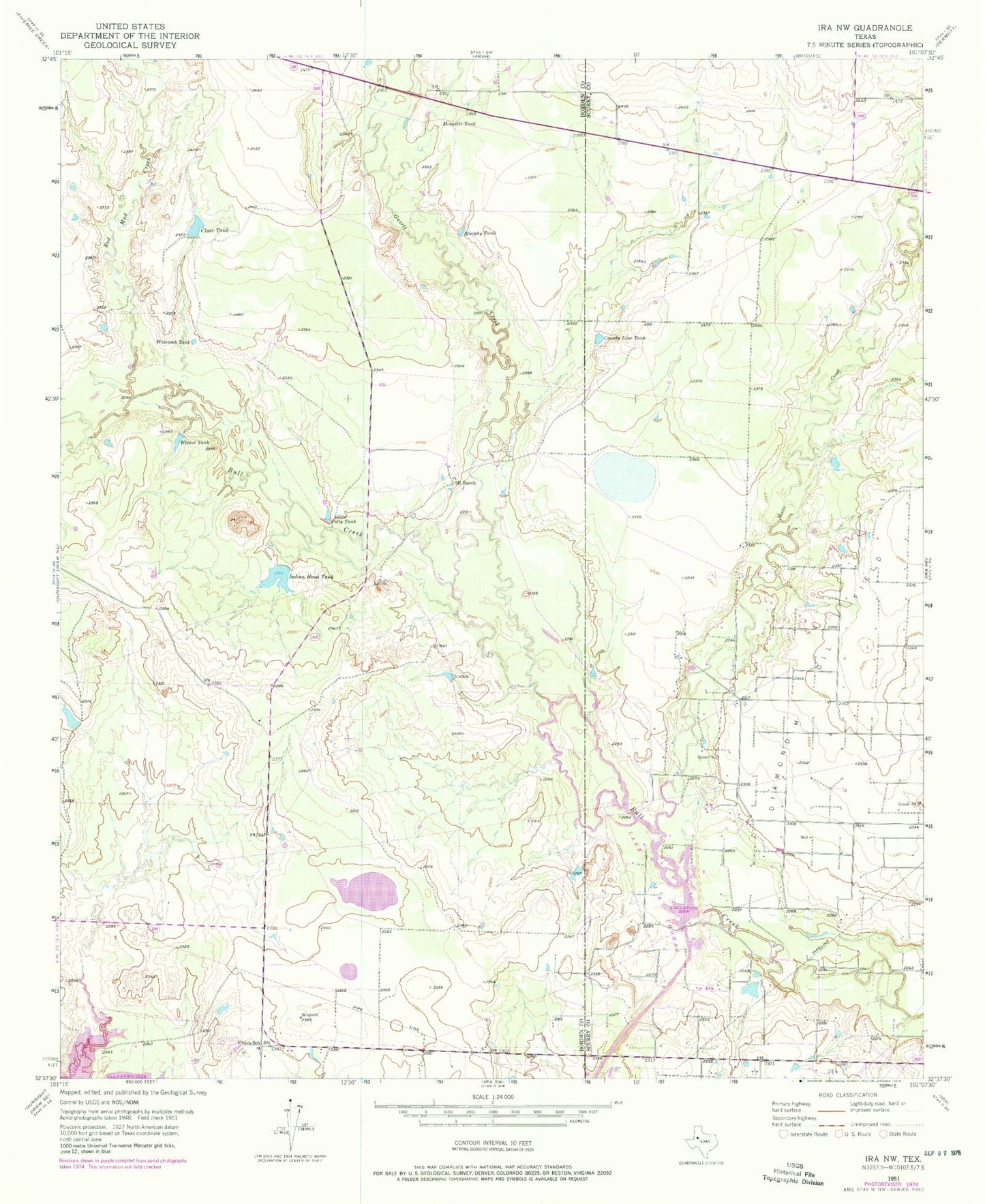
Classic USGS Ira NW Texas 7.5'x7.5' Topo Map
Regular price
$16.95
Regular price
Sale price
$16.95
Unit price
per
Couldn't load pickup availability
Historical USGS topographic quad map of Ira NW in the state of Texas. Map scale may vary for some years, but is generally around 1:24,000. Print size is approximately 24" x 27"
This quadrangle is in the following counties: Borden, Scurry.
The map contains contour lines, roads, rivers, towns, and lakes. Printed on high-quality waterproof paper with UV fade-resistant inks, and shipped rolled.
Contains the following named places: Clear Tank, County Line Tank, Divesion Lake, Gavett Creek, Indian Head Tank, Indian Head Tank Dam, Mesquite Tank, Mooar Creek, Murphy Tank, Nine R Ranch, Polly Tank, Red Mud Creek, Union School, Wascomb Tank, Wicker Tank