
MyTopo
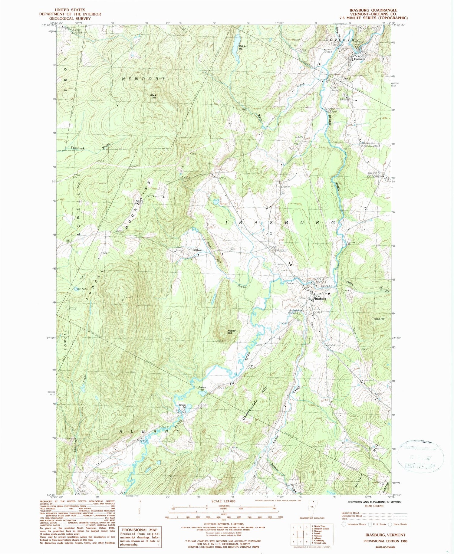
Classic USGS Irasburg Vermont 7.5'x7.5' Topo Map
Couldn't load pickup availability
Historical USGS topographic quad map of Irasburg in the state of Vermont. Typical map scale is 1:24,000, but may vary for certain years, if available. Print size: 24" x 27"
This quadrangle is in the following counties: Orleans.
The map contains contour lines, roads, rivers, towns, and lakes. Printed on high-quality waterproof paper with UV fade-resistant inks, and shipped rolled.
Contains the following named places: Allen Brook, Allen Hill, Beaver Brook, Black Hill, Brighton Brook, Brighton School, Brown School, Burton Hill, Chamberlain Hill, Coventry, Griggs Pond, Irasburg, Kidder Pond, Lords Creek, Potters Pond, Round Hill, Stony Brook, Stony Hill, Ware Brook, Town of Irasburg, Chamberlain Hill Cemetery, Coventry Post Office, Coventry Village School, Federated Protestant Church, Grace Brethren Church, Hovey Cemetery, Irasburg Cemetery, Irasburg Post Office, Irasburg Square, Irasburg Village School, Leach Public Library, Orne Covered Bridge, Saint John Vianny Cemetery, United Church of Irasburg, Village Cemetery, Irasburg Fire Department, Coventry Census Designated Place, Irasburg Census Designated Place


