MyTopo
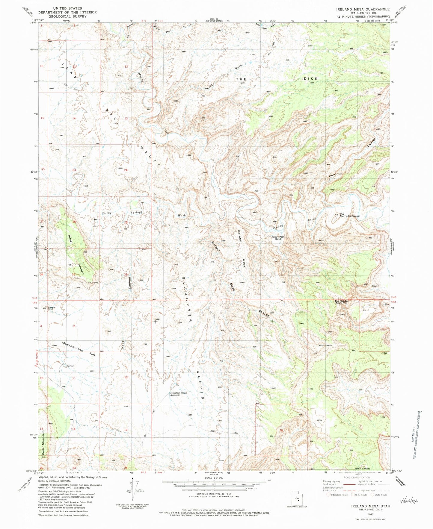
Classic USGS Ireland Mesa Utah 7.5'x7.5' Topo Map
Couldn't load pickup availability
Historical USGS topographic quad map of Ireland Mesa in the state of Utah. Map scale may vary for some years, but is generally around 1:24,000. Print size is approximately 24" x 27"
This quadrangle is in the following counties: Emery.
The map contains contour lines, roads, rivers, towns, and lakes. Printed on high-quality waterproof paper with UV fade-resistant inks, and shipped rolled.
Contains the following named places: Cat Canyon, Dizzy Trail Canyon, Hebe Canyon, Hebes Mountain, Ireland Mesa, Ireland Mesa Canyon, Lone Tree Wedge, Pitchforth Spring, Poncho Wash, Poor Canyon, Prickly Pear Bend, Slaughter Slopes, Slaughter Slopes Reservoir, The Dike, The Hondu, The Merry-Go-Round, The Wedge, Willow Springs Wash