
MyTopo
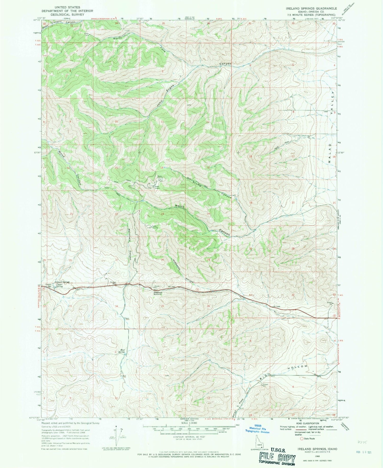
Classic USGS Ireland Springs Idaho 7.5'x7.5' Topo Map
Regular price
$16.95
Regular price
Sale price
$16.95
Unit price
per
Couldn't load pickup availability
Historical USGS topographic quad map of Ireland Springs in the state of Idaho. Map scale may vary for some years, but is generally around 1:24,000. Print size is approximately 24" x 27"
This quadrangle is in the following counties: Oneida.
The map contains contour lines, roads, rivers, towns, and lakes. Printed on high-quality waterproof paper with UV fade-resistant inks, and shipped rolled.
Contains the following named places: Big Hollow, Hideaway Hollow, Holbrook Summit, Ireland Springs, Lower Spring, Mansfield Canyon, Mud Spring, North Canyon, North Fork John Evans Canyon, Pleasantview Hills, Stump Canyon, Upper Spring, ZIP Code: 83252


