MyTopo
Classic USGS Ireteba Peaks Nevada 7.5'x7.5' Topo Map
Regular price
$16.95
Regular price
Sale price
$16.95
Unit price
per
Couldn't load pickup availability
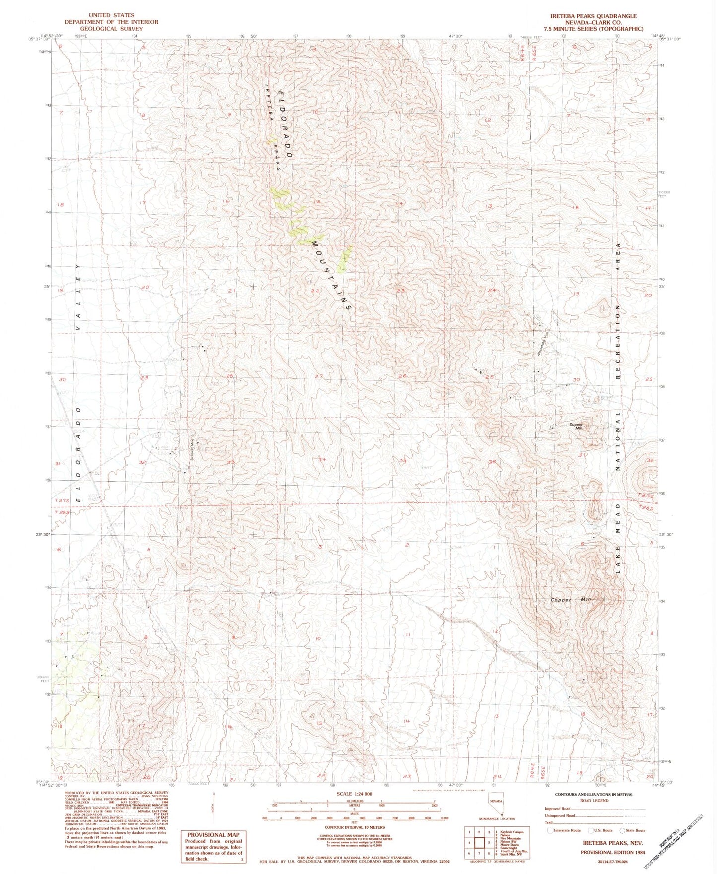
Historical USGS topographic quad map of Ireteba Peaks in the state of Nevada. Map scale may vary for some years, but is generally around 1:24,000. Print size is approximately 24" x 27"
This quadrangle is in the following counties: Clark.
The map contains contour lines, roads, rivers, towns, and lakes. Printed on high-quality waterproof paper with UV fade-resistant inks, and shipped rolled.
Contains the following named places: Camp Dupont, Camp Dupont Mine, Copper Camp, Copper Mountain, Dupont Mountain, Francis Mining Claim Spring, Grasshopper Spring, Ireteba Peaks, Ireteba Peaks Wilderness, Jonah Spring, Rockefeller Mine, Saint Louis Mine, Tip Top Spring, Wallace, Wesselhoff Spring