MyTopo
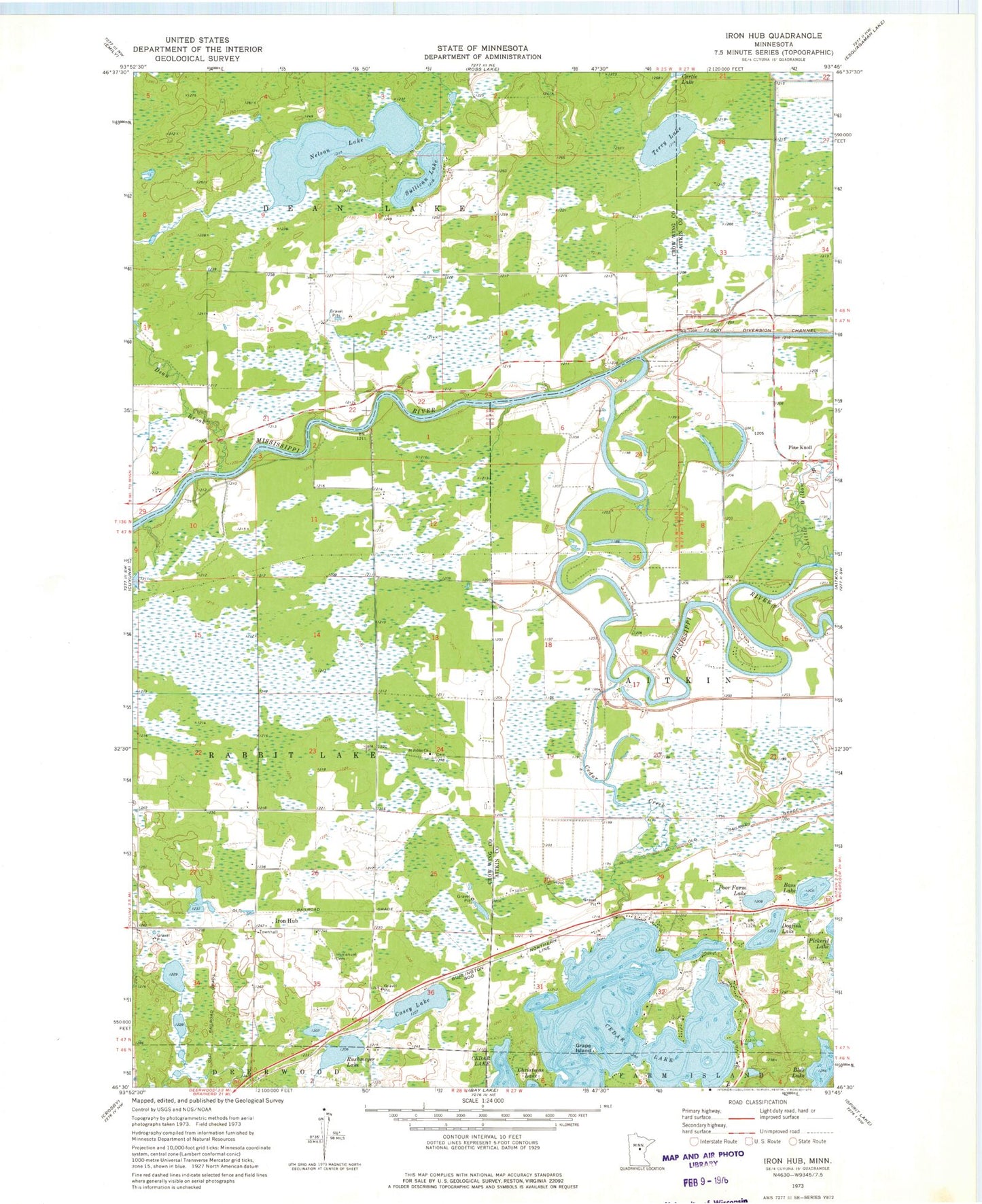
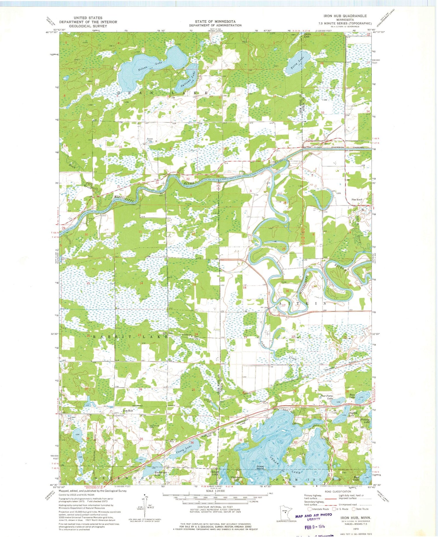
Classic USGS Iron Hub Minnesota 7.5'x7.5' Topo Map
Couldn't load pickup availability
Historical USGS topographic quad map of Iron Hub in the state of Minnesota. Map scale may vary for some years, but is generally around 1:24,000. Print size is approximately 24" x 27"
This quadrangle is in the following counties: Aitkin, Crow Wing.
The map contains contour lines, roads, rivers, towns, and lakes. Printed on high-quality waterproof paper with UV fade-resistant inks, and shipped rolled.
Contains the following named places: Bass Lake, Blue Lake, Carrol Cemetery, Casey Lake, Cedar Creek, Cedar Lake, Dean Brook, Dogfish Lake, Edgewater Resort and RV Park, Grape Island, Immanuel Cemetery, Immanuel Lutheran Church, Iron Hub, Iron Hub Post Office, KEZZ-FM (Aitkin), Little Willow River, Nelson Lake, Pine Knoll, Pine Knoll Cemetery, Pineknoll Post Office, Poor Farm Lake, Rushmeyer Lake, Saint Johns Church, Saint Johns Lutheran Cemetery, Sullivan Lake, Terry Lake, Township of Aitkin, Township of Dean Lake, Township of Rabbit Lake, Unorganized Territory of Second Assessment


