
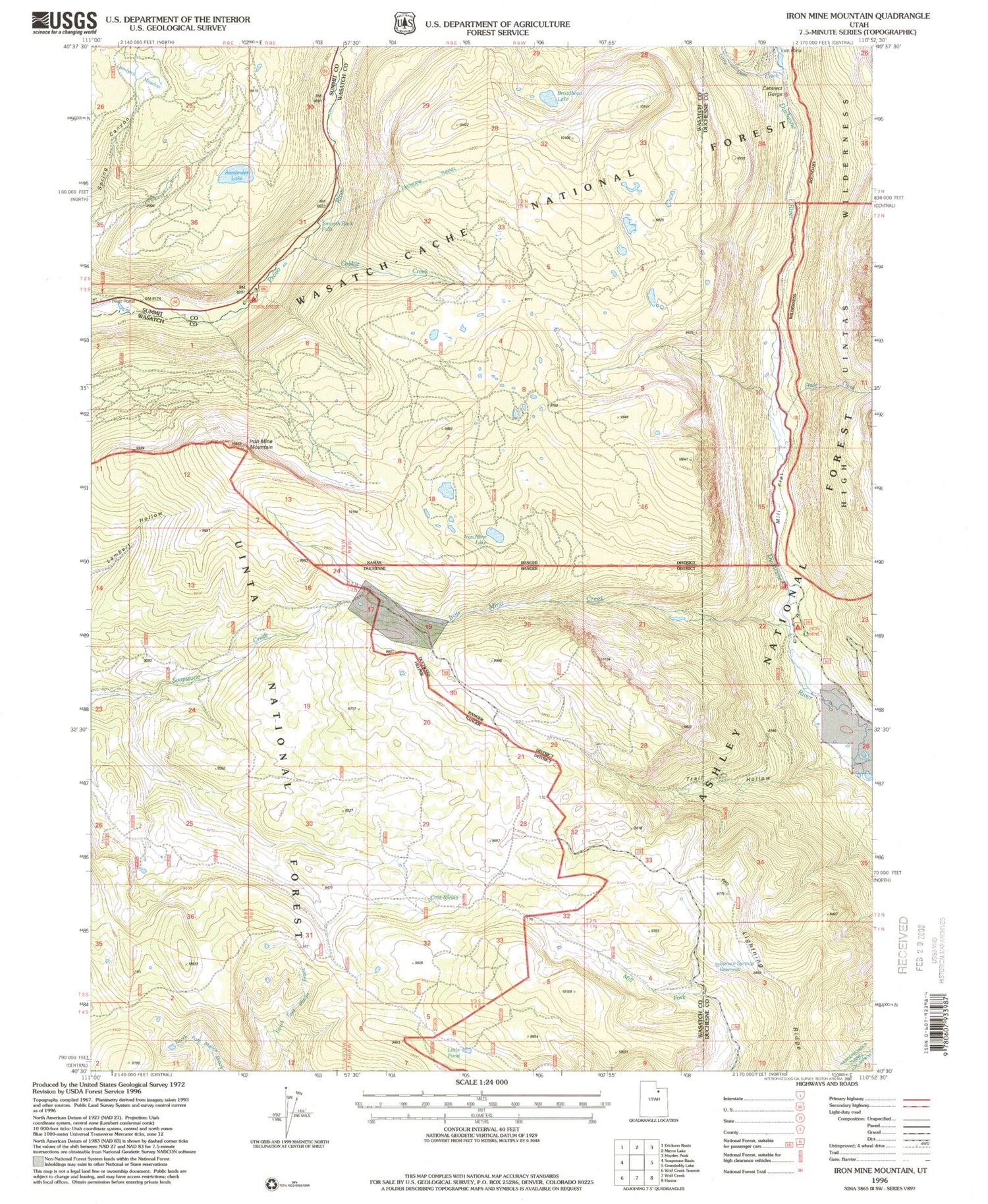
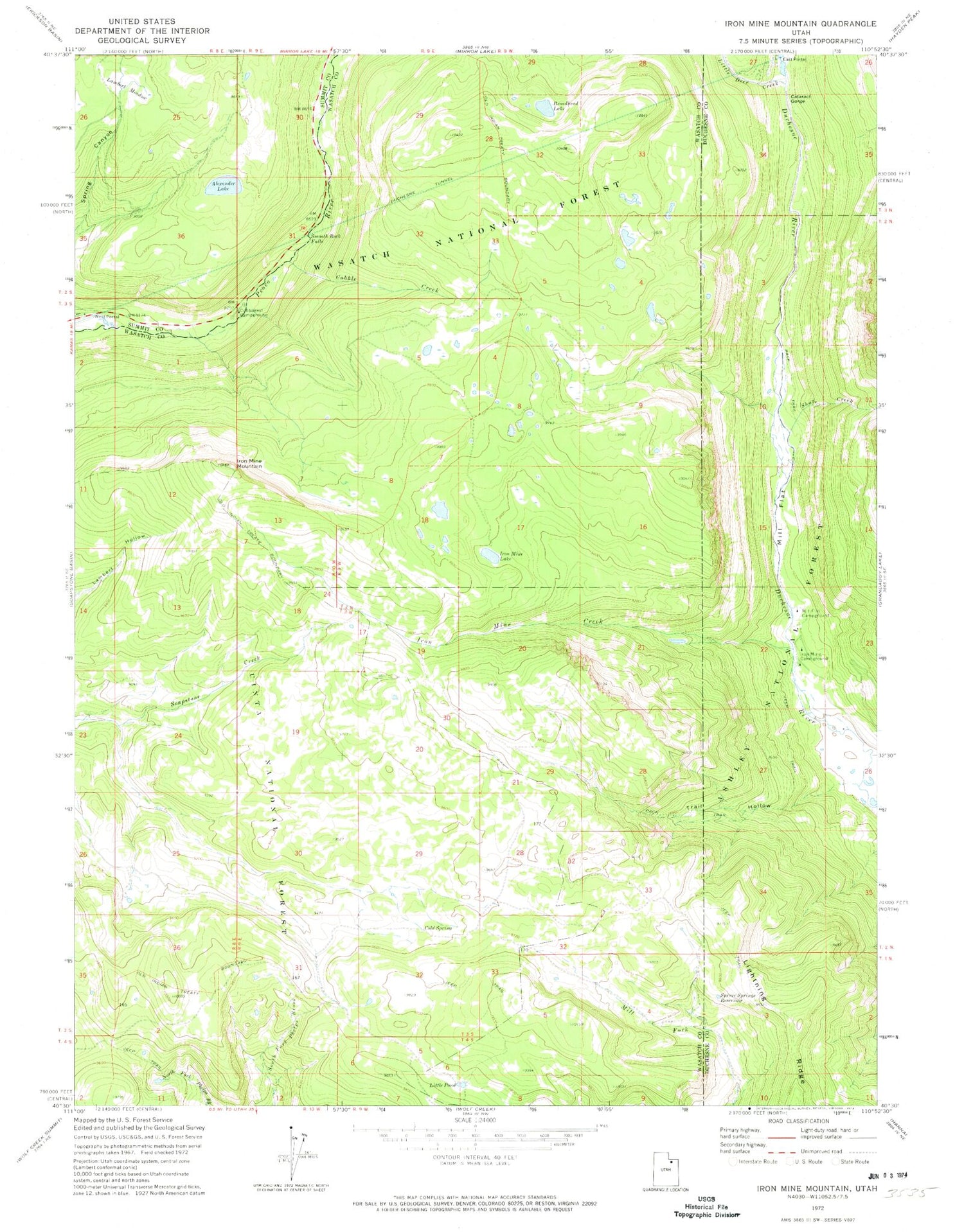
MyTopo
Classic USGS Iron Mine Mountain Utah 7.5'x7.5' Topo Map
Couldn't load pickup availability
Historical USGS topographic quad map of Iron Mine Mountain in the state of Utah. Typical map scale is 1:24,000, but may vary for certain years, if available. Print size: 24" x 27"
This quadrangle is in the following counties: Duchesne, Summit, Wasatch.
The map contains contour lines, roads, rivers, towns, and lakes. Printed on high-quality waterproof paper with UV fade-resistant inks, and shipped rolled.
Contains the following named places: Alexander Lake, Broadhead Lake, Cataract Gorge, Cobble Creek, Cold Spring, Duchesne Tunnel, East Portal, Iron Mine Creek, Iron Mine Lake, Iron Mine Mountain, Lambert Meadow, Little Pond, Mill Flat, Shale Creek, Smooth Rock Falls, Spruce Springs Reservoir, Trail Hollow, West Portal, Cobblerest Campground, Iron Mine Campground, Mill Flat Campground, Little Deer Creek, Defas Dude Ranch, Hades Recreation Site, Hades Rhoades Tunnel, Beaver Creek, Duchesne Monument, East Portal Duchesne Tunnel


