MyTopo
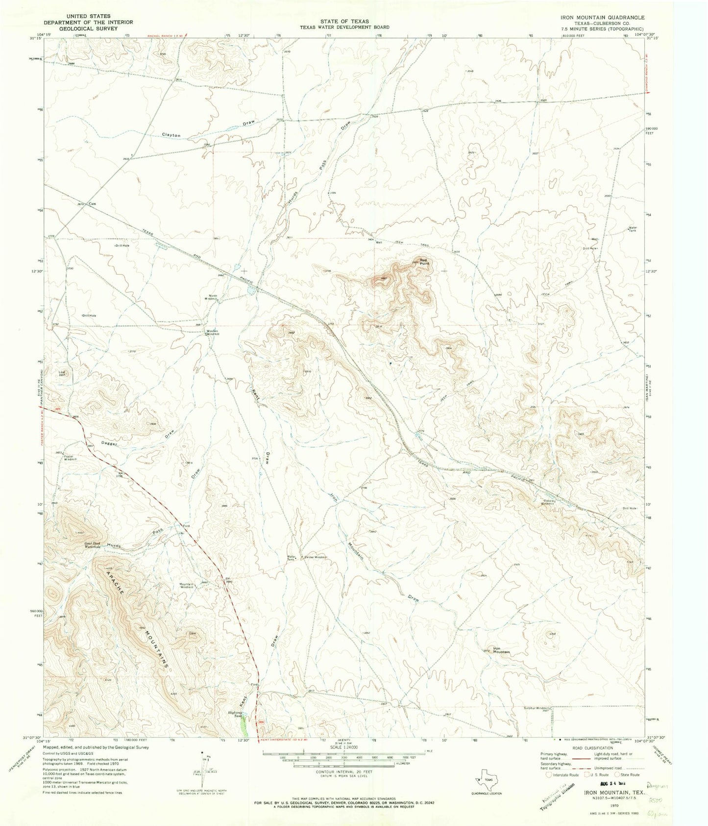
Classic USGS Iron Mountain Texas 7.5'x7.5' Topo Map
Regular price
$16.95
Regular price
Sale price
$16.95
Unit price
per
Couldn't load pickup availability
Historical USGS topographic quad map of Iron Mountain in the state of Texas. Map scale may vary for some years, but is generally around 1:24,000. Print size is approximately 24" x 27"
This quadrangle is in the following counties: Culberson.
The map contains contour lines, roads, rivers, towns, and lakes. Printed on high-quality waterproof paper with UV fade-resistant inks, and shipped rolled.
Contains the following named places: Cam, Center Windmill, Clayton Draw, Dagger Draw, Foster Windmill, Goat Shed Waterhole, Highway Tank, Iron Mountain, Iron Mountain Draw, Kent Draw, Mountain Windmill, North Windmill, Pistola Windmill, Red Point, Sulphur Windmill, Wooden Windmill