MyTopo
Classic USGS Iron Post Buttes SE South Dakota 7.5'x7.5' Topo Map
Couldn't load pickup availability
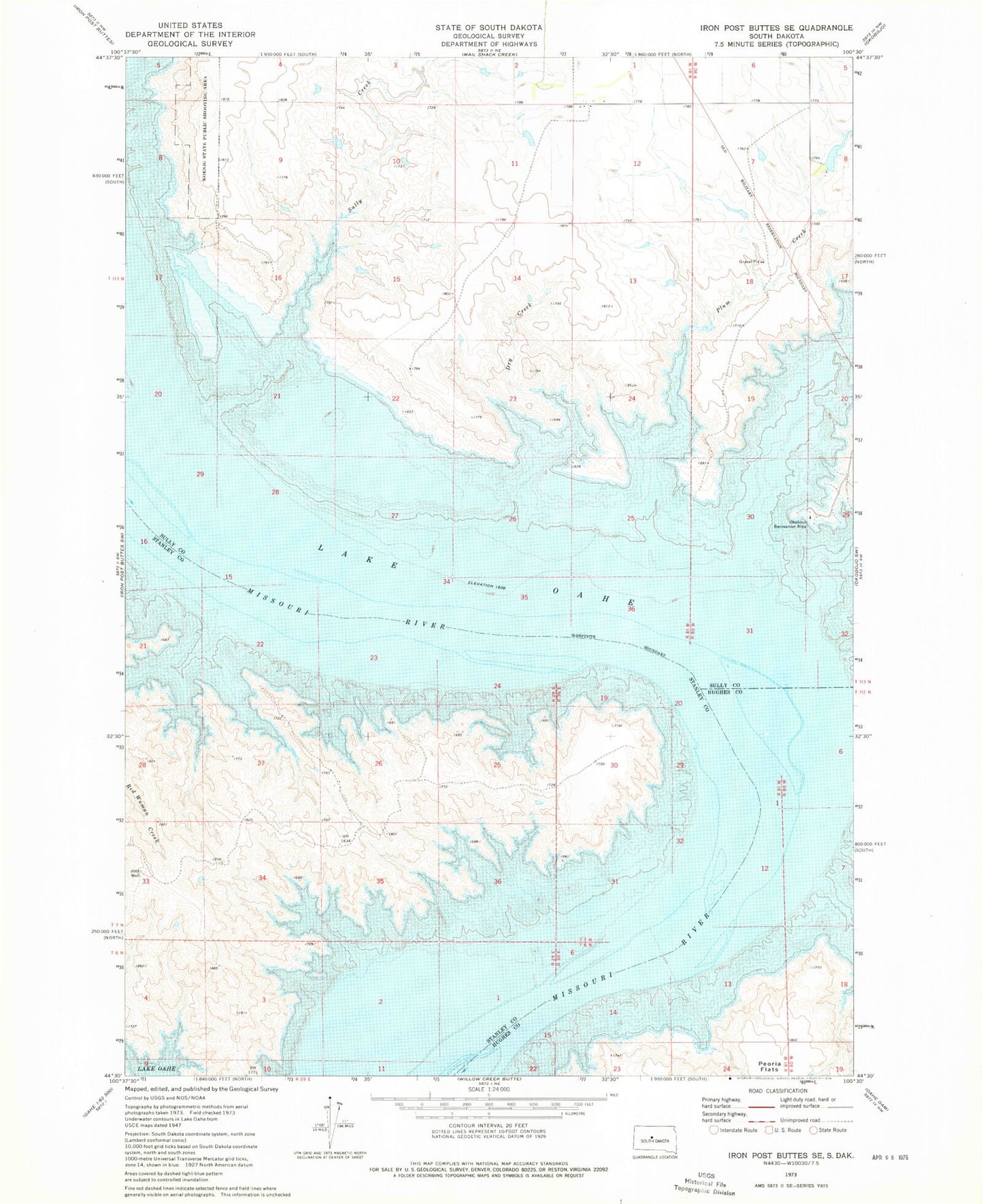
Historical USGS topographic quad map of Iron Post Buttes SE in the state of South Dakota. Map scale may vary for some years, but is generally around 1:24,000. Print size is approximately 24" x 27"
This quadrangle is in the following counties: Hughes, Stanley, Sully.
The map contains contour lines, roads, rivers, towns, and lakes. Printed on high-quality waterproof paper with UV fade-resistant inks, and shipped rolled.
Contains the following named places: Dry Creek, Fielder Bottom, Fielder Post Office, Fort Sully, Koenig State Public Shooting Area, Lower Sully Landing, Oko Bojou Islands, Okobojo Creek, Okobojo Recreation Area, Plum Creek, River Bottom School Number 50, Sonnenschein Number 2 Dam, Sully Creek, Target Flat, Telegraph Flat, Township of Lewellyn Park, Zimmermans Ranch