MyTopo
Classic USGS Iron Post Buttes South Dakota 7.5'x7.5' Topo Map
Couldn't load pickup availability
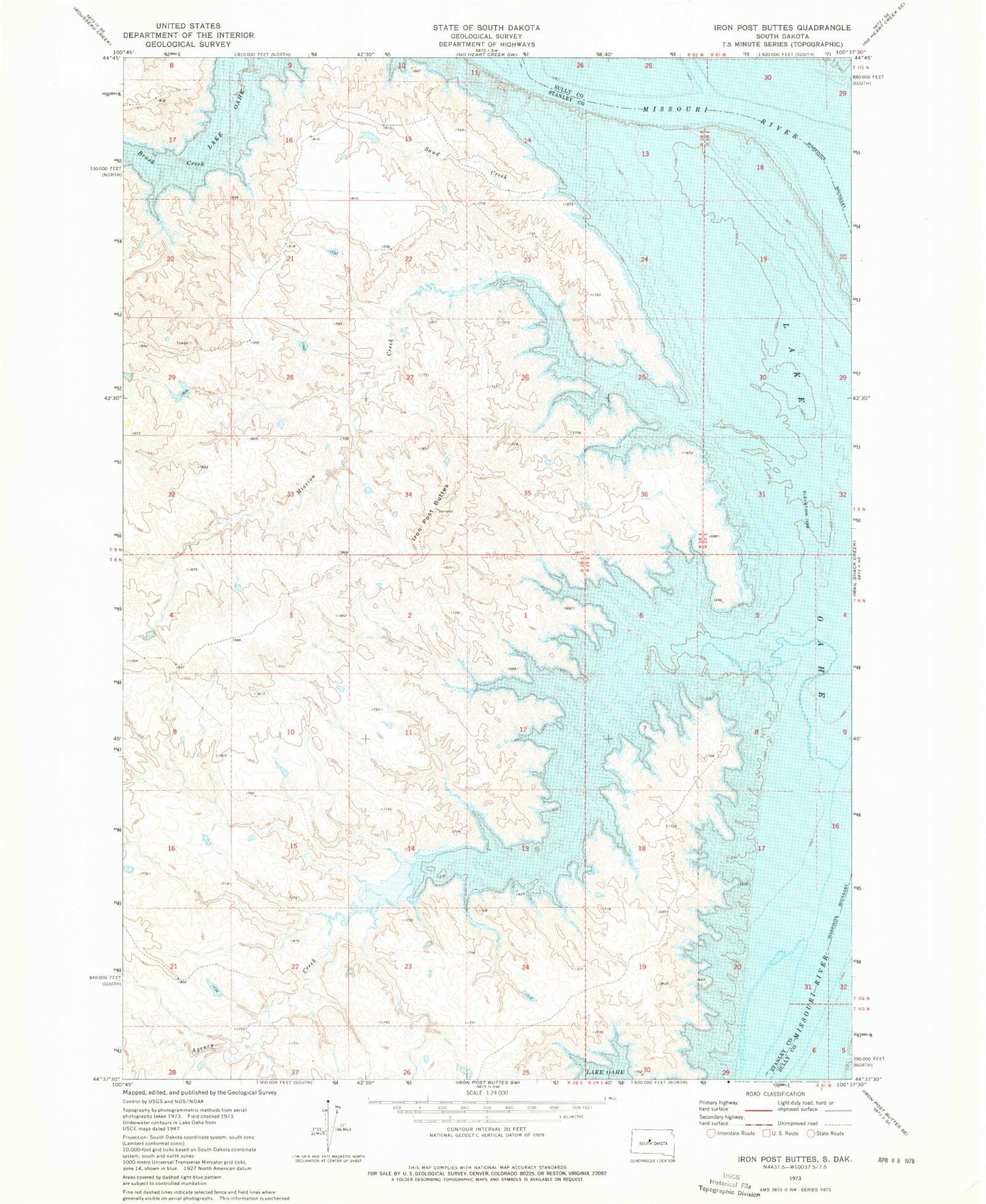
Historical USGS topographic quad map of Iron Post Buttes in the state of South Dakota. Map scale may vary for some years, but is generally around 1:24,000. Print size is approximately 24" x 27"
This quadrangle is in the following counties: Stanley, Sully.
The map contains contour lines, roads, rivers, towns, and lakes. Printed on high-quality waterproof paper with UV fade-resistant inks, and shipped rolled.
Contains the following named places: Agency Creek, Cheyenne River Agencies I and II, Cheyenne River Post II, Cooper Ranch, Episcopal Boys School, Fort Bennett, Graham Ranch, Iron Post Buttes, J E Sheehan Estate Number 3 Dam, Little Bend, Mission Creek, Saint Johns Mission, Sand Creek, Walter Thompson Dam, Whiskey Island