MyTopo
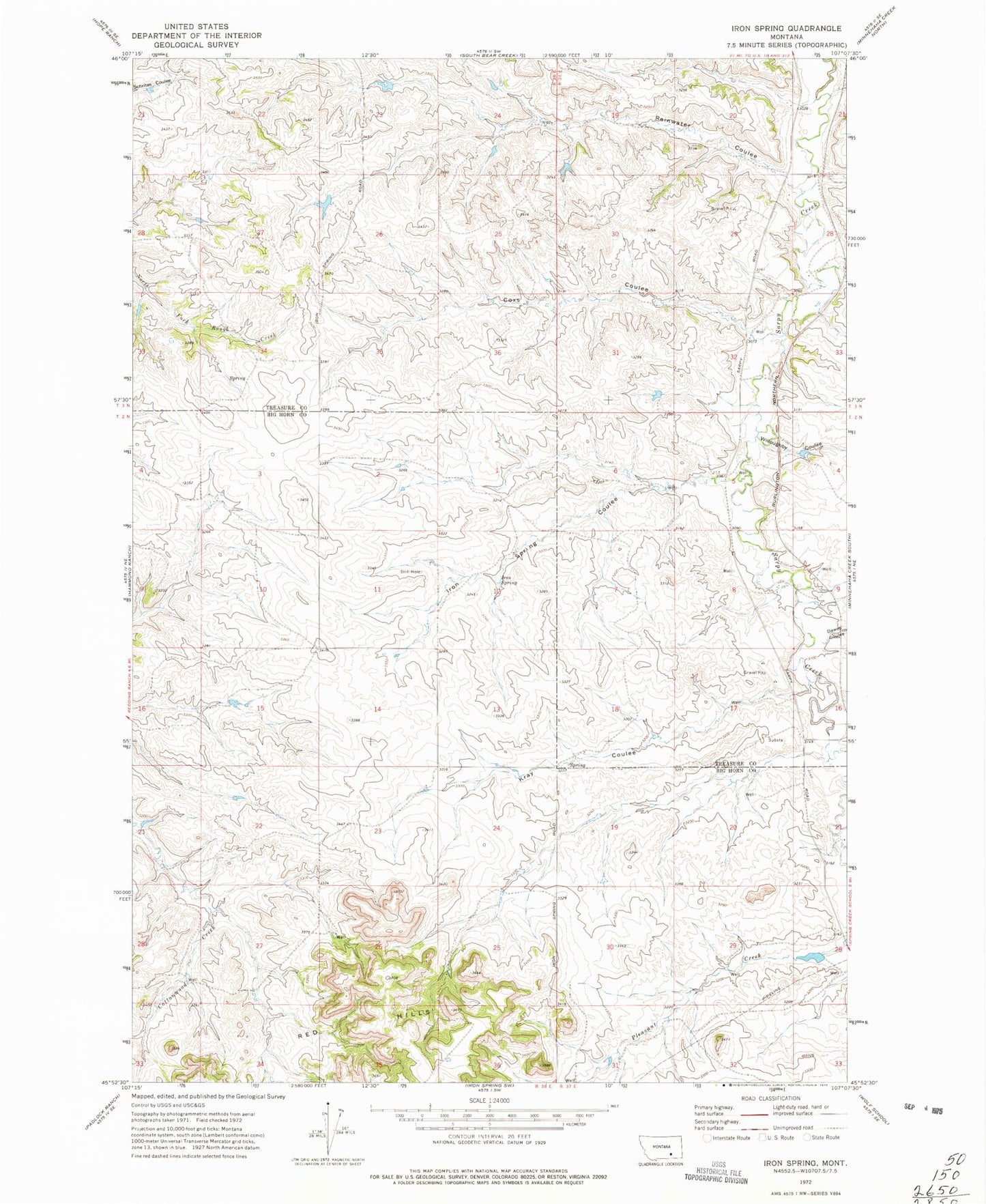
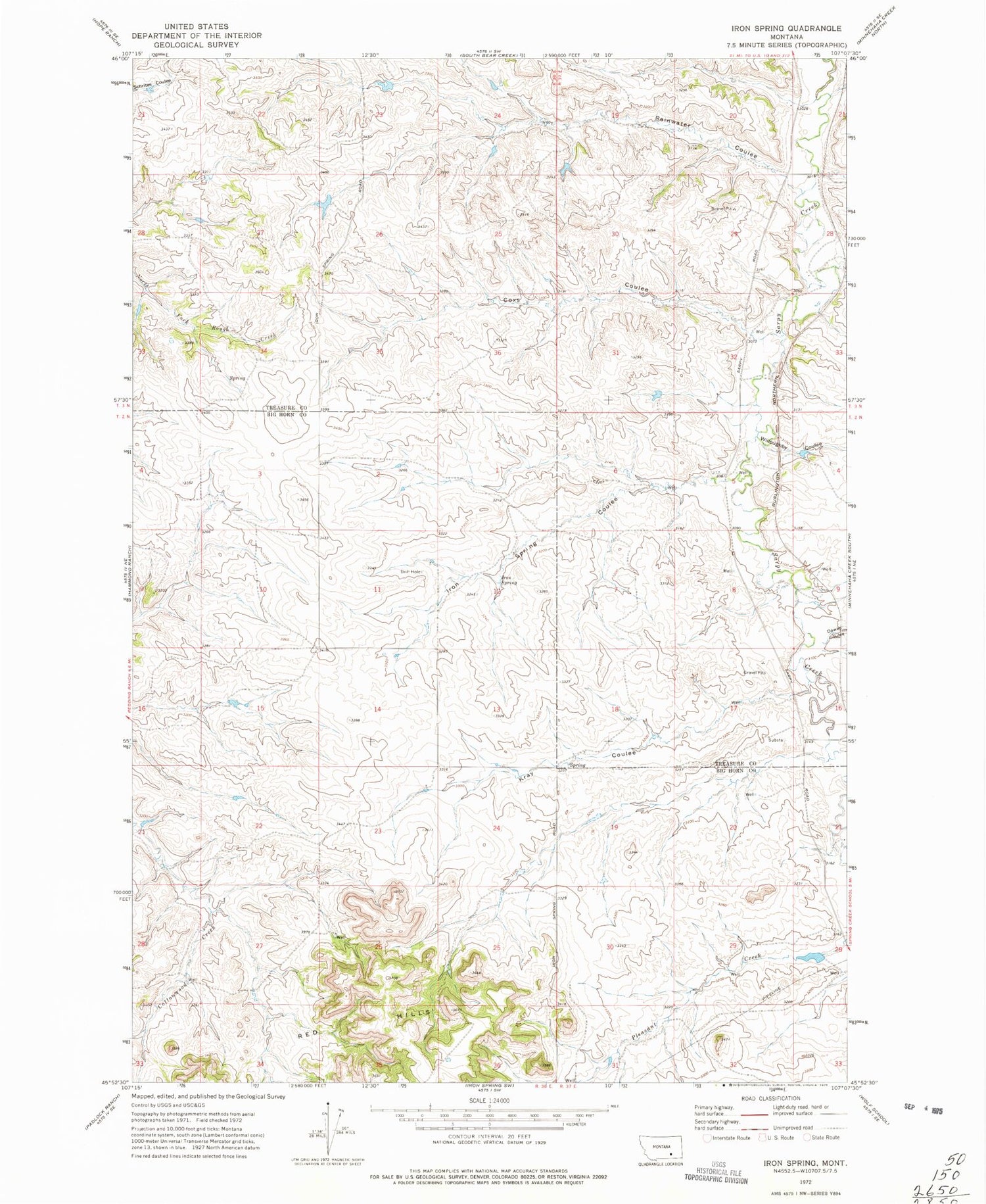
Classic USGS Iron Spring Montana 7.5'x7.5' Topo Map
Couldn't load pickup availability
Historical USGS topographic quad map of Iron Spring in the state of Montana. Map scale may vary for some years, but is generally around 1:24,000. Print size is approximately 24" x 27"
This quadrangle is in the following counties: Big Horn, Treasure.
The map contains contour lines, roads, rivers, towns, and lakes. Printed on high-quality waterproof paper with UV fade-resistant inks, and shipped rolled.
Contains the following named places: 02N36E11AACD01 Spring, 02N36E11ADAA01 Well, 02N36E12ABDC01 Well, 02N36E14ABAB01 Spring, 02N36E23AADB02 Spring, 02N36E26BCDB01 Well, 02N36E28DDAC01 Well, 02N37E04BDCD01 Well, 02N37E05C___01 Well, 02N37E08ADDC01 Well, 02N37E08BDAD01 Well, 02N37E17ACCC01 Well, 02N37E18CCAD01 Well, 02N37E18CCCD01 Spring, 02N37E19CDDC01 Spring, 02N37E20ABDB01 Well, 02N37E20ABDC01 Well, 02N37E21CAAC01 Well, 02N37E28ACCB01 Well, 02N37E28ACCB02 Well, 02N37E29CADD01 Well, 02N37E32BBBB01 Well, Adams School, Coxs Coulee, Dawes Coulee, Iron Spring, Iron Spring Coulee, Iron Springs School, Kray Coulee, Lubbock-Wallace School, Rainwater Coulee, Walt, Wight School, Willoughby Coulee


