MyTopo
Classic USGS Irondale Missouri 7.5'x7.5' Topo Map
Couldn't load pickup availability
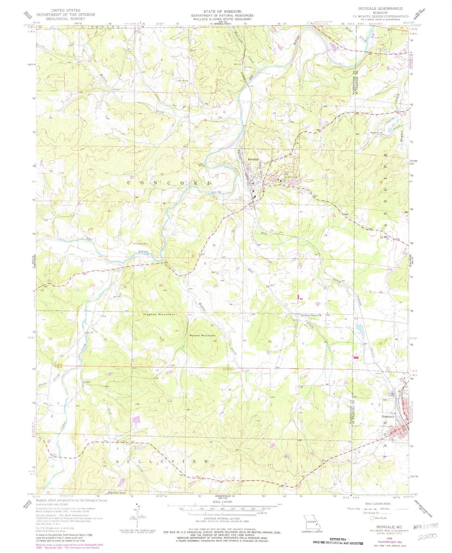
Historical USGS topographic quad map of Irondale in the state of Missouri. Map scale may vary for some years, but is generally around 1:24,000. Print size is approximately 24" x 27"
This quadrangle is in the following counties: St. Francois, Washington.
The map contains contour lines, roads, rivers, towns, and lakes. Printed on high-quality waterproof paper with UV fade-resistant inks, and shipped rolled.
Contains the following named places: Adams Property, Alum Cave Methodist Church, Alum Cave School, Big River Cemetery, Bismarck Fire Department, Bismarck Masonic Cemetery, Bismarck Rural Fire Protection Association, Blay Creek, Camp Irondale, Cates Lake Dam, Cedar Creek, City of Irondale, Davis Cemetery, Dry Creek, Eaton Iron Bank, Evans Mine, Eversole Mine, Goose Creek, Hayden Creek, Hayden Creek Mine, Hazel Glen School, Hickory Grove Cemetery, Hickory Grove Church, Hickory Grove School, Hill View Lake Dam South, Hillview Lake, Hillview Lake Dam, Hopewell Creek, Hughes Cemetery, Hughes Creek, Hughes Mill, Hughes Mountain, Irondale, Irondale Community Volunteer Fire Department, Irondale Lake, Irondale Mine, Irondale Post Office, Kirkpatrick Iron Bank, Lake Apache, Lake Apache Dam, Lake Cherokee, Lake Cherokee Dam, Lake Sacajawea, Lost Creek, Maryden, McCormack Ford, Mill Creek, Red Rock, Rock Spring School, Round Mountain, Scott Iron Bank, Sherlock School, Township of Bellevue, Township of Concord, Wallen Cemetery, Wallen Creek, Yacovelli Lake Dam, ZIP Codes: 63624, 63648


