MyTopo
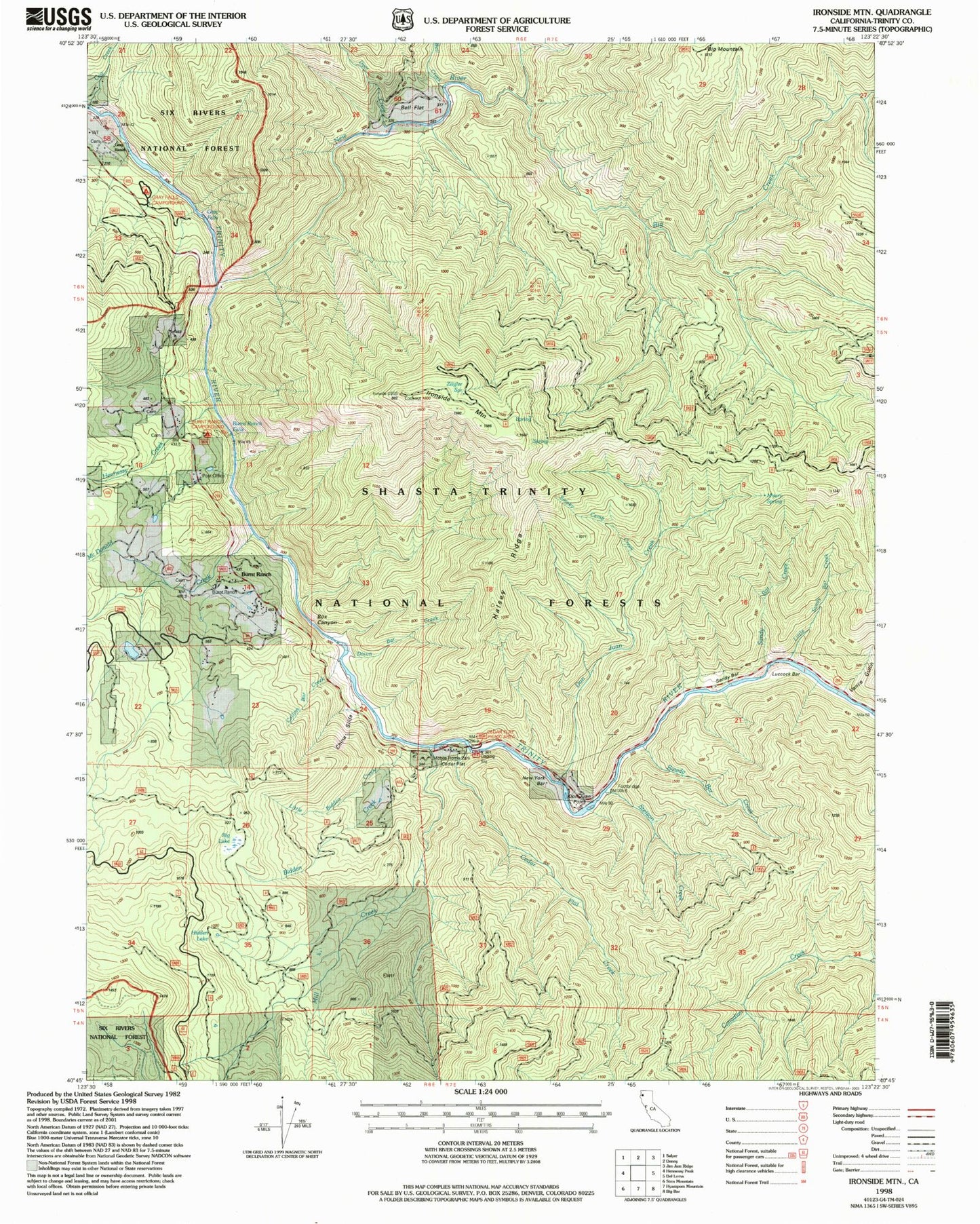
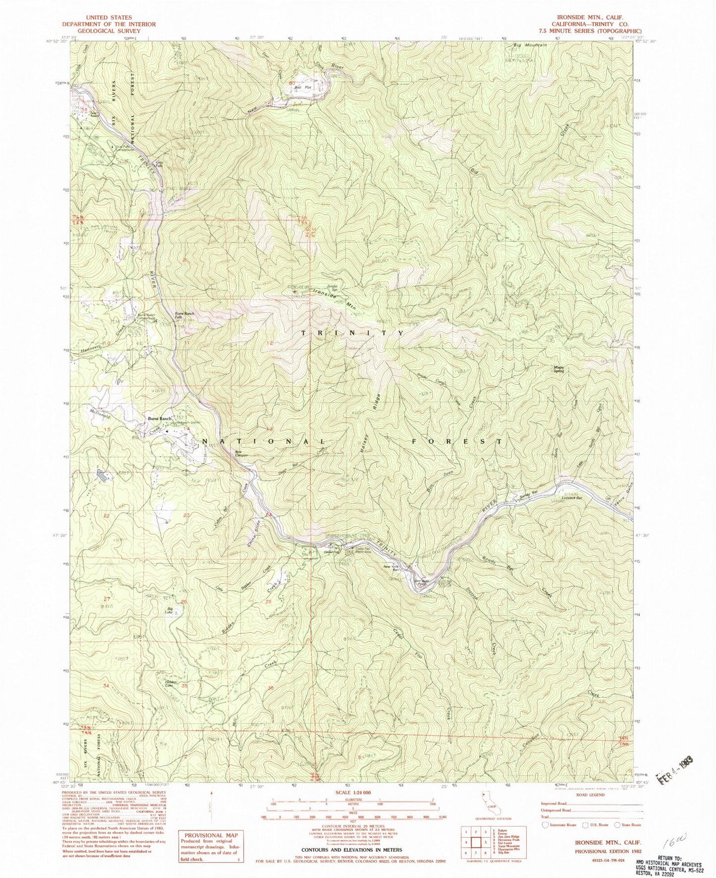
Classic USGS Ironside Mountain California 7.5'x7.5' Topo Map
Couldn't load pickup availability
Historical USGS topographic quad map of Ironside Mountain in the state of California. Map scale may vary for some years, but is generally around 1:24,000. Print size is approximately 24" x 27"
This quadrangle is in the following counties: Trinity.
The map contains contour lines, roads, rivers, towns, and lakes. Printed on high-quality waterproof paper with UV fade-resistant inks, and shipped rolled.
Contains the following named places: Bell Creek, Bell Flat, Bidden Creek, Big Creek, Big Lake, Box Canyon, Burnt Ranch, Burnt Ranch Campground, Burnt Ranch Elementary School, Burnt Ranch Falls, Burnt Ranch Post Office, Burnt Ranch School, Burnt Ranch Station, Cedar Flat, Cedar Flat Creek, Cedar Flat Picnic Area, China Slide, Collins Bar Creek, Dixon Bar Creek, Don Juan Creek, Don Juan Point, Dyer Creek, Gray Falls, Gray Falls Campground, Gray Ranch, Halsey Ridge, Hennessy Creek, Hidden Lake, Ironside Mountain, Little Bidden Creek, Little Sandy Bar Creek, Luccock Bar, McDonald Creek, Mill Creek, Misery Spring, New River, New York Bar, Rowdy Bar Creek, Sandy Bar Creek, Smoky Camp Creek, Stetson Creek, Trinity Wild and Scenic River, Vance Gulch, Zeigler Spring


