MyTopo
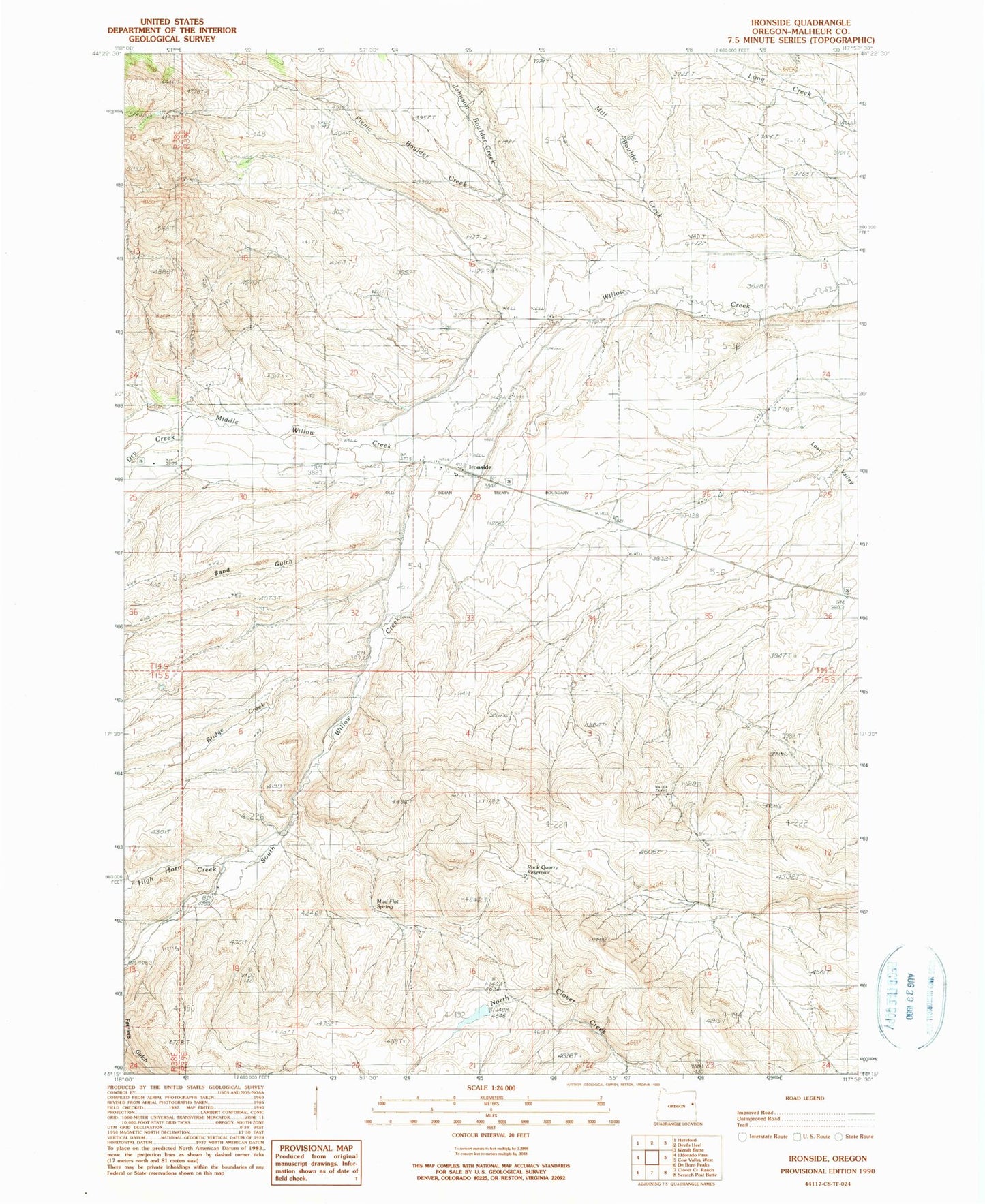
Classic USGS Ironside Oregon 7.5'x7.5' Topo Map
Couldn't load pickup availability
Historical USGS topographic quad map of Ironside in the state of Oregon. Map scale may vary for some years, but is generally around 1:24,000. Print size is approximately 24" x 27"
This quadrangle is in the following counties: Malheur.
The map contains contour lines, roads, rivers, towns, and lakes. Printed on high-quality waterproof paper with UV fade-resistant inks, and shipped rolled.
Contains the following named places: Bradley Creek, Bridge Creek, Camp Colfax, Dry Creek, Duncan Ditch, Ferriers Gulch, High Horn Creek, Ironside, Ironside Cemetery, Ironside Post Office, Ironside School, Ironside Valley, Johnson Boulder Creek, Middle Willow Creek, Mill Boulder Creek, Moltham Reservoir Four, Moltham Reservoir One, Moltham Reservoir Three, Moltham Reservoir Two, Mud Flat Spring, Picnic Boulder Creek, Rock Quarry Reservoir, Rose Creek, Rutherford Ditch, Rutherford Spring, Sand Gulch, South Willow Creek, The Ponds Reservoir, Young Ditch, ZIP Code: 97908