MyTopo
Classic USGS Ironton Michigan 7.5'x7.5' Topo Map
Couldn't load pickup availability
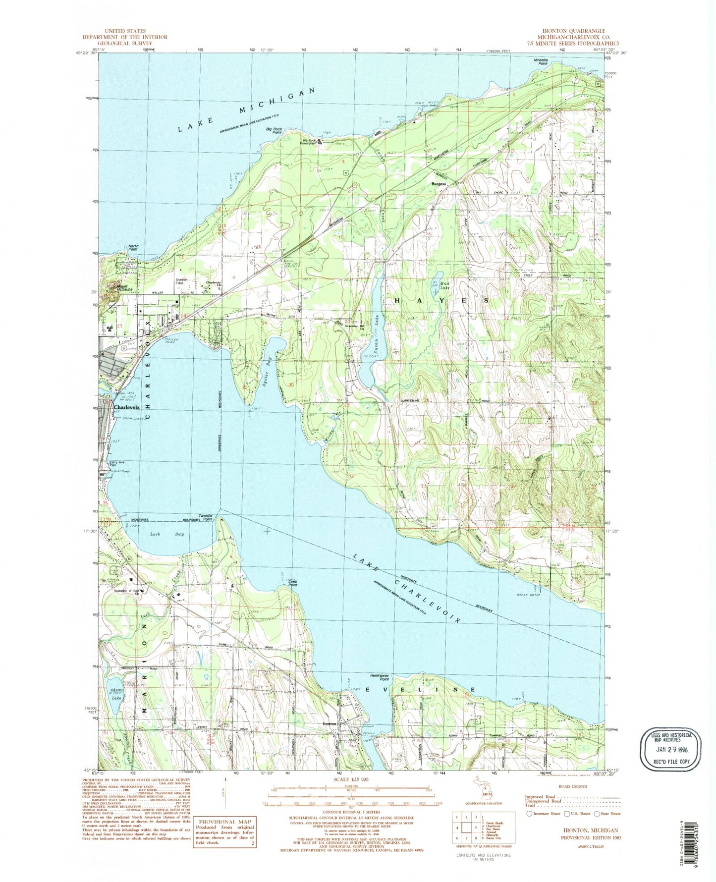
Historical USGS topographic quad map of Ironton in the state of Michigan. Map scale may vary for some years, but is generally around 1:24,000. Print size is approximately 24" x 27"
This quadrangle is in the following counties: Charlevoix.
The map contains contour lines, roads, rivers, towns, and lakes. Printed on high-quality waterproof paper with UV fade-resistant inks, and shipped rolled.
Contains the following named places: Adams Creek, Adams Lake, Assembly of God Church, Bedwin Post Office, Bethany Lutheran Church, Bible Baptist Church, Big Rock Point, Big Rock Point Nuclear Power Plant Historical, Big Rock Powerplant, Burgess, Burgess Post Office, Burgess Station, Charlevoix Country Club, Charlevoix Elementary School, Charlevoix Municipal Golf Course, Charlevoix Station, Charlevoix Township Fire Department Station 1, Charlevoix Township Fire Department Station 3, Chesters Boat Livery, Church of the Nazarene, City of Charlevoix Municipal Utilities, Coast Guard Station Charlevoix, Community Reformed Church, Depot Beach Park, Dunmaglas Golf Course, Ferry Avenue Park, Grace Fellowship Mennonite Church, Greensky Church, Greensky Hill Church, Greensky Hill Mission Historical Marker, Greensky Indian Cemetery, Hemingway Point, Irish Boat Shop Incorporated, Ironton, Ironton Census Designated Place, Ironton Congregational Church, Ironton Post Office, Lake Terrace Mobile Court, Loeb Bay, Loeb Creek, Loeb Point, Mount McSauba, Mount McSauba Ski Hill, Mud Lake, Ninemile Point, North Point, Northwest Marine, Oyster Bay, Park Island, Railroad Depot Museum, Shannon Field, Stover Creek, Susan Creek, Susan Lake, Township of Hayes, Twomile Point, Undine Post Office, Woods Creek, ZIP Code: 49720


