MyTopo
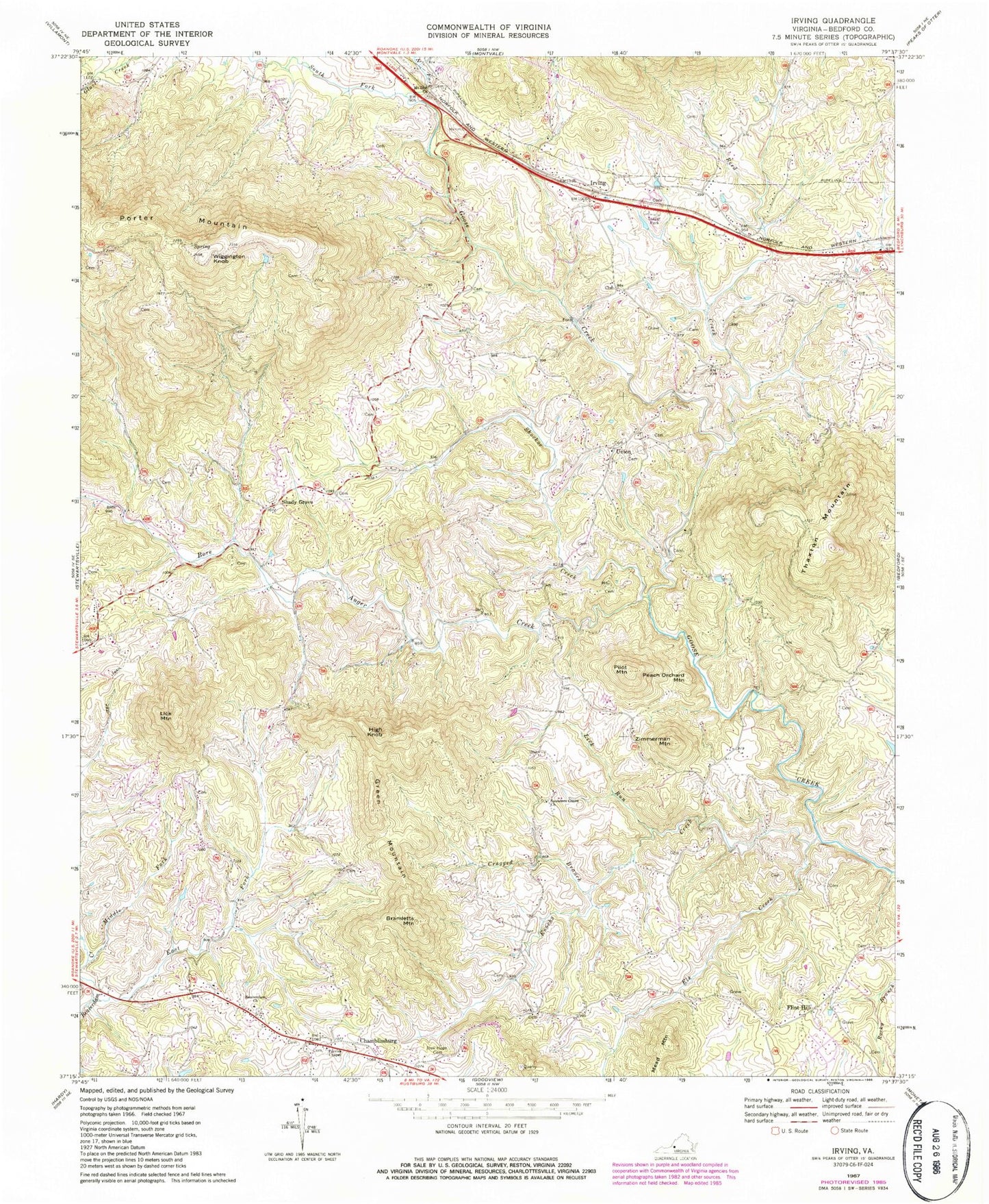
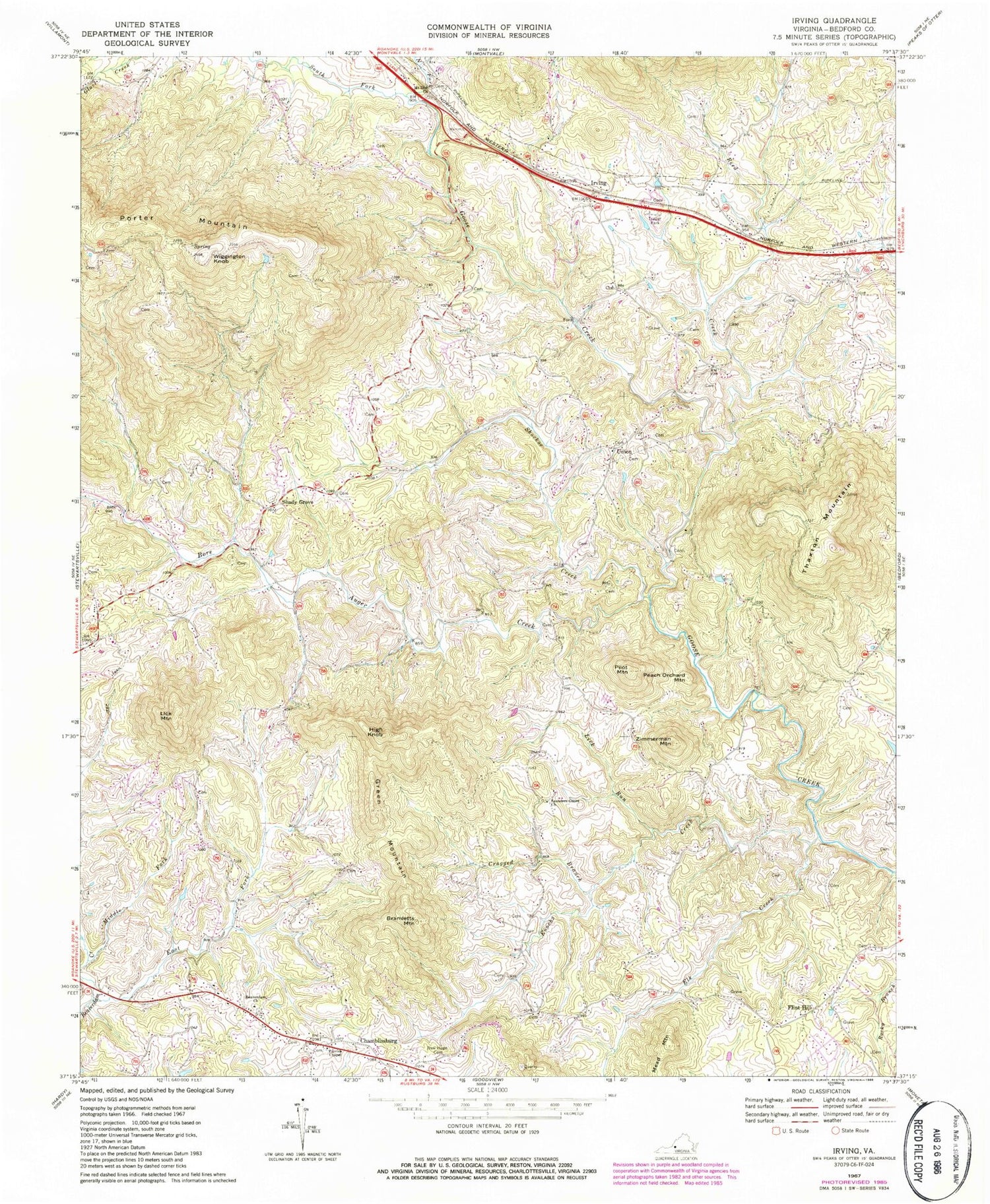
Classic USGS Irving Virginia 7.5'x7.5' Topo Map
Couldn't load pickup availability
Historical USGS topographic quad map of Irving in the state of Virginia. Typical map scale is 1:24,000, but may vary for certain years, if available. Print size: 24" x 27"
This quadrangle is in the following counties: Bedford.
The map contains contour lines, roads, rivers, towns, and lakes. Printed on high-quality waterproof paper with UV fade-resistant inks, and shipped rolled.
Contains the following named places: Beaverdam Church, Bramletts Mountain, Cragged Branch, Elk Creek, Enochs Creek, Green Mountain, High Knob, Lick Mountain, Lick Run, Mount Zion Baptist Church, New Hope Cemetery, Parris Chapel, Pilot Mountain, Saunders Grove Church, East Fork Beaverdam Creek, Middle Fork Beaverdam Creek, Zimmerman Mountain, Shockoe Creek, Wiggington Knob, Thaxton Mountain, Irving, Shady Grove, Bore Auger Creek, North Fork Goose Creek, Reed Creek, South Fork Goose Creek, Chamblissburg, Flint Hill, Peach Orchard Mountain, Porter Mountain, Union, WYMY-FM (Bedford), WSET-TV (Lynchburg), WJPR-TV (Lynchburg), Coonsville (historical), Franklin School (historical), New Hope Church (historical), Rocky Ford, Shady Grove Church, Tate Cemetery, Union Methodist Church, Blue Ridge District, Shady Grove Volunteer Fire Department, Stewartsville - Chamblissburg Volunteer Fire Department Station 2, Chamblissburg First Aid and Rescue Squad, District 6


