MyTopo
Classic USGS Irvins Coulee Montana 7.5'x7.5' Topo Map
Regular price
$16.95
Regular price
Sale price
$16.95
Unit price
per
Couldn't load pickup availability
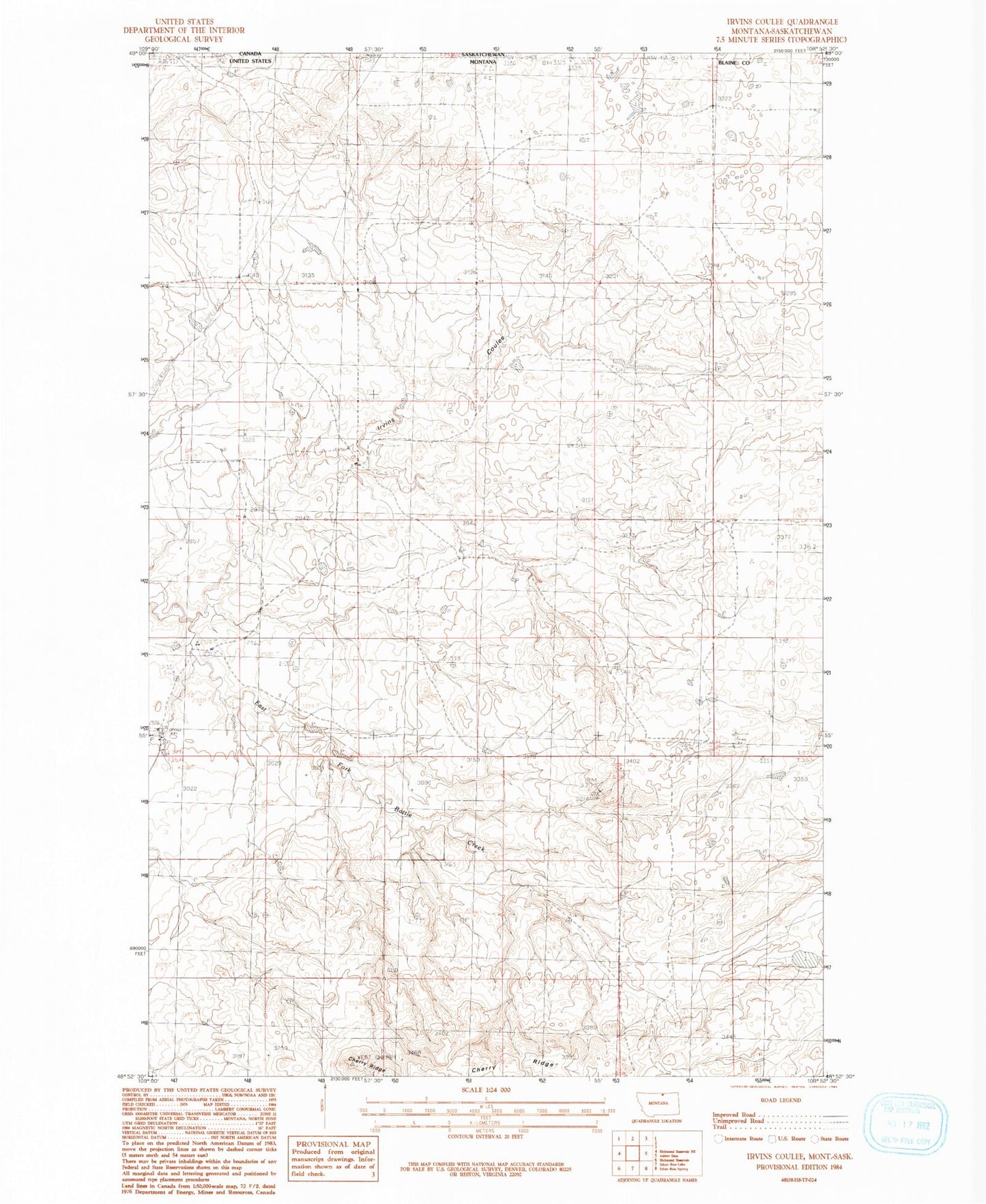
Historical USGS topographic quad map of Irvins Coulee in the state of Montana. Map scale may vary for some years, but is generally around 1:24,000. Print size is approximately 24" x 27"
This quadrangle is in the following counties: Blaine.
The map contains contour lines, roads, rivers, towns, and lakes. Printed on high-quality waterproof paper with UV fade-resistant inks, and shipped rolled.
Contains the following named places: 36N22E09BAC_01 Well, 37N21E02CAC_01 Well, Cherry Ridge Ranch, Gordon Cattle Company Number 3 Dam, Irvins Coulee, Pike School, Pleasant Valley School