MyTopo
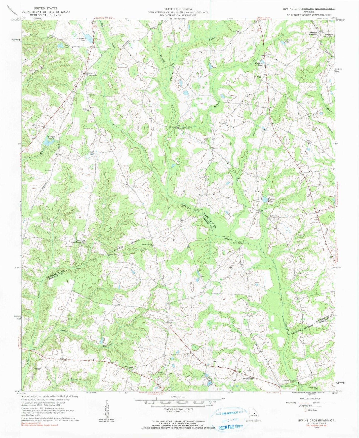
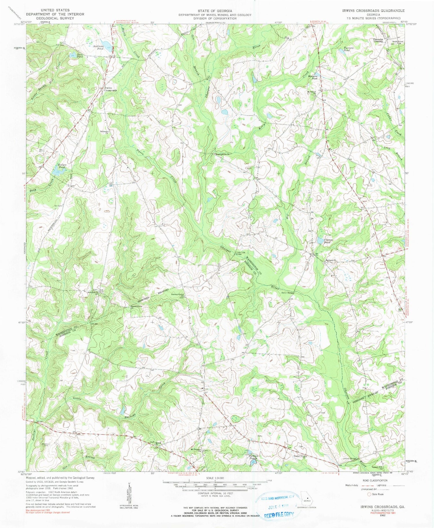
Classic USGS Irwins Crossroads Georgia 7.5'x7.5' Topo Map
Couldn't load pickup availability
Historical USGS topographic quad map of Irwins Crossroads in the state of Georgia. Map scale may vary for some years, but is generally around 1:24,000. Print size is approximately 24" x 27"
This quadrangle is in the following counties: Johnson, Washington.
The map contains contour lines, roads, rivers, towns, and lakes. Printed on high-quality waterproof paper with UV fade-resistant inks, and shipped rolled.
Contains the following named places: Andrews Pond, Andrews Pond Dam, Beach Grove Church, Bethany Cemetery, Bethany Church, Bethel Church, Bethesda Church, Big Branch, Bridges Cemetery, Burnett Grove Church, Daniel Bridge, Daniel Grove Church, Dyers Creek, Gin Branch, Harts Ford Bridge, Hodges Pond, Hodges Pond Dam, Indian Hill School, Irwins Crossroads, Johnson Bridge, Johnson Lake, Johnson Lake Dam, Kelly Creek, Little Buckeye Creek, Masseys Mill Bridge, Mineral Springs Academy, Morgans Pond, Mount Gilead Church, Mount Gilead Church Cemetery, Mount Pleasant Church, Ohoopee Volunteer Fire Department, Old Bethesda Cemetery, Orr Cemetery, Orrs Pond, Parkers Ponds, Peacocks Crossing, Smith Grove Church, Smiths Grove School, Tucker Grove Church, Turners Pond, Vickers Hill Church, Waters Cemetery, Youngs Pond, ZIP Code: 31089


