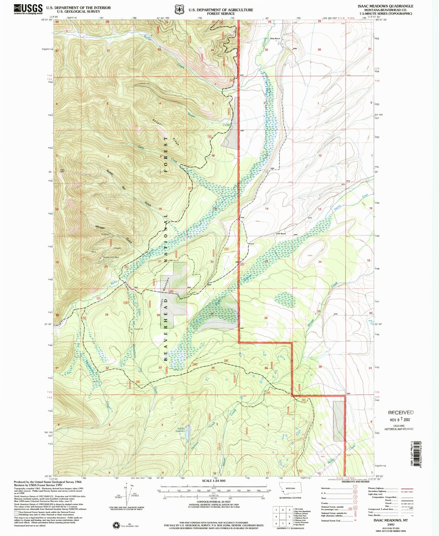
MyTopo
Classic USGS Isaac Meadows Montana 7.5'x7.5' Topo Map
Couldn't load pickup availability
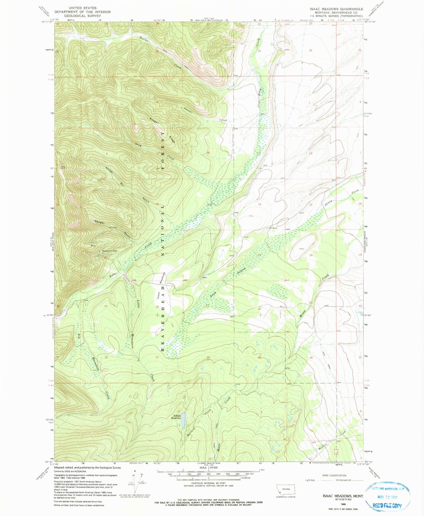
Historical USGS topographic quad map of Isaac Meadows in the state of Montana. Map scale may vary for some years, but is generally around 1:24,000. Print size is approximately 24" x 27"
This quadrangle is in the following counties: Beaverhead.
The map contains contour lines, roads, rivers, towns, and lakes. Printed on high-quality waterproof paper with UV fade-resistant inks, and shipped rolled.
Contains the following named places: Badger Ridge, Big Moosehorn Creek, Butler Creek, Gory Creek, Holland Creek, Isaac Meadows, Little Moosehorn Creek, Moose Horn Mine, Moosehorn, Moosehorn Mine, Nickel Bar Gulch, One Thousand One Hundred Twenty Ranch, Portal Gulch, Ruby Ranch, Sawpit Creek, Schultz Dam, Schultz Reservoir, Wenger Gulch, Yank Swamp