MyTopo
Classic USGS Isabel South Dakota 7.5'x7.5' Topo Map
Couldn't load pickup availability
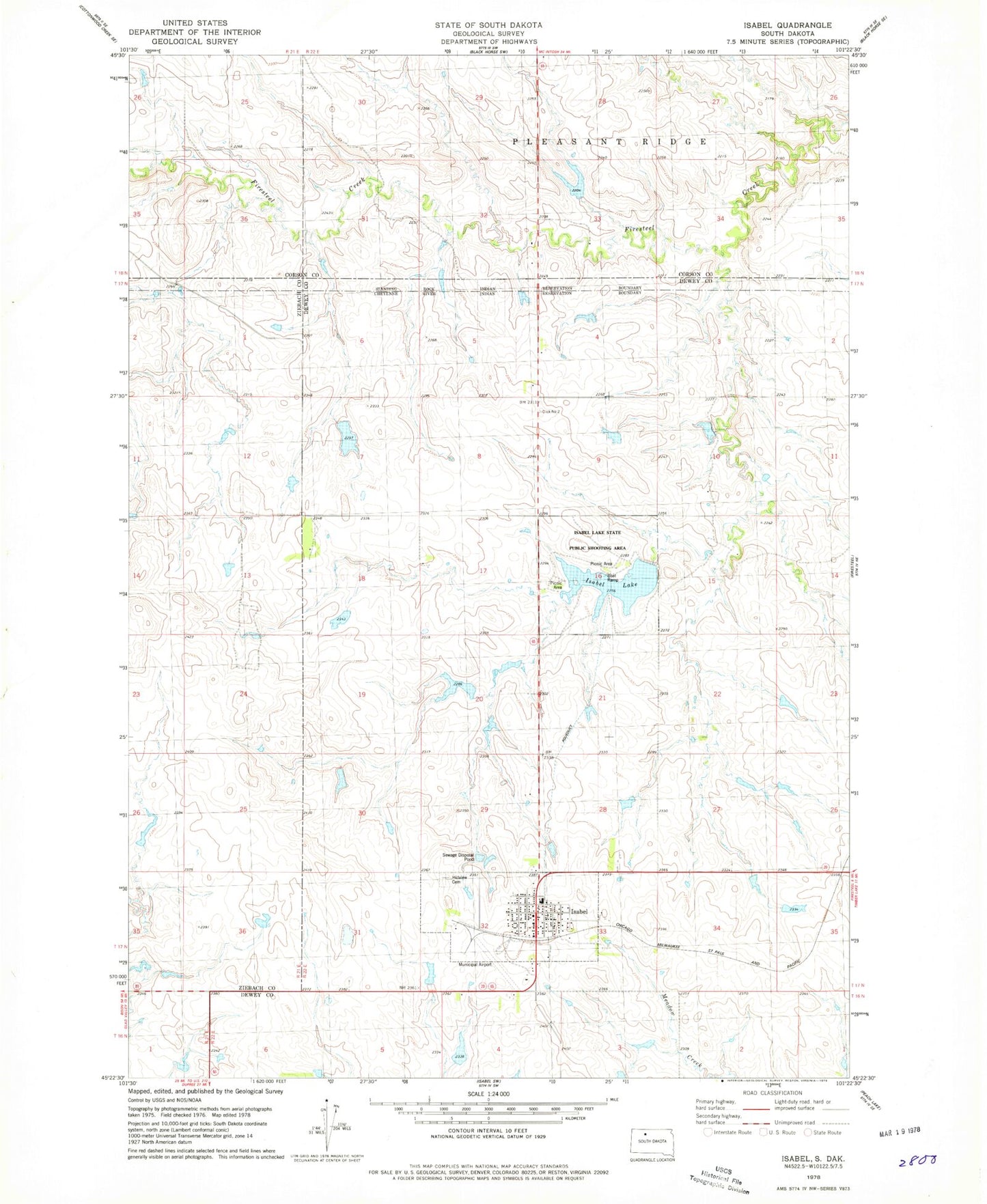
Historical USGS topographic quad map of Isabel in the state of South Dakota. Map scale may vary for some years, but is generally around 1:24,000. Print size is approximately 24" x 27"
This quadrangle is in the following counties: Corson, Dewey, Ziebach.
The map contains contour lines, roads, rivers, towns, and lakes. Printed on high-quality waterproof paper with UV fade-resistant inks, and shipped rolled.
Contains the following named places: Bill Lindshov Dam, D Woddell Dam, Dewey County Ambulance Service Isabel, G and J Heck Number 1 Dam, G and J Heck Number 2 Dam, G Boldt Dam, Hillview Cemetery, Isabel, Isabel City Hall, Isabel Lake, Isabel Lake Dam, Isabel Lake State Public Shooting Area, Isabel Municipal Airport, Isabel Post Office, Isabel Volunteer Fire Department, John Meginess Dam, R Clark Number 1 Dam, R Clark Number 2 Dam, R Clark Number 3 Dam, S Tidball Dam, Town of Isabel, ZIP Code: 57633