MyTopo
Classic USGS Isabella Station Minnesota 7.5'x7.5' Topo Map
Regular price
$16.95
Regular price
Sale price
$16.95
Unit price
per
Couldn't load pickup availability
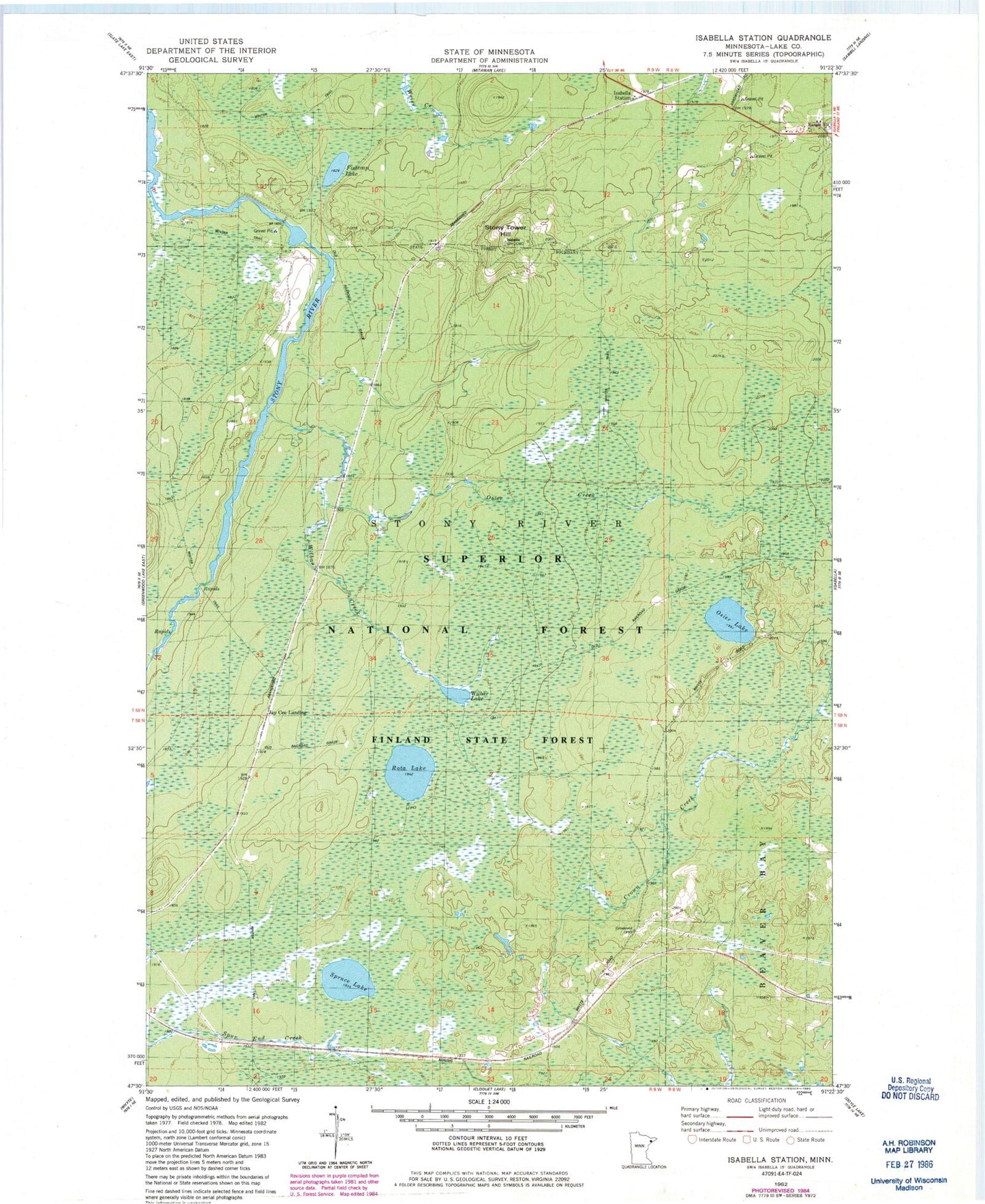
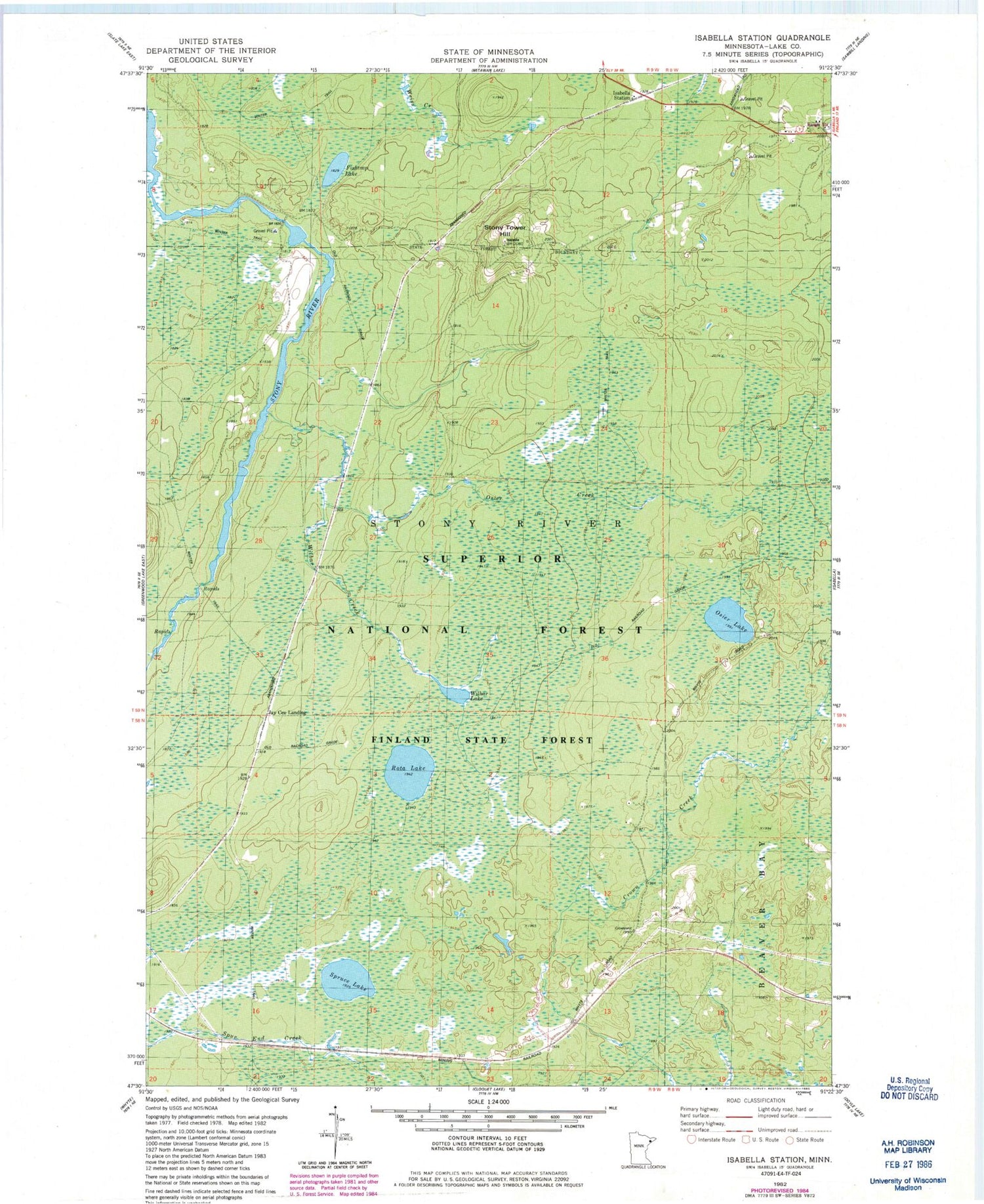
Historical USGS topographic quad map of Isabella Station in the state of Minnesota. Map scale may vary for some years, but is generally around 1:24,000. Print size is approximately 24" x 27"
This quadrangle is in the following counties: Lake.
The map contains contour lines, roads, rivers, towns, and lakes. Printed on high-quality waterproof paper with UV fade-resistant inks, and shipped rolled.
Contains the following named places: Fishtrap Lake, Isabella, Jay See Landing, Lake County, Osier Creek, Osier Lake, Rota Lake, Spruce Lake, Stony Lookout Tower, Stony Tower Hill, Wilbur Creek, Wilbur Lake, Winter, ZIP Code: 55607