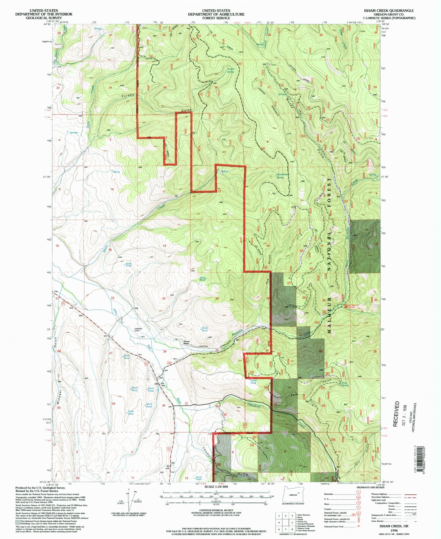
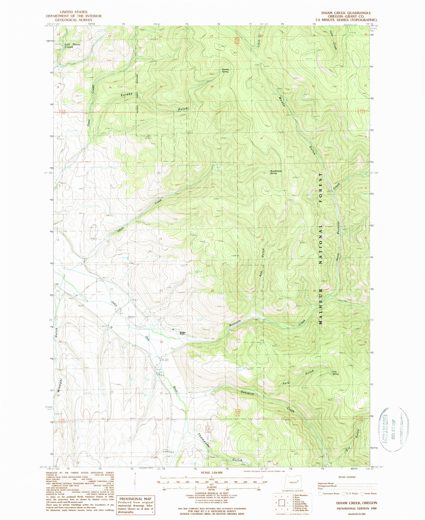
MyTopo
Classic USGS Isham Creek Oregon 7.5'x7.5' Topo Map
Couldn't load pickup availability
Historical USGS topographic quad map of Isham Creek in the state of Oregon. Map scale may vary for some years, but is generally around 1:24,000. Print size is approximately 24" x 27"
This quadrangle is in the following counties: Grant.
The map contains contour lines, roads, rivers, towns, and lakes. Printed on high-quality waterproof paper with UV fade-resistant inks, and shipped rolled.
Contains the following named places: Axe Gulch, Bumblebee Spring, Deardorff Creek, Drinkwater Ranch, Dry Gulch, Eureka Gulch, Eureka Spring, French Lane, Horse Spring, Isham Creek, Johnson Ranch, Kimberly Ranch, Morgan Ranch, Mossy Gulch, North Reynolds Creek, Pole Gulch, Pole Spring, Reynolds Creek, Ricco Ranch, Thompson Gulch, Wildcat Creek, Winegar Gulch