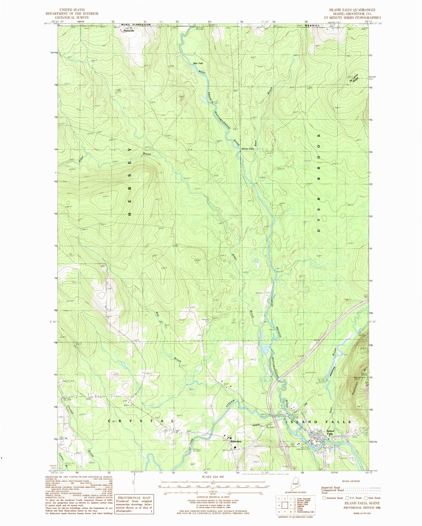
MyTopo
Classic USGS Island Falls Maine 7.5'x7.5' Topo Map
Couldn't load pickup availability
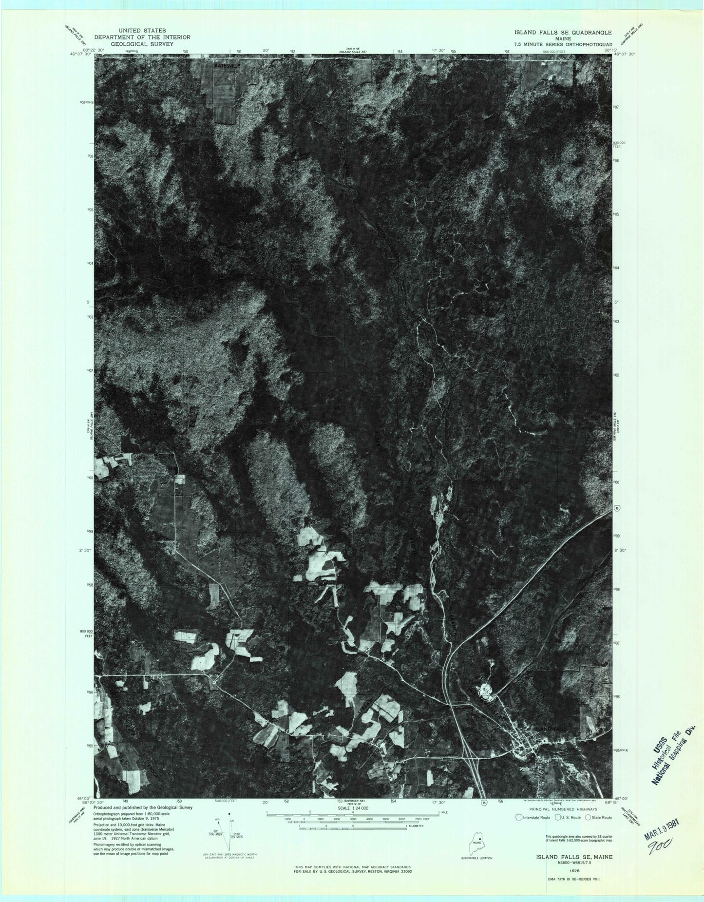
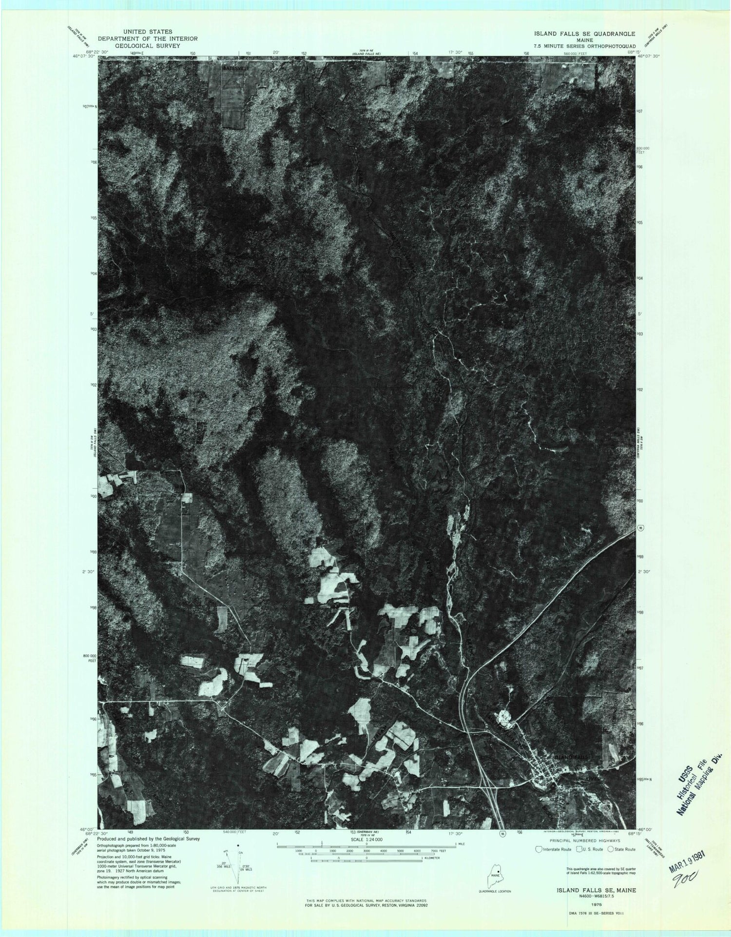
Historical USGS topographic quad map of Island Falls in the state of Maine. Map scale may vary for some years, but is generally around 1:24,000. Print size is approximately 24" x 27"
This quadrangle is in the following counties: Aroostook.
The map contains contour lines, roads, rivers, towns, and lakes. Printed on high-quality waterproof paper with UV fade-resistant inks, and shipped rolled.
Contains the following named places: Alder Brook, Bates Cemetery, Bear Brook, Belvedere Church, Bog Brook, Dyer Brook, Fish Stream, Hackett School, Hersey School, Island Falls, Island Falls Ambulance Service, Island Falls Census Designated Place, Island Falls Fire Department, Island Falls Opera House, Island Falls Post Office, Island Falls United Baptist Church, Katahdin Public Library, Robinson Mountain, Saint Agnes Roman Catholic Church, Sly Brook, Stair Falls, Stevens School, Town of Hersey, Warren Falls, Whittier Congregational Church, Wilbur School