MyTopo
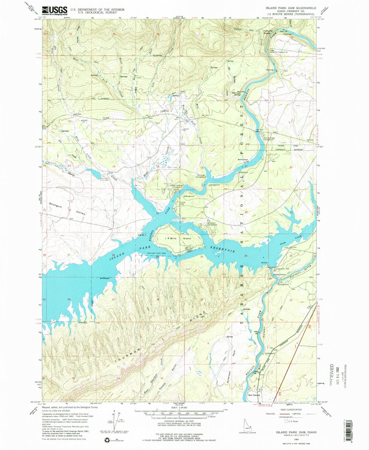
Classic USGS Island Park Dam Idaho 7.5'x7.5' Topo Map
Couldn't load pickup availability
Historical USGS topographic quad map of Island Park Dam in the state of Idaho. Typical map scale is 1:24,000, but may vary for certain years, if available. Print size: 24" x 27"
This quadrangle is in the following counties: Fremont.
The map contains contour lines, roads, rivers, towns, and lakes. Printed on high-quality waterproof paper with UV fade-resistant inks, and shipped rolled.
Contains the following named places: Antelope Park, Arange Creek, Blind Creek, Blue Creek, Box Canyon, Buffalo River, Buttermilk Campground, Coffee Pot Creek, Coffee Pot Rapids, Crow Creek, Dry Creek, East Fork Hotel Creek, Elk Springs Creek, Harrison Spring, Hotel Creek, I P Bills Island, Island Park Dam, Lower Coffee Pot Campground, McCrea Ranch, Mill Creek, Mill Creek Campground, Sheep Creek, Shotgun Valley, Tyler Creek, West Fork Hotel Creek, Yale Creek, Rea, Box Canyon, McCrea Bridge Campground, Jackson Landing Campground, Island Park Fire Department Station 3, West Fork Mill Creek


