MyTopo
Classic USGS Island View Minnesota 7.5'x7.5' Topo Map
Couldn't load pickup availability
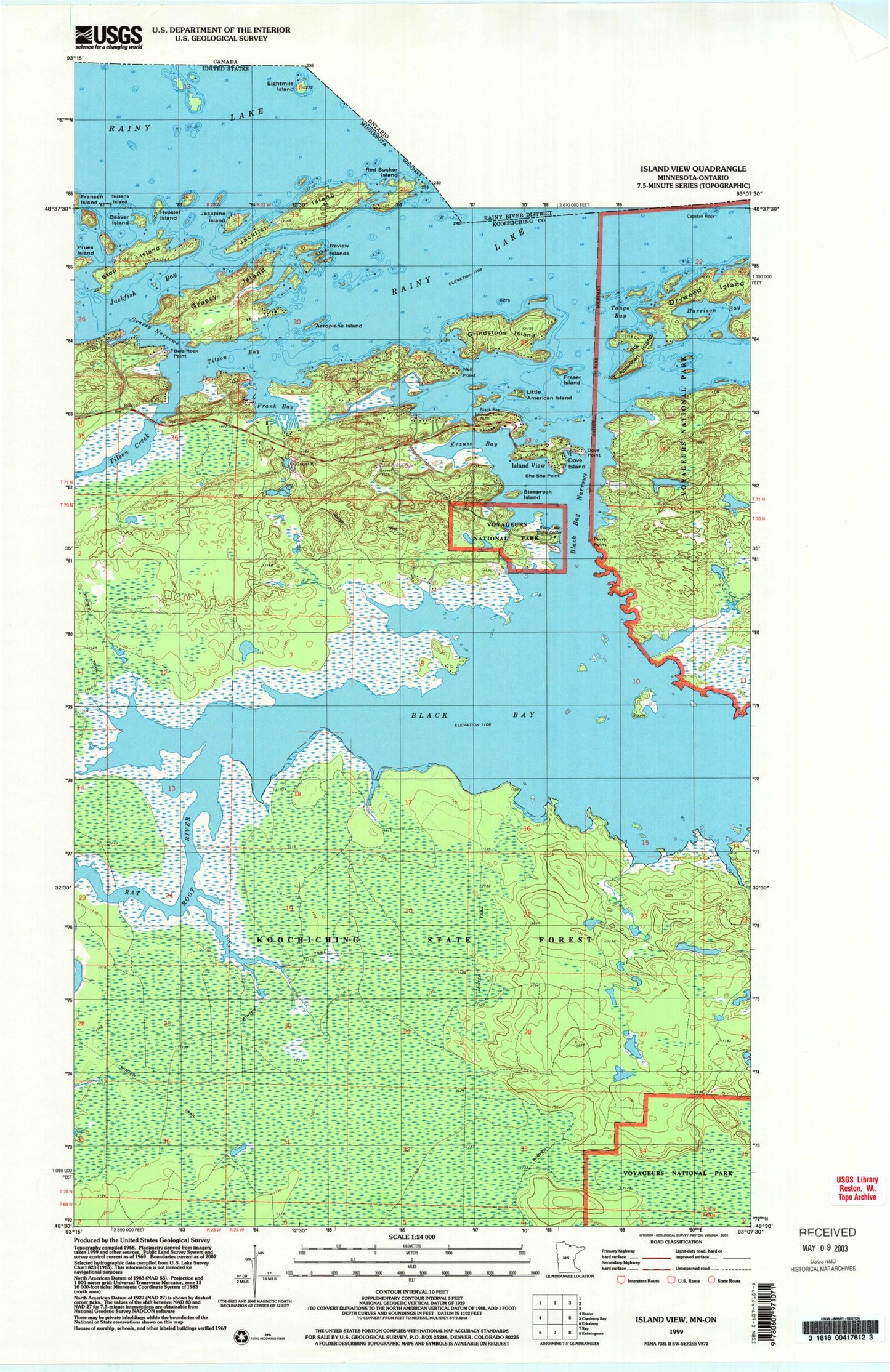
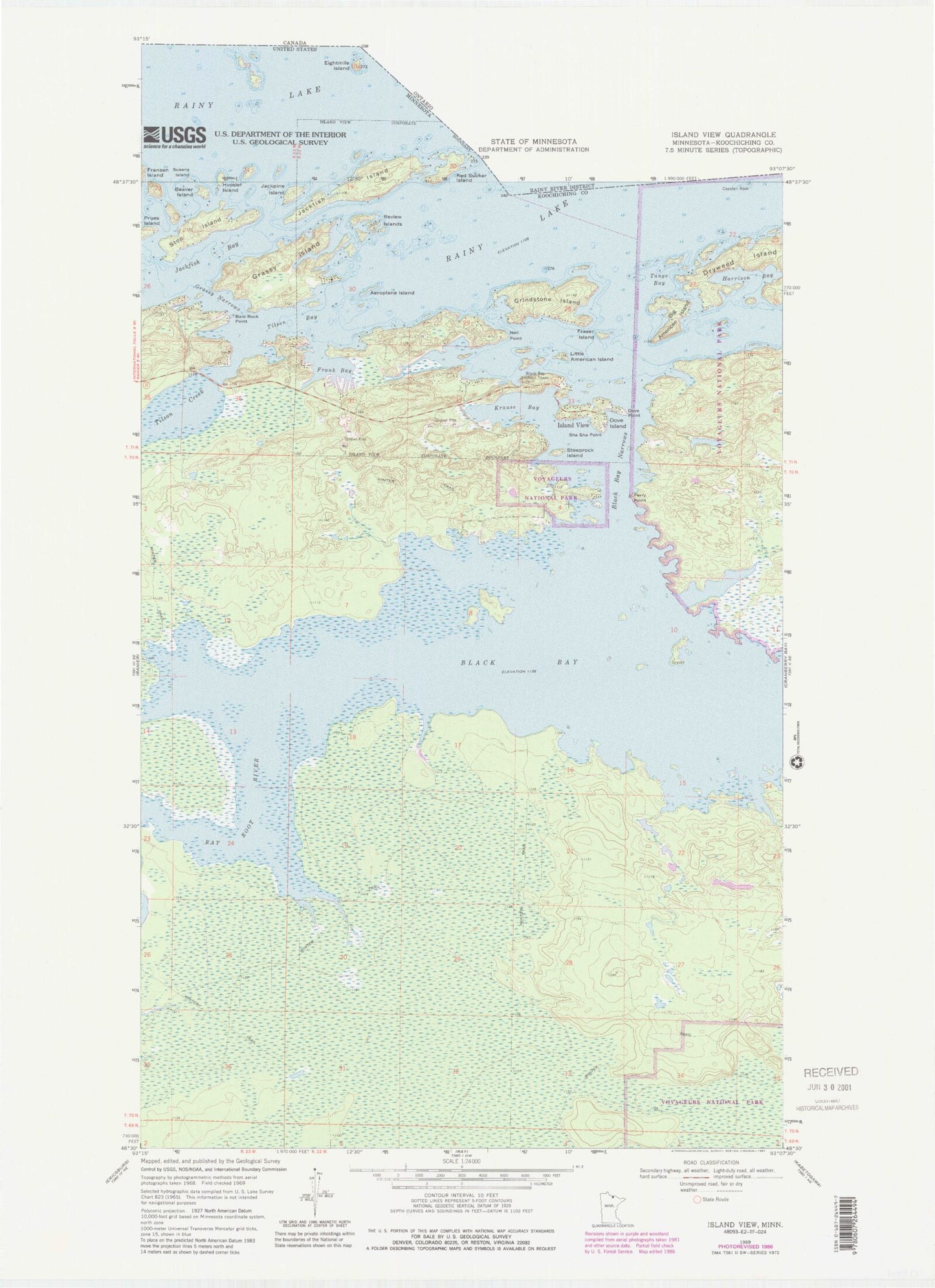
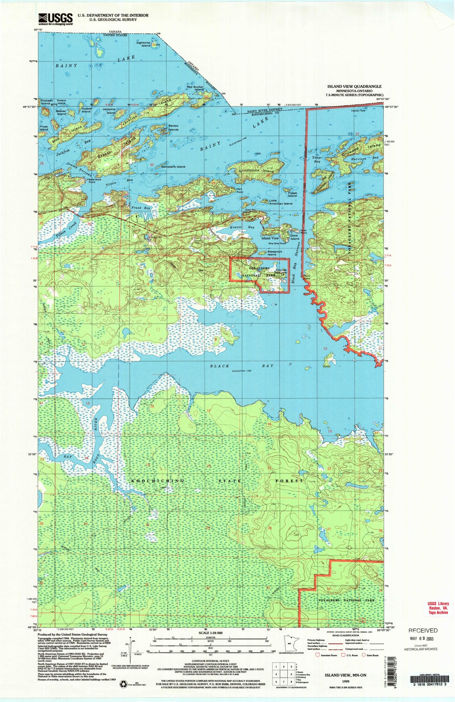
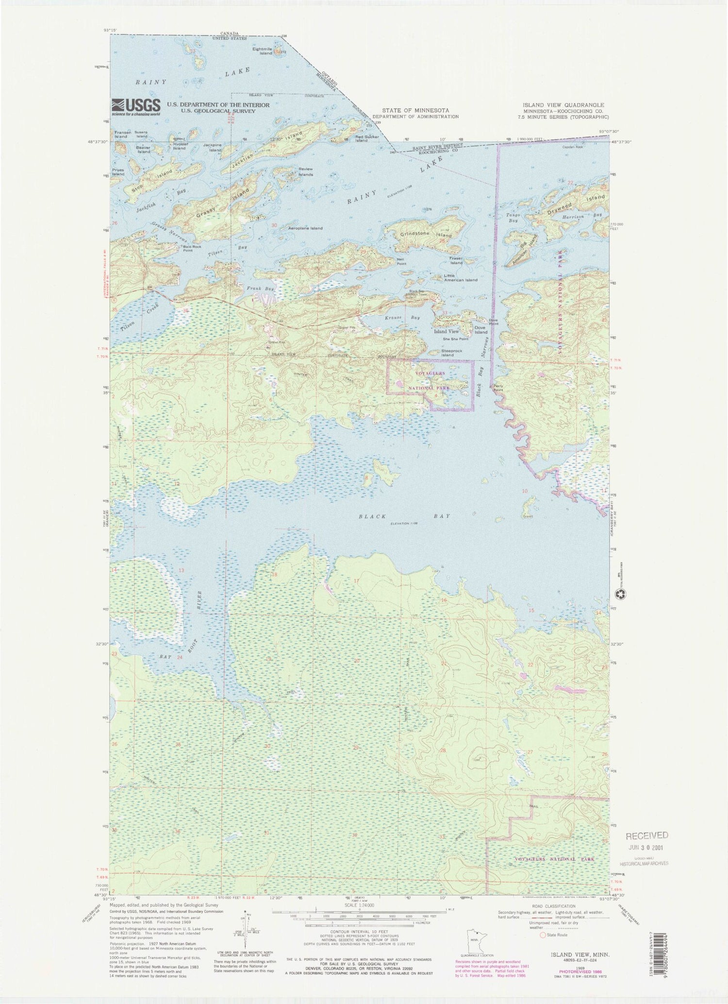
Historical USGS topographic quad map of Island View in the state of Minnesota. Map scale may vary for some years, but is generally around 1:24,000. Print size is approximately 24" x 27"
This quadrangle is in the following counties: Koochiching.
The map contains contour lines, roads, rivers, towns, and lakes. Printed on high-quality waterproof paper with UV fade-resistant inks, and shipped rolled.
Contains the following named places: Aeroplane Island, American Narrows, Bald Rock Camp, Bald Rock Light, Bald Rock Point, Beaver Island, Big American Island, Black Bay, Black Bay Lookout Tower, Black Bay Narrows, Camp Koochiching, Capstan Rock, City of Island View, Dove Island, Dove Point, Frank Bay, Fraser Island, Grassy Island, Grassy Narrows, Grindstone Island, Harrison Bay, Island View, Island View Lodge, Jackfish Island, Jackpine Island, Koochiching Sportsmans Association, Krause Bay, Little American Island, Neil Point, Perry Point, Prues Island, Rainy Lake, Rainy Lake Dove Island Wayside Park, Rat Root River, Review Islands, Sha Sha Point, Sha-Sha Resort, Spring Lodge Resort and Marina, Springers Point, Steeprock Island, Stop Island, Susans Island, Tango Bay, Thunderbird Resort, Tilson Bay, Tilson Bay Wayside Park, Tilson Creek


