MyTopo
Classic USGS Isles of Shoals Maine 7.5'x7.5' Topo Map
Couldn't load pickup availability
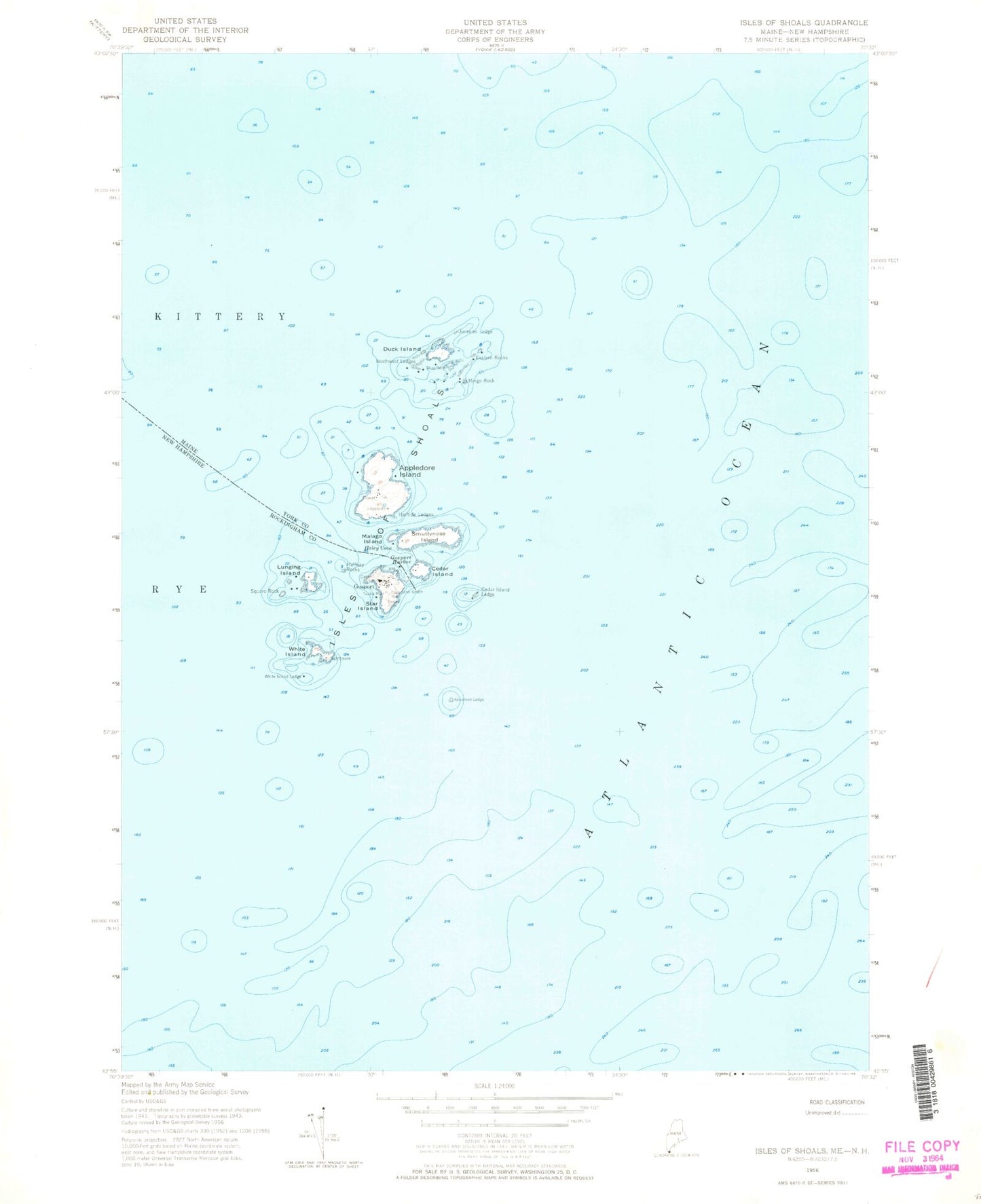
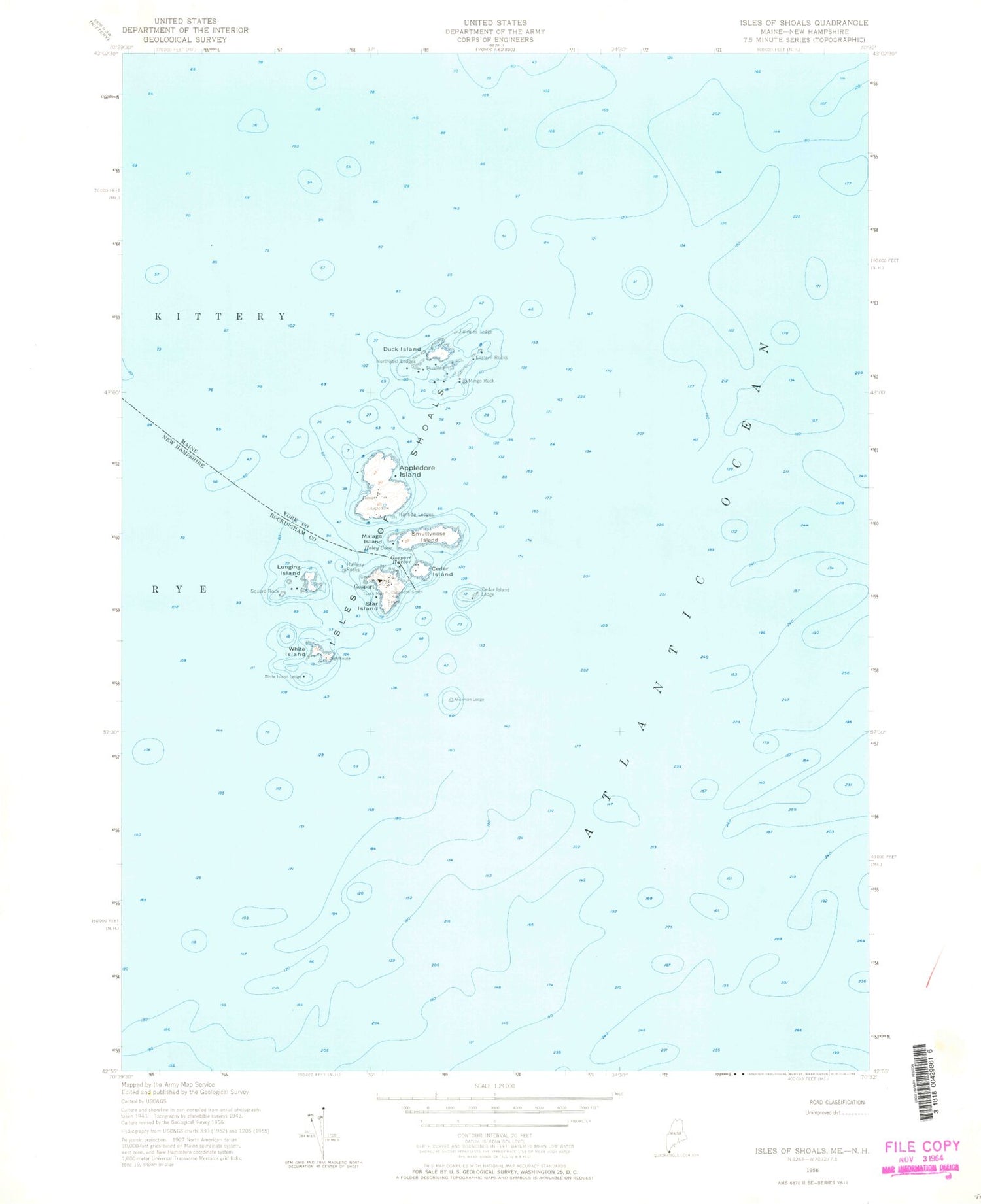
Historical USGS topographic quad map of Isles of Shoals in the states of Maine, New Hampshire. Map scale may vary for some years, but is generally around 1:24,000. Print size is approximately 24" x 27"
This quadrangle is in the following counties: Rockingham, York.
The map contains contour lines, roads, rivers, towns, and lakes. Printed on high-quality waterproof paper with UV fade-resistant inks, and shipped rolled.
Contains the following named places: Anderson Ledge, Appledore Island, Beebe Cemetery, Captain John Smith Monument, Caswell Cemetery, Cedar Island, Cedar Island Ledge, Duck Island, Eastern Rocks, Gosport, Gosport Chapel, Gosport Harbor, Haley Cemetery, Haley Cove, Haley House, Halftide Ledges, Halfway Rocks, Isle of Shoals Lighthouse, Isles of Shoals, Jimmies Ledge, Laighton Thaxter Cemetery, Lunging Island, Malaga Island, Mingo Rock, Northwest Ledges, Old Burying Ground, Old Henry, Shag Rock, Shoals Marine Laboratory, Smuttynose Island, Southwest Ledge, Square Rock, Star Island, Town of Kittery, Tucke Monument, White Island, White Island Ledge