MyTopo
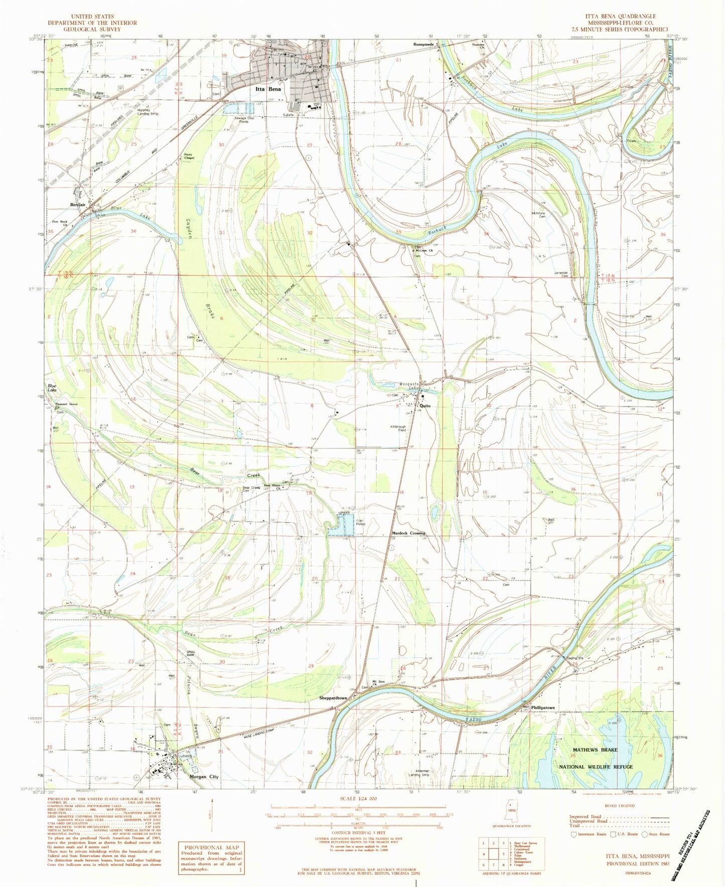
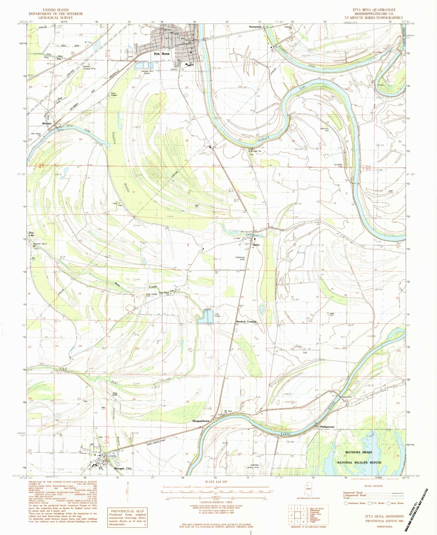
Classic USGS Itta Bena Mississippi 7.5'x7.5' Topo Map
Couldn't load pickup availability
Historical USGS topographic quad map of Itta Bena in the state of Mississippi. Map scale may vary for some years, but is generally around 1:24,000. Print size is approximately 24" x 27"
This quadrangle is in the following counties: Holmes, Leflore.
The map contains contour lines, roads, rivers, towns, and lakes. Printed on high-quality waterproof paper with UV fade-resistant inks, and shipped rolled.
Contains the following named places: Bear Creek Cemetery, Berclair, Blue Lake, Christ Temple Apostolic Faith Church, Church of God, E D Strains Pond Dam, First Baptist Church, First Methodist Church, Fry Brake, Gayden Brake, Itta Bena, Itta Bena Police Department, Itta Bena Post Office, Itta Bena Volunteer Fire Station, Itta Bena-Morgan City Presbyterian Church, Jeremiah Cemetery, Jeremiah Church, Kimbrough Field, L S Rogers Elementary School, Leflore County High School, Mathis Brake, McIntyre Cemetery, McLean Church, McLean Spur, Midway Church, Morgan City, Morgan City Baptist Church, Morgan City Post Office, Morgan City Volunteer Fire Department, Mosquito Lake, Mount Zion Church, Murdock Crossing, Murphey Flying Service Airport, New Bethel Baptist Church, New Home Church, Newton Landing, Payne Church, Pelucia Bayou, Perry Chapel, Phillipston Landing, Phillipston Volunteer Fire Department, Phillipstown, Phillipstown Baptist Church, Pickens Landing, Pleasant Grove Church, Plesant Grove Church, Quito, Roebuck Lake, Roebuck School, Runnymede, Saint Mary Missionary Baptist Church, Saint Rest Church of God in Christ, Shell Bluff Landing, Sheppardtown, Southworths Ferry, Supervisor District 4, Sweethour Church, Town of Morgan City, Truevine Church, Yazoo Church, Zion Rock Church, ZIP Code: 38941


