MyTopo
Classic USGS Ivyton Kentucky 7.5'x7.5' Topo Map
Couldn't load pickup availability
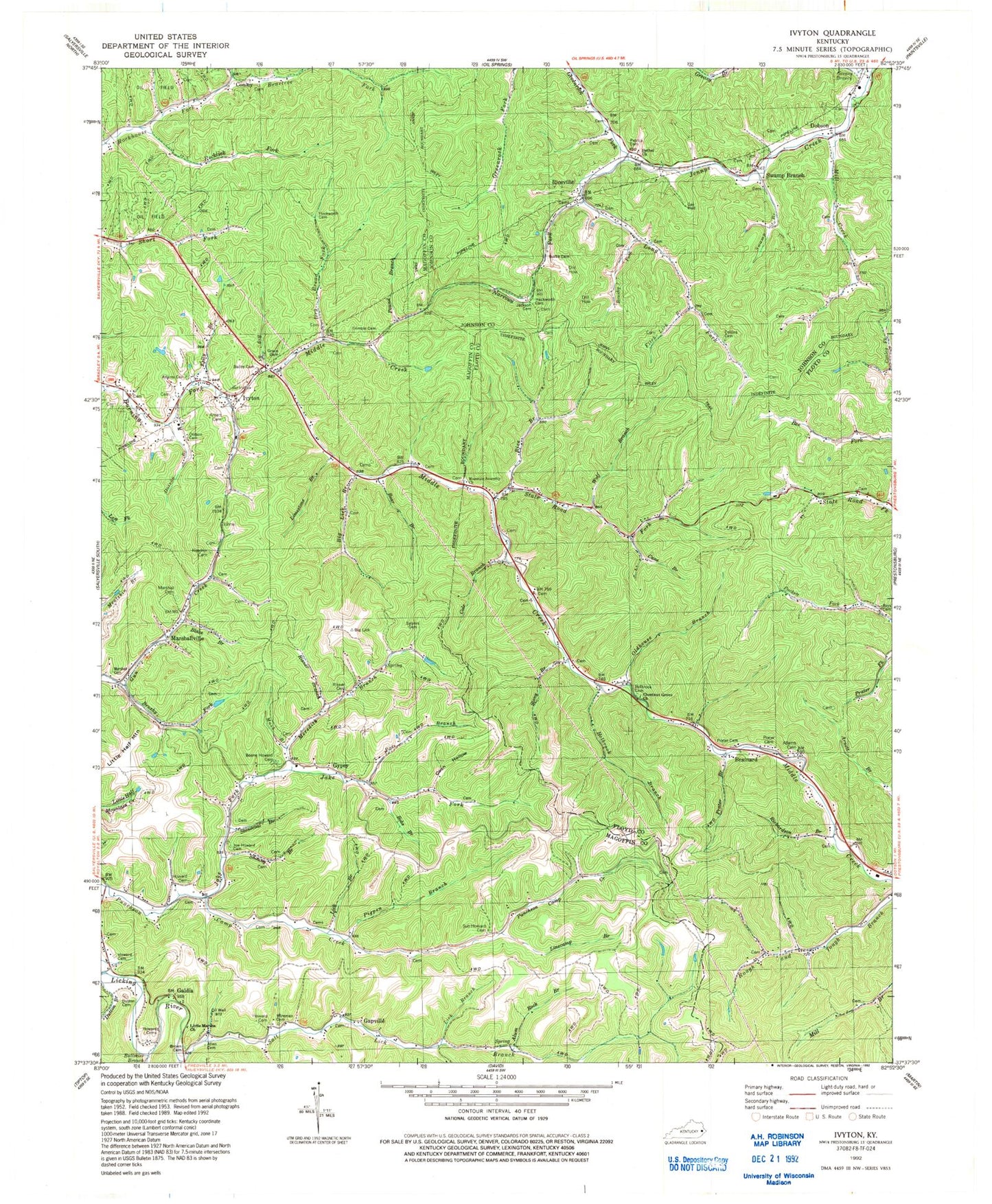
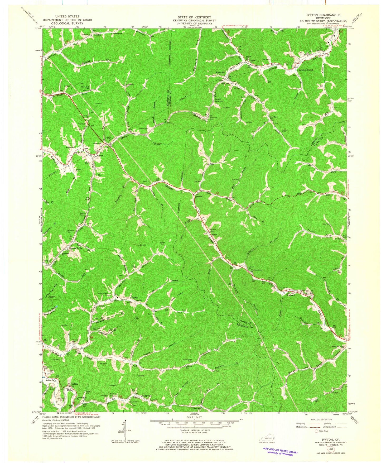
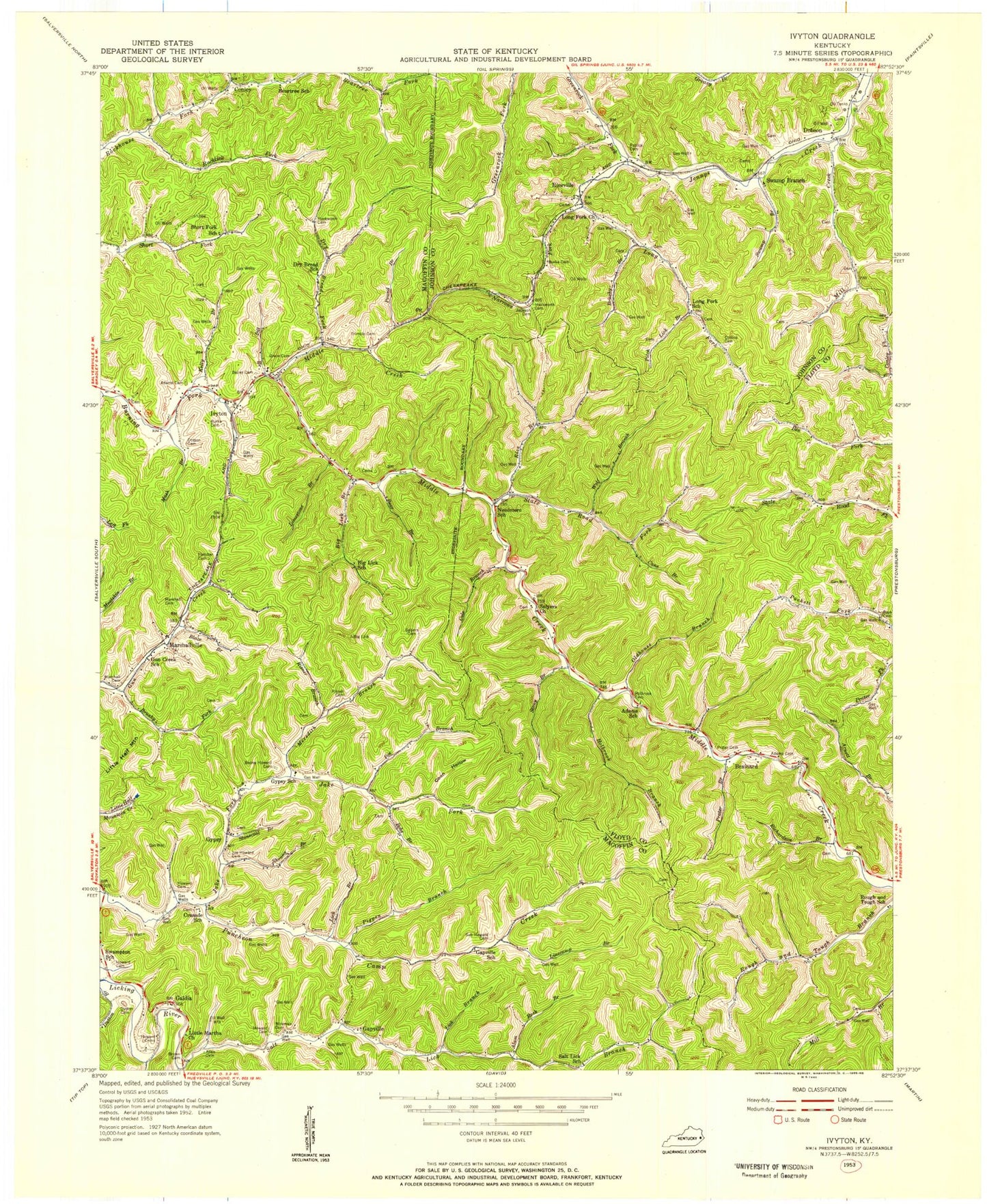
Historical USGS topographic quad map of Ivyton in the state of Kentucky. Map scale may vary for some years, but is generally around 1:24,000. Print size is approximately 24" x 27"
This quadrangle is in the following counties: Floyd, Johnson, Magoffin.
The map contains contour lines, roads, rivers, towns, and lakes. Printed on high-quality waterproof paper with UV fade-resistant inks, and shipped rolled.
Contains the following named places: Adams Cemetery, Allen Cemetery, Allen Post Office, Alum Rock Branch, Bailey Cemetery, Bays Cemetery, Bear Branch, Beartree Fork, Beartree School, Bethel Church, Big Branch, Big Lick Branch, Big Lick Church, Big Lick School, Blaze Branch, Bob Prater Cemetery, Bobs Branch, Boone Howard Cemetery, Brainard, Brown Cemetery, Brushy Branch, Brushy Fork, Bullmire Branch, Burke Cemetery, Cane Branch, Chestnut Cemetery, Chestnut Grove Church, Civil War Action Historical Marker, Cole Branch, Cole Cemetery, Collins Cemetery, Conley International Pentecostal Church Of Christ, Conley Post Office, Coon Hollow, Crusade School, Dobson, Dotson Branch, Dotson Cemetery, Dry Bread Fork, Dry Bread School, Dulton Cemetery, Dutton Branch, Elm Post Office, Fitch Lick Branch, Fletcher Cemetery, Galdia, Galdia Post Office, Gapville, Gapville Post Office, Gapville School, Grace Cemetery, Greasy Branch, Greenrock Fork, Gun Creek School, Gypsy, Gypsy School, Hackworth and Spradling Cemetery, Hackworth Cemetery, Holbrook Branch, Holbrook Cemetery, Howard Cemetery, Ivyton, Ivyton Post Office, Ivyton School, Jackson Cemetery, Jake Fork, Joe Howard Cemetery, Kelly Branch, Levi Allen Cemetery, Lick Branch, Limestone Branch, Linecamp Branch, Little Martha Church, Long Fork, Long Fork Church, Long Fork School, Marshall Cemetery, Marshallville, Marshallville Post Office, Meredith Branch, Middle Creek Volunteer Fire Department Station 1, Mill Creek, Narrows Fork, Needmore School, Ody Post Office, Oldhouse Branch, Patrick Cemetery, Pentecostal Church of God, Pigpen Branch, Poe Branch, Pound Branch, Prater Branch, Prater Cemetery, Rice Branch, Riceville, Richardson Branch, Risner Branch, Risner Cemetery, Rocklick Fork, Rough and Tough School, Salt Lick Branch, Salt Lick School, Salyers Cemetery, Salyers Church, Shonny Branch, Short Fork School, State Road Fork, Stonecoal Branch, Stony Branch, Sub Howard Cemetery, Swamp Branch, Swampton Church, Swampton School, Swampton Tower, Trimble Cemetery, William England Cemetery, Wireman Cemetery, Wireman Post Office, Wolf Branch, ZIP Code: 41464


