MyTopo
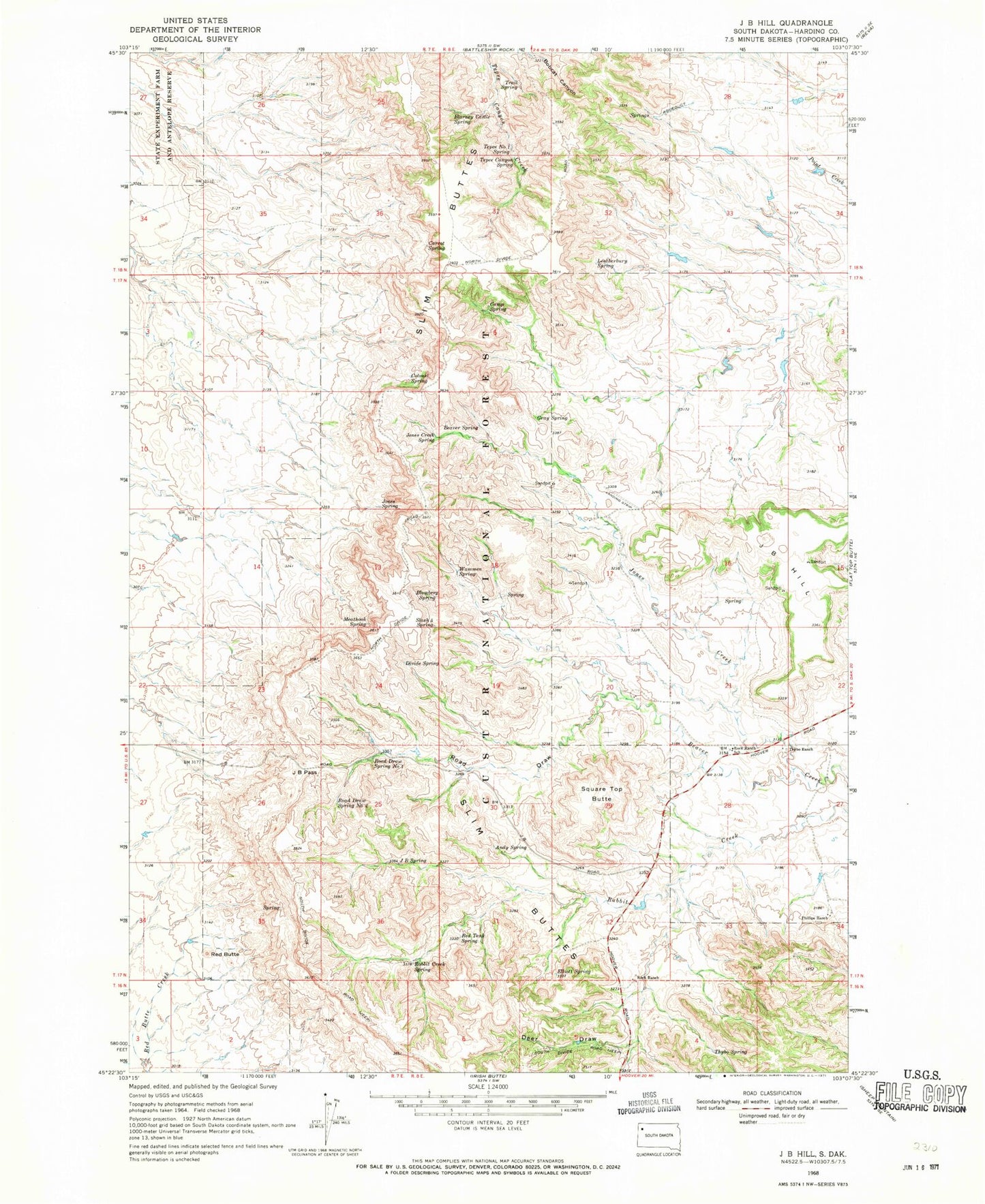
Classic USGS J B Hill South Dakota 7.5'x7.5' Topo Map
Couldn't load pickup availability
Historical USGS topographic quad map of J B Hill in the state of South Dakota. Map scale may vary for some years, but is generally around 1:24,000. Print size is approximately 24" x 27"
This quadrangle is in the following counties: Harding.
The map contains contour lines, roads, rivers, towns, and lakes. Printed on high-quality waterproof paper with UV fade-resistant inks, and shipped rolled.
Contains the following named places: Andy Spring, Beaver Spring, Blarney Castle Spring, Blomberg Spring, Camp Spring, Carrot Spring, Colonel Spring, Deer Draw, Divide Spring, Ell Springs, Elliott Spring, G Wammen Ranch, Gray Spring, H Hotchkiss Ranch, J B Hill, J B Pass, J B Spring, Jones Creek, Jones Creek Spring, Jones Spring, Leatherburg Spring, M Hamilton Ranch, Meathook Spring, Phillips Ranch, Rabbit Creek Dam, Rabbit Creek Reservoir, Rabbit Creek Spring, Red Butte, Red Tank Spring, Road Draw, Road Draw Spring Number One, Road Draw Spring Number Two, Rock Ranch, Rock Ranch School, Slash Five Spring, Slim Buttes, Square Top Butte, Tepee Canyon Spring, Tepee Number One Spring, Thybo Ranch, Thybo Spring, Township of Slim Buttes, Trail Spring, Wammen Spring, ZIP Code: 57651