MyTopo
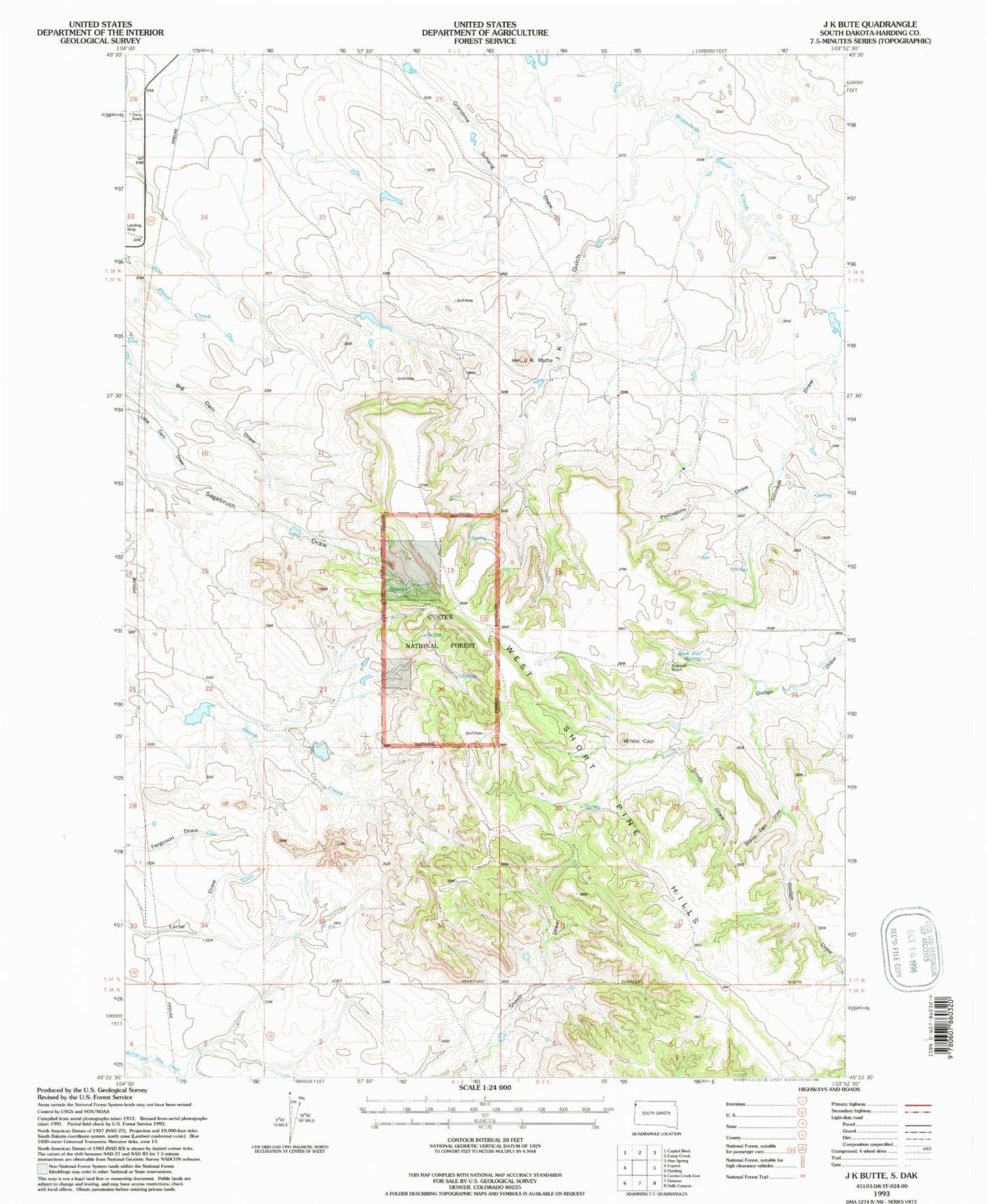
Classic USGS J K Butte South Dakota 7.5'x7.5' Topo Map
Regular price
$16.95
Regular price
Sale price
$16.95
Unit price
per
Couldn't load pickup availability
Historical USGS topographic quad map of J K Butte in the state of South Dakota. Map scale may vary for some years, but is generally around 1:24,000. Print size is approximately 24" x 27"
This quadrangle is in the following counties: Harding.
The map contains contour lines, roads, rivers, towns, and lakes. Printed on high-quality waterproof paper with UV fade-resistant inks, and shipped rolled.
Contains the following named places: Beaver Dam Draw, Davis Ranch, Holcomb Ranch, J K Butte, J K Gulch, Johnson Draw, Mud Butte Dam, Porcupine Draw, Rock Pile Spring, Short Pines Gas Field, Smith Draw, West Short Pine Hills, White Cap