MyTopo
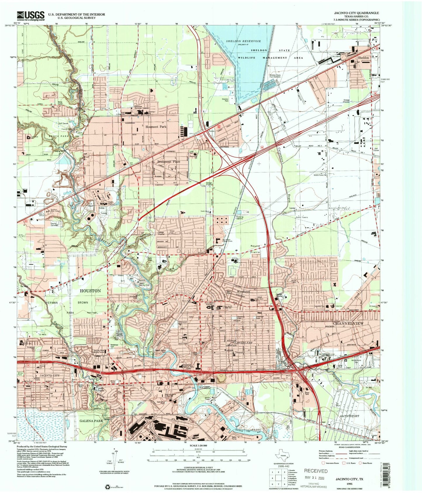
Classic USGS Jacinto City Texas 7.5'x7.5' Topo Map
Couldn't load pickup availability
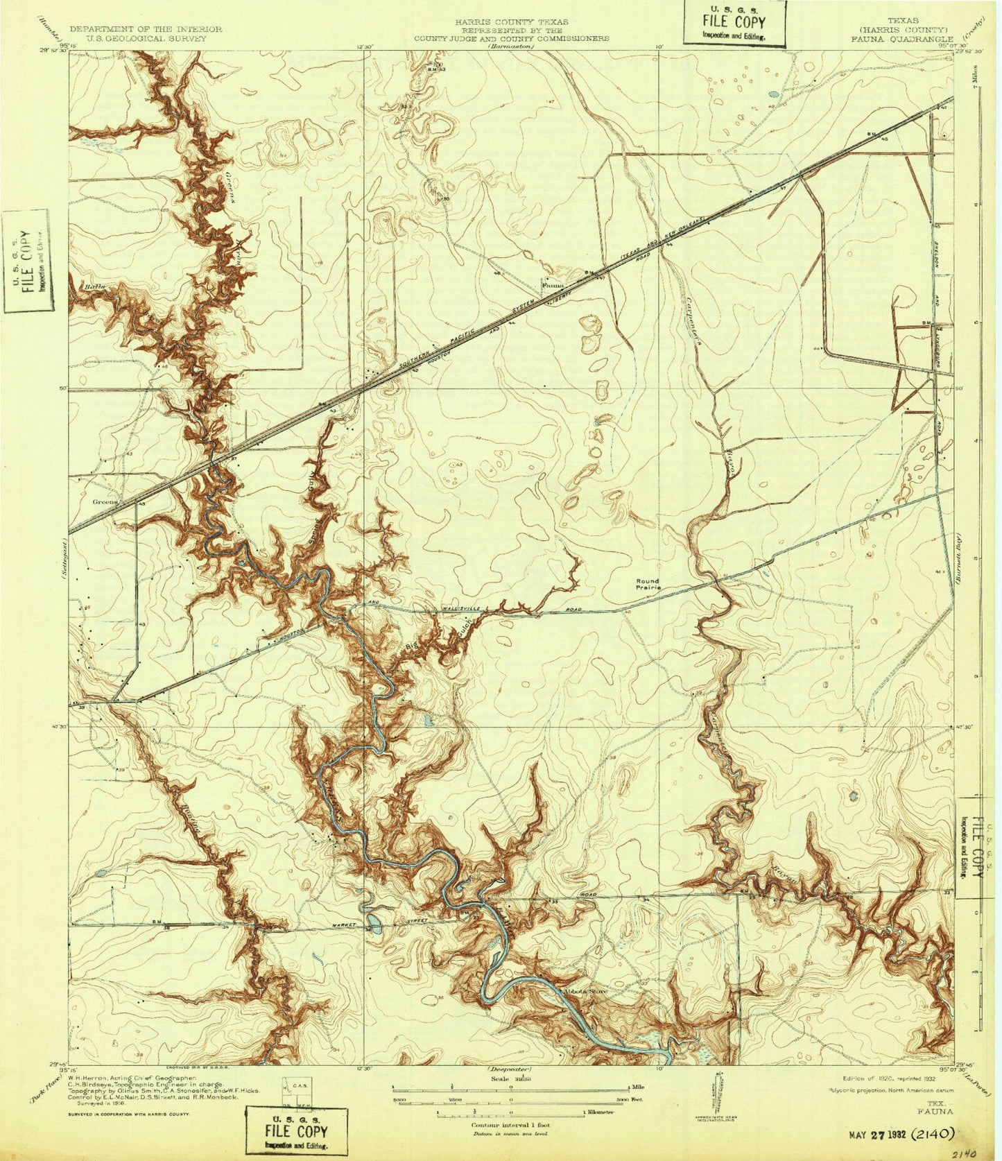
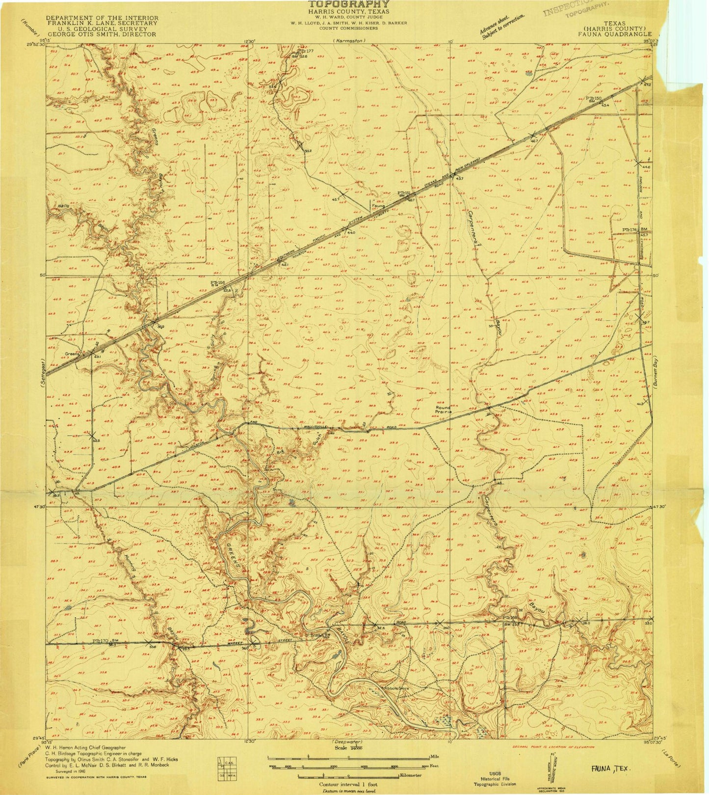
Historical USGS topographic quad map of Jacinto City in the state of Texas. Map scale may vary for some years, but is generally around 1:24,000. Print size is approximately 24" x 27"
This quadrangle is in the following counties: Harris.
The map contains contour lines, roads, rivers, towns, and lakes. Printed on high-quality waterproof paper with UV fade-resistant inks, and shipped rolled.
Contains the following named places: Accelerated Center for Education, Airstream, Alice Johnson Junior High School, B H Hamblen Middle School, Bandera Street Baptist Church, Bayshore Baptist Church, Beaumont Place, Beaumont Place Baptist Church, Ben Reid Center, Big Gulch, Blessed Hope Baptist Church, Brock Park, C E King High School, C E King Middle School, C E King Stadium, Calvary Baptist Church of North Channel, Calvary Church of the Nazarene, Calvary City Church, Calvary Missionary Baptist Church, Channel Wood, Channelview Baptist Church, Channelview Post Office, Channelview Volunteer Fire Department Station 3, Church of God, Church of God of Prophecy, Cimarron Elementary School, Cimarron School, City of Jacinto City, City of Jacinto Fire Department, Clearpoint Baptist Church, Cloverleaf, Cloverleaf Baptist Church, Cloverleaf Census Designated Place, Cloverleaf Elementary School, Cloverleaf Volunteer Fire Department Station 1, Cloverleaf Volunteer Fire Department Station 2, Cobb School, Community Chapel Pentecostal Church of God, Cornerstone Community Church, Cunningham Middle School, Dell Dale Avenue Baptist Church, Delldale, Delldale Penn Church of God, East Belt Baptist Church, East Houston Baptist Church, East Houston Regional Medical Center, East Houston Trinity Missionary Baptist Church, Eastbelt Church of Christ, Eastside Free Will Baptist Church, Emanuel Congregational Methodist Church, Emmanuel United Methodist Church, Falcon Park, Fauna, First Baptist Church, First Baptist Church North Channel, First Baptist Church of Jacinto City, First Baptist Church of Sheldon, First Beltway Baptist Church, Furr High School, Furr High School Baseball Field, Galena Park Fire Department Station 2, Galena Park Independent School District Stadium, Gethsemane Baptist Church, Gethsemani Temple, Glendale Baptist Church, Good Samaritan Missionary Baptist Church - Sandy, Good Shepherd Methodist Church, Green Valley Elementary School, Green Valley School, Greens Bayou, Greens Bayou Assembly of God Church, Greens Bayou Park, Greenwood Park, Halls Bayou, Harris County Cemetery, Harris County Sheriff's Office - Wallisville Substation, Harris R P Elementary School, Harris School, Herman Brown Park, Hidden Forest, High Point Alternative School - La Porte, High Point Alternative School - Sheldon, Holland Avenue Baptist Church, Holy Ghost Pentecostal Margaret Church, Holy Trinity Methodist Church, Houmont Park, Houston Fire Department Station 44, Houston Fire Department Station 53, Houston Fire Station Number 53, Houston Police Department - East Freeway, Houston Post Office Granville W Elder Station, Houston Primitive Baptist Church, Jacinto City, Jacinto City Elementary School, Jacinto City Hall, Jacinto City Library, Jacinto City Police Department, Jacinto City Police Station, Jacinto City United Methodist Church, Jacinto City Volunteer Fire Department, James B Havard Elementary School, Jehovahs Witnesses Church, John Ralston United Baptist Church, Jordan Gully, Kindred Hospital East Houston, King High School, L E Monahan Elementary School, Lakewood Elementary School, Lakewood School, Life Flight Heliport, Market at Hunting Bayou, Market Street Baptist Church, Marwood, Maxey Park, McMullan Primary School, Miles Chapel Church, Miracle Deliverance Holiness Church, Mission Bautista Ebenezer, Monroe Place, Morning Star Baptist Church, Munn Street Baptist Church, New Life Missionary Baptist Church, North Channel Emergency Medical Services, North Shore Church, North Shore Elementary School, North Shore High School, North Shore Hospital, North Shore Middle School, North Shore School, Northshore Community Baptist Church, Northshore East and West Village Shopping Center, Northshore Little League Cloverleaf Field, Northshore Little League Nadolney Field, Northshore Park, Oates Prairie, Old River Terrace, Parkway, Parkway Forest, Philippians Community Church, Pine Trails, Pleasant Green Baptist Church, Praise Community Church, Proctor Museum of Natural Science, Purple Sage Elementary School, Pyburn Elementary School, Pyburn School, R P Harris Elementary SPARK Park Trail, Ralston Acres, Ralston Memorial Presbyterian Church, Redwood Estates, Reservoir Acres, Riviera East, Rockglen General Hospital, Round Prairie, Royalwood, Royalwood Elementary School, Saint Dominic Catholic Church, Saint Philomen Spiritual Baptist Church, Saint Timothys Episcopal Church, San Jacinto College North, San Jacinto College North Baseball Field, San Jacinto College North Gymnasium, San Jacinto Memorial Park, Schochler Primary School, Shadow Glen, Sheldon, Sheldon Acres, Sheldon Census Designated Place, Sheldon Community Fire and Rescue Station 1, Sheldon Community Fire and Rescue Station 2, Sheldon Community Volunteer Fire and Rescue Station, Sheldon Elementary School, Sheldon Fish Hatchery, Sheldon Intermediate School, Sheldon Lake State Park, Sheldon Park, Sheldon Reservoir, Sheldon Reservoir Dam, Sheldon School, Sheldon Wildlife Management Area, Skyhaven Airport, Smith Park, Songwood, South Lake Houston Emergency Medical Service, Southern Bible College, Spring Gully, Sterling Forest, Sterling Green, Sterling Green South, Sulphur Gully, Sunbelt Regional Medical Center East, Templo Pentecostal del Nombre de Jesus Church, Texaco Country Club, The Church of Jesus Christ of Latter Day Saints, Tice Elementary School, Tidelands General Hospital, Trinity Missionary Baptist Church, Twinland Baptist Church, Unity Baptist Church, Viola Cobb Elementary School, Wallsville Gardens, West Canal, Whittier Elementary School, Whittier School, Wilke Park, Winterwood Village, Wood Forest, Wood Forest North, Wood Forest Shopping Center, Wood Forest Square Shopping Center, Woodforest Presbyterian Church, Woodland Acres, Woodland Acres Elementary School, Woodland Acres Junior High School, Woodland Acres Middle School, Wynnewood Acres, ZIP Codes: 77013, 77015, 77049


